3 entries match your criteria.
Related Historical Markers
To better understand the relationship, study each marker in the order shown.

By Bill Kirchner, February 13, 2010
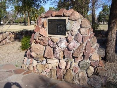
Arizona's Honeymoon Trail Marker
SHOWN IN SOURCE-SPECIFIED ORDER
| | For nearly forty years, couples from Arizona settlements left their homes each fall after harvest and traveled 400 miles to St. George, Utah. Winding slowly through desert and steep canyons, crossing barren plateaus, and passing rivers and pools of . . . — — Map (db m27552) HM |
| | Historic Temple Trail
The Temple Trail which has two parts, was used during the years 1874-1876 to bring lumber by ox-team from two sawmills at Nixon Springs on the south face of Mount Trumbull to St. George, eighty miles away, for constructing . . . — — Map (db m59362) HM |
| On South 300 East, on the right when traveling south. |
| | The Temple Trail
The temple trail is the route used from 1871 to 1877 to haul timber from Mt. Trumbull, Arizona, to St. George, Utah, for the building of the St. George LDS Temple. Pioneers traveled 80 miles along the rough, dirt road, hauling . . . — — Map (db m59311) HM |
Apr. 20, 2024
