Fredericksburg, Virginia — The American South (Mid-Atlantic)
Civil War Defenses
December 1862
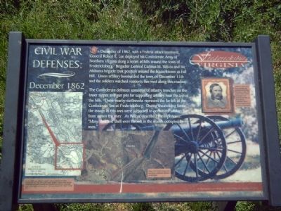
The Confederate defenses consisted of infantry trenches on the lower slopes and gun pits for supporting artillery near the top of the hills. These nearby earthworks represent the far left of the Confederate line at Fredericksburg. During the ensuing battle, the troops in this area were subjected to occasional artillery fire from across the river. As Wilcox described the experience: “Many shot and shell were thrown in the woods occupied by my men.”
Topics. This historical marker is listed in this topic list: War, US Civil. A significant historical month for this entry is December 1862.
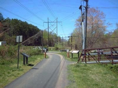
Location. This marker has been replaced by another marker nearby. It was located near 38° 18.984′ N, 77° 29.165′ W. Marker was in Fredericksburg, Virginia. Marker could be reached from Fall Hill Avenue. Marker is at the northern entry point of the Old Canal Pathway. Touch for map . Marker was in this post office area: Fredericksburg VA 22401, United States of America. Touch for directions.
Other nearby markers. At least 8 other markers are within walking distance of this location. Confederate Defenses in December 1862 (here, next to this marker); Confederate and Federal Defenses in May 1863 (a few steps from this marker); A Once Promising Canal Becomes a Raceway (within shouting distance of this marker); Rappahannock River Heritage Trail (within shouting distance of this marker); Fall Hill Road (approx. 0.2 miles away); Tactical Terrain (approx. 0.2 miles away); Industrial Interlude (approx. 0.3 miles away); Embrey Dam (approx. 0.4 miles away). Touch for a list and map of all markers in Fredericksburg.
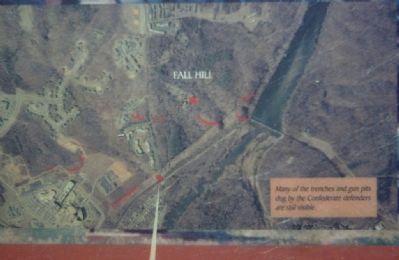
More about this marker. In the lower center of the marker is an overhead picture of the Fall Hill area. “Many of the trenches and gun pits dug by Confederate defenders are still visible.”
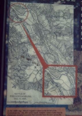
In the lower left of the marker is an overhead map of the Hill area. “In this 1880s map, Wilcox’s brigade is shown at the far left of the Confederate line. His after action report, however, makes it clear that his Alabamians occupied a position that extended from the river, across the road to the heights in front of you. The house labeled “Dr. Taylor” is Fall Hill.”
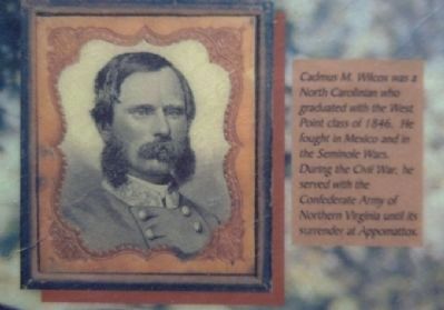
In the upper right of the marker is a portrait of Brigadier Wilcox.
“Cadmus M. Wilcox was a North Carolinian who graduated with the West Point Class of 1846. He fought in Mexico and in the Seminole Wars. During the Civil War, he served with the Confederate Army of Northern Virginia until its surrender at Appomattox.
Related marker. Click here for another marker that is related to this marker. New Marker At This Location titled "Confederate Defenses in December 1862".
Credits. This page was last revised on February 2, 2023. It was originally submitted on April 15, 2008, by Kevin W. of Stafford, Virginia. This page has been viewed 1,586 times since then and 19 times this year. Photos: 1, 2, 3, 4, 5. submitted on April 15, 2008, by Kevin W. of Stafford, Virginia.
