Whitesboro in Grayson County, Texas — The American South (West South Central)
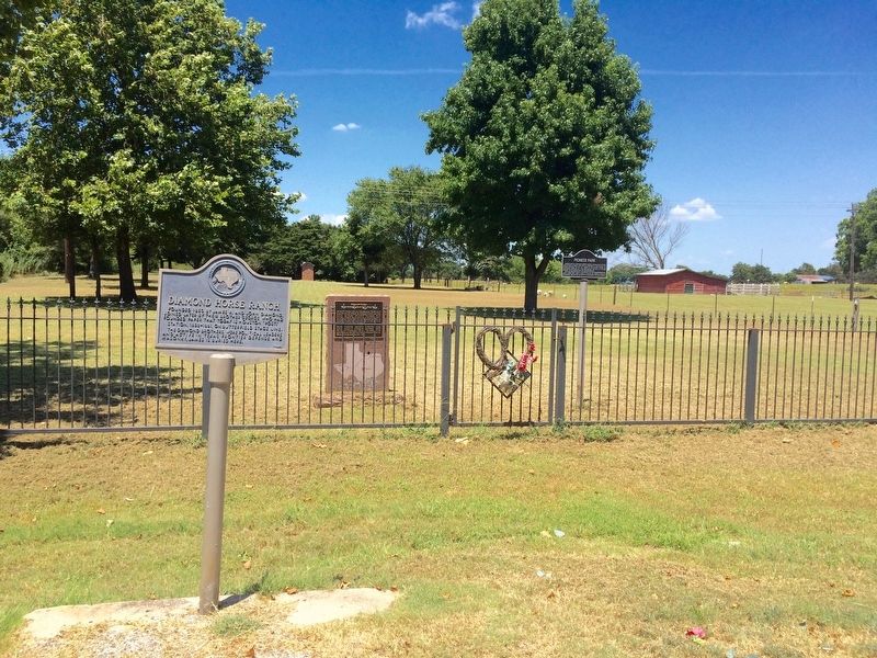
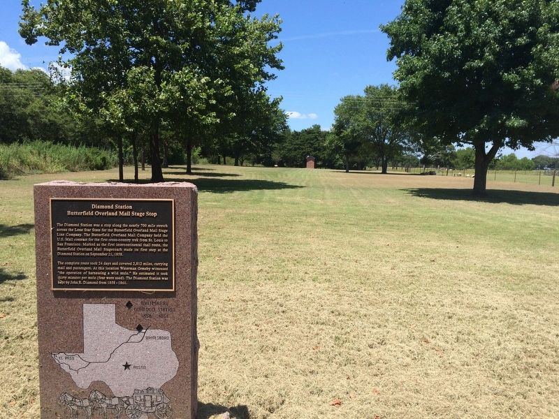
Diamond Station
Butterfield Overland Mail Stage Stop
The complete route took 24 days and covered 2,812 miles, carrying mail and passengers. At this location Waterman Ormsby witnessed "the operation of harnessing a wild mule." He estimated it took 30 minutes per mule (four were used). The Diamond Station was kept by John R. Diamond from 1858 - 1861.
Topics and series. This historical marker is listed in these topic lists: Animals • Notable Places • Roads & Vehicles. In addition, it is included in the Butterfield Overland Mail series list. A significant historical date for this entry is September 21, 1858.
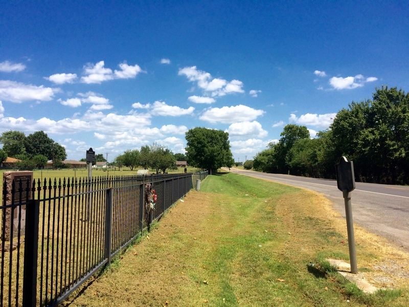
Location. 33° 39.354′ N, 96° 55.676′ W. Marker is in Whitesboro, Texas, in Grayson County. Marker is on West Main Street (State Highway 56) 1.1 miles east of U.S. 82, on the right when traveling west. Touch for map. Marker is at or near this postal address: 1057 West Main Street, Whitesboro TX 76273, United States of America. Touch for directions.
Other nearby markers. At least 8 other markers are within 8 miles of this marker, measured as the crow flies. Diamond Horse Ranch (here, next to this marker); Pioneer Park (within shouting distance of this marker); Whitesboro (approx. 1.3 miles away); Sanborn Ranch (approx. 6.1 miles away); Gainesville (approx. 6.3 miles away); The Cross Timbers (approx. 6.4 miles away); Hiram Lodge No. 433, A. F. & A. M. (approx. 6.7 miles away); Salem Community Well (approx. 7.1 miles away). Touch for a list and map of all markers in Whitesboro.
Regarding Diamond Station. The Butterfield Overland Mail route used White's Westview Inn as the Diamond Station on its trail from the Mississippi River to the Pacific Coast from 1858 to 1861.
It was part of the 6th Division Route of the Butterfield Overland Mail route which ran from Fort Chadbourne, twelve miles to the north across Valley Creek to Station #1 then sixteen miles to Mountain Pass Station, then thirty miles, past the route of the Texas and Pacific Railway, a mile west of the site of present Tye, to Fort Phantom Hill, then twelve miles more to Smith's Station, twenty six miles to Clear Fork station, thirteen miles to Franz's Station and then twenty-two miles to Fort Belknap. From Fort Belknap the line turned eastward sixteen miles to Murphy's Station (near present Graham, Texas), then nineteen miles to Jacksboro, Texas, sixteen miles to Earhart's Station, twenty-four miles to Davidson's Station, then seventeen miles to Gainesville, Texas, fifteen miles to Diamond's station (one mile west of the site of present Whitesboro), fifteen miles to Sherman and across the Red River at Colbert's Ferry, eight miles below Preston, Texas to Indian Territory.
Related marker. Click here for another marker that is related to this marker.
Also see . . . Texas State Historical Association article about the Butterfield Overland Mail. (Submitted on August 11, 2016, by Mark Hilton of Montgomery, Alabama.)
Credits. This page was last revised on August 11, 2016. It was originally submitted on August 11, 2016, by Mark Hilton of Montgomery, Alabama. This page has been viewed 1,031 times since then and 201 times this year. Photos: 1, 2, 3, 4. submitted on August 11, 2016, by Mark Hilton of Montgomery, Alabama.


