The Chisholm Trail probably began as a buffalo migration route, linking summer pastures in the Central Plains to winter pastures in Texas. American Indians followed the buffalo and shared the route with U.S. explorers, who mapped it in the 1850s. In . . . — — Map (db m96433) HM
A mile southeast of this marker the Chisholm Trail entered Kansas. It took its name from Jesse Chisholm, Indian trader, whose route lay between the North Canadian river and present Wichita. In 1867 it was extended from the Red river to Abilene when . . . — — Map (db m49504) HM
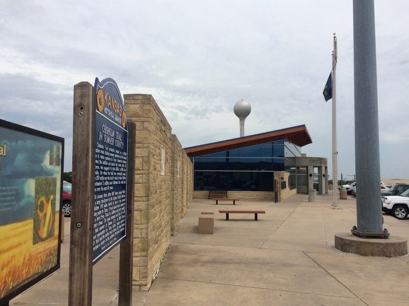
[Side A]
Bluestem in the Flint Hills
"Texas shipped up the horns,” Kansas cowmen used to say, “and we put the bodies under them.” They meant that bony steers from Texas grew fat in the Bluestem pastures of Kansas. . . . — — Map (db m73107) HM
When Kansas territory was opened for white settlement on May 30, 1854, a bitter contest developed over the slavery question. Established the following December, Topeka, 25 miles ahead, favored the Free-State cause even though the territorial . . . — — Map (db m55359) HM
First called Camp Pond Creek, Fort Wallace was established in 1865. The fort served as the headquarters for troops given the task of protecting travelers headed west along the Smoky Hill Trail to the Denver gold fields. Fort Wallace was the . . . — — Map (db m77906) HM
When the Kansas Territory was created in 1854, it stretched all the way to the Rocky Mountains. The current state boundary, a few miles west of here, took effect in 1861 when Kansas was admitted into the Union and the Colorado Territory was . . . — — Map (db m77900) HM
This building, constructed in 1857 by G.H. Hollenberg on his ranch here on the Oregon Trail, was a station on the Pony Express route in 1860-1861. It is believed to be the only such station which has remained unaltered on its original site. — — Map (db m53293) HM
Kansas has long been oil country. There are legends that Indians held council around the lights of burning springs. Emigrants, it is known, skimmed "rock tar" from such oil seeps to grease the axles of their wagons.
A mile southeast is the site . . . — — Map (db m57598) HM
When the Pilgrims landed at Plymouth Rock, many different Indian nations occupied what is now the United States. European settlement gradually resulted in many of these native peoples being pushed to the west.
In 1825 the U.S. government . . . — — Map (db m46324) HM
Just east of this marker, at a point where an old Indian trail led to the water's edge, Moses Grinter established the first ferry on the Kansas River. The year was 1831, and Grinter became the earliest permanent white settler in the area. His ferry . . . — — Map (db m46329) HM
Where the Kaw river joins the mighty Missouri in its sweep eastward, has witnessed many events of historical significance to this area, among them:
1804. Lewis and Clark, on their epic exploring trip assaying the new Louisiana Purchase, . . . — — Map (db m69478) HM
First Ferry in Kentucky. License for first ferry established in state, Oct. 1779, was granted to Col. Richard Callaway by the Virginia legislature. The fare for a man or a horse was three shillings (50 cents). The ferry operated until 1931, . . . — — Map (db m165367) HM
Nathaniel Hart
Nathaniel Hart was born in Hanover County, Virginia, in 1734. A key figure in the purchase of land in Kentucky from Cherokee Indians, he came to Boonesborough in 1775. Killed in 1782 by Indians near this old house, and buried . . . — — Map (db m239141) HM
113 entries matched your criteria. Entries 101 through 113 are listed above. ⊲ Previous 100