On Runnymeade Road (County Route 26) at Soldier Drive, on the right when traveling west on Runnymeade Road.
At Bunker Hill in 1726, Colonel Morgan Morgan founded the first permanent settlement of record in what is now West Virginia. In commemoration of this event, the state of West Virginia has erected a monument in Bunker Hill State Park, and has . . . — — Map (db m134056) HM
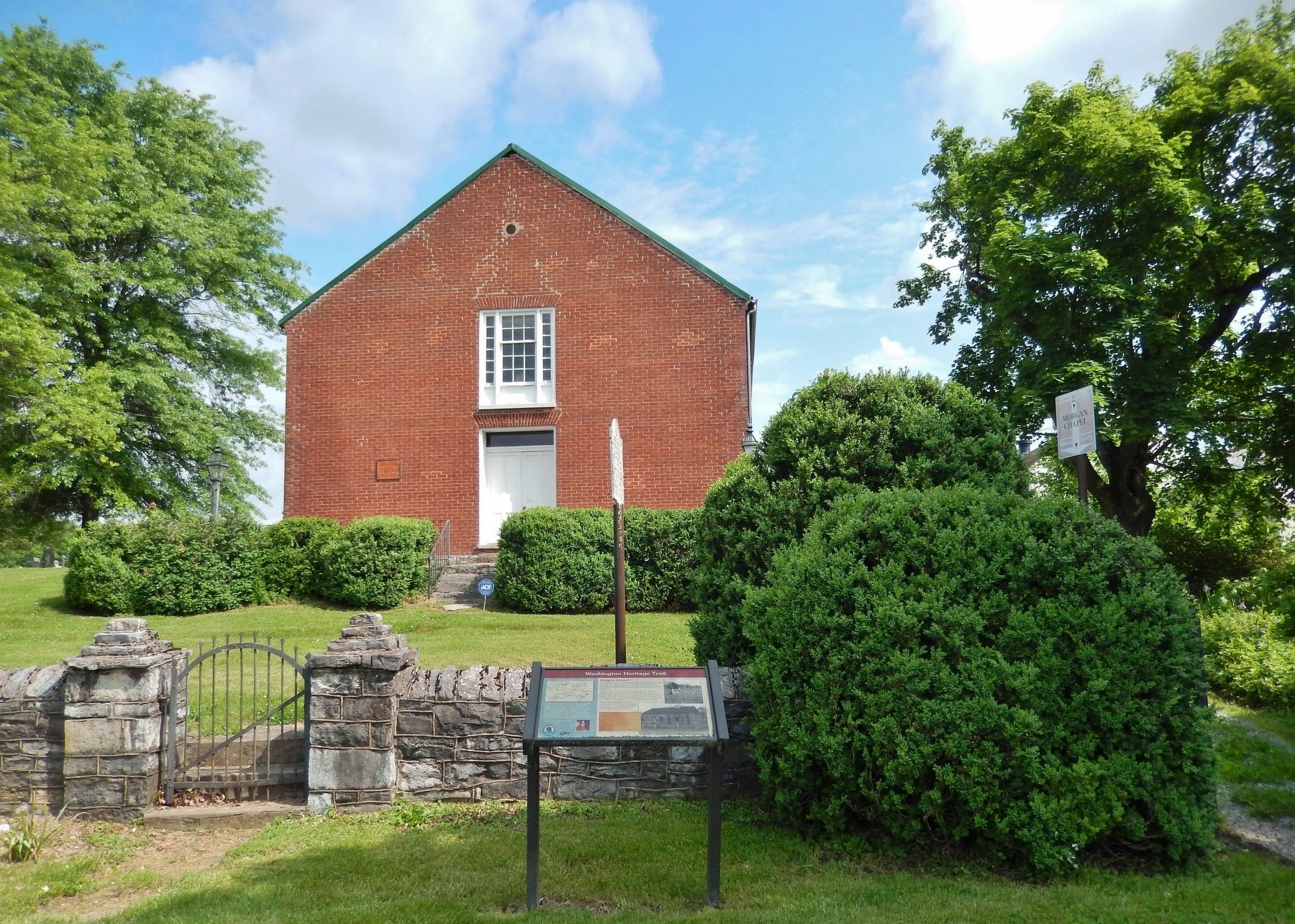
On Bodine Street north of Hedgesville Road (West Virginia Route 9), on the left when traveling east.
During the French and Indian War (c. 1750) Virginia Militia Col. George Washington supervised the construction of Fort Hedges, a stockade fort built along the Warm Spring Road at the heavily-traveled Skinner's gap atop North Mountain (740 feet . . . — — Map (db m117316) HM
On East John Street east of South Water Street, on the right when traveling west.
Adam Stephen (1720-1791) had a close acquaintance with George Washington through their association with Lord Fairfax and from their military involvements from the French & Indian War through the American Revolution. Stephen was present with . . . — — Map (db m167507) HM
On East John Street east of South Water Street, on the right when traveling west.
Built in the mid-1870s by Philip Showers, who owned the adjacent stone house (the Adam Stephen House) at that time, the Triple Brick Building was listed in early tax records as the "Tribble (Triple) House" or "the brick house divided into . . . — — Map (db m132401) HM
On George Street at Washington Street on George Street.
Explore the Washington Heritage Trail George Washington knew the portion of the Shenandoah Valley that forms West Virginia's Eastern Panhandle well. The Washington Heritage Trail lets you drive the scenic backroads that join Charles Town to . . . — — Map (db m12596) HM
On East German Street (State Highway 45) at Princess Street (County Route 230), on the right when traveling west on East German Street.
In 1775, Shepherdstown (formerly known as Mecklenburg) was asked to furnish one company (about 100 men) to assist patriots fighting the British around Boston. In July, the company marched in high spirits down German Street with the entire town . . . — — Map (db m4851) HM
On German Street (West Virginia Route 230) west of Princess Street (West Virginia Route 230), on the right when traveling west.
Such an admirable site for mills, tanneries, and other industries, was not to be found every day.... And so they began, with the industry of beavers, to erect their mills, dwellings, forges, tanneries, shops, schools and meeting houses; . . . — — Map (db m103738) HM
On South Mercer Street at Fairfax Street (West Virginia Route 9), on the left when traveling north on South Mercer Street.
In 1885, noted Maryland businessman, Colonel Samuel Taylor Suit began construction on the elaborate summer cottage now known as Berkeley Castle. The land was part of the original Fruit Hill Farm owned before the Civil War by John Strother of the . . . — — Map (db m117311) HM
On North Washington Street (U.S. 522) at Independence Street, on the right when traveling north on North Washington Street.
Nearly 30 years after colonial travelers, including a teenaged George Washington, pitched tents and "took the waters" in stone lined pools, the Virginia Legislature in 1776 established a town called Bath on 50 acres around the warm mineral . . . — — Map (db m117303) HM
On Congress Street at North Washington Street (U.S. 522), on the right when traveling west on Congress Street.
The historic spa town of Bath is known to the world by its post office name of Berkeley Springs.
From the time he was 16 through the reading of his will in 1799, George Washington ate, slept, owned land and bathed in and around Berkeley . . . — — Map (db m117301) HM
On South Washington Street (U.S. 522) north of Liberty Street, on the right when traveling south.
Today's 4.5-acre Berkeley Springs State Park has always been public ground. Native tribes were known to use the springs but none called it home. Colonial owner Thomas Lord Fairfax allowed its public use. When the town was established in 1776, the . . . — — Map (db m117307) HM
On Middle Fork Road at Picnic Circle, on the left when traveling west on Middle Fork Road. Reported unreadable.
Insider tip — the word is pronounced Ca-cay-pun.
Cacapon Mountain runs north/south and divides Morgan County into the heavily forested mountainous western segment and the more populous and settled east. The mountain ends at Panorama . . . — — Map (db m159473) HM
On South Washington Street (U.S. 522) south of Liberty Street, on the right when traveling south.
For more than 200 years, the area bordering the park and springs on which the Country Inn stands, has been the historic spa town's center of hospitality.
In September 1784, George Washington stayed at Sign of the Liberty Pole and Flag . . . — — Map (db m117309) HM
On Warren Street at South Green Street on Warren Street.
Palatinate Germans, called Dutch from the translation of Deutsch, migrated south to Berkeley Springs from Pennsylvania. Lots 1 and 2 of the original town plat were set aside by the trustees in 1777 for a German church and two other houses. There is . . . — — Map (db m117314) HM
Near Overlook Trail, 4.6 miles south of Middle Fork Cabin Lane, on the right.
Cacapon Mountain, where you are standing, is the westernmost of the pair of north/south mountains that mark the region as belonging to the ridge and valley section of the Appalachians. Looking out from the overlook, you see its eastern . . . — — Map (db m156764) HM
On Fish Hatchery Road (County Road 38/10) just east of Valley Road (U.S. 522), on the left when traveling east.
What was once West Virginia's only bass fish hatchery now produces nearly 70,000 pounds of trout a year.
Ridge Fish Hatchery was opened in 1931 through the influence of two local men: Vernon Johnson, Chairman of the Fish and Game Commission . . . — — Map (db m159475) HM
On Fairfax Street at Wilkes Street on Fairfax Street. Reported damaged.
The second floor of the historic Roman Bath House, oldest public building in Berkeley Springs is the Museum of the Berkeley Springs with exhibits on the natural and cultural history of the springs and town. There are both permanent and changing . . . — — Map (db m117306) HM
On North Washington Street (U.S. 522) north of Congress Street, on the right when traveling north.
After the Civil War, Berkeley Springs was divided between two conflicting economic forces. Hotels and bathhouses dominated the streets surrounding the warm mineral springs. The buildings of DeFord's First National Tannery bumped up against them, . . . — — Map (db m117300) HM
On Independence Street at North Mercer Street, on the right when traveling east on Independence Street.
The north end of town has generally seen industrial use including sawmills, canneries, coal and wood yards and sand mines. It was laid out as the Crosfield Addition in the early 1880s. By the end of the decade, Washington St. had been widened. . . . — — Map (db m159449) HM
On Central Avenue (West Virginia Route 9) just east of Stinebaugh Lane, on the right when traveling east.
The tiny hamlet of Great Cacapon is situated on the western side of Cacapon Mountain on the Potomac River just upstream from its juncture with the Cacapon River. Artifacts of a Native American town circa 1300 AD have been found along the Potomac . . . — — Map (db m148832) HM
On West Virginia Route 9, on the right when traveling west.
Today's View Panorama Overlook marks the north end of Cacapon Mountain's 30-mile march. Composed of Oriskany sandstone, it plunges nearly 1000 feet into the Potomac River, which bends along the base of the Overlook as it heads downstream . . . — — Map (db m167603) HM
On West Virginia Route 9 at Winchester Street, on the right when traveling east on State Route 9. Reported unreadable.
The Washington Heritage Trail is a 136-mile national scenic byway inspired by the prominent footsteps of George Washington through the three historic counties of West Virginia’s Eastern Panhandle. Compelling history, spectacular scenery, geologic . . . — — Map (db m450) HM