On Gayoso Avenue at South Center Lane, on the left when traveling east on Gayoso Avenue.
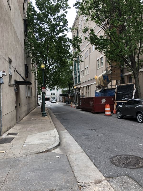
Center Lane alley is one of the
best examples of what Memphis
looked like in the late 19th century.
Note the arched windows, the
metal shutters, and the decorative
cast iron columns, probably made
by Chickasaw Iron Works. — — Map (db m221384) HM
Near Monroe Avenue east of South Front Street, on the left when traveling east.
The Cotton Growers Association Building, built in 1936, was used for years in advertisements for the Portland Cement Association as an example of the outstanding designs that could be achieved with concrete construction. — — Map (db m148957) HM
On Barboro Alley at South Main Street, on the right when traveling west on Barboro Alley.
Italian immigrant Anthony Sebastian Barboro operated a wholesale grocery in this building in the late 1800s. His company was still in business in 2003. — — Map (db m148962) HM
On Madison Avenue just east of South B.B. King Boulevard, on the right when traveling east.
Baseball came to Memphis in 1885, but didn't last long because city law prevented games from being played on Sundays. Scores were transmitted to local cigar stores and hotel lobbies by telegraph. — — Map (db m148915) HM
Near Monroe Avenue just west of South Main Street, on the left when traveling west.
Brodnax Jewelers, the original occupant of the Brodnax Building, at one time sold more Rolex watches than any other retailer in the world. When this building was built in 1916 as their headquarters, their mail-order business claimed to sell more . . . — — Map (db m148949) HM
Near Monroe Avenue east of South Center Lane, on the left when traveling east.
The "B-M-C" over the door of this 1910 building stood for the Business Men's Club, which became the Chamber of Commerce in 1913. — — Map (db m148948) HM
Near Union Avenue at Wagner Street, on the right when traveling east.
The Cobblestones that line the river landing once stretched all the way to Front Street, from Beale Street north to Court Avenue. The cobblestones were installed between 1859-1881 and are still intact underneath the pavement on Union Avenue. — — Map (db m148901) HM
On Barboro Alley at South Main Street, on the right when traveling east on Barboro Alley.
In the 1860s, Madame Cora
James claimed to give psychic
predictions, recover stolen goods,
and cure insanity and nervous
diseases from her room around
the corner on Main. — — Map (db m221385) HM
On North 2nd Street (State Highway 14) at Court Avenue, on the right when traveling south on North 2nd Street.
Court Square was almost sold to developers in the 1870s to pay back debts incurred in the yellow fever epidemics. It was almost sold again in the early 1900s for a skyscraper, and still again in the 1940s for parking. — — Map (db m148966) HM
On North Main Street at South Court Avenue, on the right when traveling north on North Main Street.
The D.T. Porter Building was Memphis’ first skyscraper and the tallest building south of St. Louis when completed in 1895. Some city officials believed a building that tall would blow over in a strong wind. Visitors paid 10 cents to ride one of the . . . — — Map (db m148974) HM
Near Monroe Avenue south of South Main Street, on the right when traveling east.
U.S. Marshal Orville Webster
and Memphis police detective
Will Smiddy, who was also a
bootlegger, shot each other
outside Smiddy's saloon in
a face-off during the
early days of Prohibition. — — Map (db m221388) HM
Near Union Avenue at South Main Street, on the right when traveling east.
Before 88 Union Center was renovated in the 1980's, it was known as the Three Sisters Building for the ladies apparel store that opened here in 1938. Before that, the 1927 building was called the Farnsworth Building after its financier, C.F. . . . — — Map (db m148904) HM
On Union Avenue east of South Front Street, on the right when traveling east.
Parking can be fun, but not as fun as a show at Loew's Palace, where "talking movies" debuted in Memphis in 1928. The theater, where Harry Houdini and others performed in the 1920s, was razed in the 1980s. — — Map (db m116720) HM
On Union Avenue at November 6th Street, on the right when traveling west on Union Avenue.
On October 25, 1948 at 4p.m., Nat D. Williams signed on at WDIA radio, becoming the first black disc jockey on the South's first all-black radio station. His revolutionary rhythm and blues program followed a show called "Hillbilly Party" and . . . — — Map (db m116723) HM
Near South 2nd Street (State Highway 14) at Monroe Avenue, on the left when traveling north.
In 1929, the architects of the National Bank of Commerce wanted to convey the strength of the bank by basing their design on ancient Greek temples. It's built according to the "Golden Section" rule, meaning that its width to length ratio is almost . . . — — Map (db m148958) HM
Near South 2nd Street (State Highway 3) at South Court Avenue, on the right when traveling south.
August 2nd, 1885: A riot broke out after police arrested 16-year-old Hattie Manely of Xenia, Ohio. Manely was an African-American who didn't realize she was committing a crime when she sat in a chair in Court Square vacated by a white man. — — Map (db m148971) HM
On South November 6th Street at Gayoso Avenue, on the right when traveling south on South November 6th Street.
“The Mansion,” one of the many
brothels that lined Gayoso Avenue
when prostitution was legal in the late
1800s, stood here. It was the home of
madam Annie Cook, who died treating
victims of the yellow fever epidemic
after she turned her house . . . — — Map (db m221386) HM
Near Barboro Alley at South Center Lane, on the right when traveling west.
In 1883, flames from a store on the north side of Barboro made it across the alley and burned down the city's old opera house, the Greenlaw. — — Map (db m148961) HM
Near Union Avenue (U.S. 70) just west of Charlie Vergos' Rendezvous Alley, on the right when traveling west.
Everyone knows that ducks swim in the Peabody's fountain, but for a short time in the 1930s the fountain also contained baby alligators. During World War II, enlisted men who had nowhere else to stay were allowed to sleep on the floor of the lobby . . . — — Map (db m148910) HM
Near Union Avenue (U.S. 70) at Charlie Vergos' Rendezvous Alley.
"The Mississippi Delta begins in the lobby of the Peabody Hotel and ends on Catfish Row in Vicksburg … If you stand near its fountain in the middle of the lobby, where ducks waddle and turtles drowse, you will see everybody who is anybody in the . . . — — Map (db m148912) HM
Near Union Avenue at South B.B. King Boulevard (Tennessee Highway 3), on the right when traveling west.
Designed by Chicago Architect Walter Ahlschlager in 1925, the Peabody was restored by Philip and Jack Belz in 1980. During the restoration, workers removing a basement wall to install a pipe accidentally discovered the hotel's original blueprints . . . — — Map (db m148914) HM
Near Union Avenue at South Front Street, on the right when traveling west.
The Public Promenade was deeded to the City of Memphis by its original proprietors in 1828 for public walking and leisure. It originally included 36 acres along the west side of the Mississippi Row, now Front Street, from Union to Jackson Avenue. — — Map (db m148903) HM
Near Union Avenue at South 2nd Street (Tennessee Highway 14), on the right when traveling west.
In 1872 every building in this city block was leveled in what was called "the worst fire in Memphis history". The entire cost of the damage was $266,000 or about the cost of one large new house in 2003. — — Map (db m148907) HM
Near Monroe Avenue just west of Maggie H. Isabell Street, on the right when traveling west.
Cousins Tony Angelos and Charles Skinner emigrated from Greece together and opened "The Hole in the Wall" cafe behind the old Peabody Hotel in 1911. In 1923, they opened the Bon Ton Cafe, which became a favorite haunt of Elvis in his early days and . . . — — Map (db m148960) HM
Near Monroe Avenue at South Center Lane, on the left when traveling east.
This was the site of the original Peabody Hotel from 1869 until 1923. George Peabody was a businessman who set aside $3.5 million to improve education in the South in 1868. After his death the following year, friend and business associate Robert . . . — — Map (db m148956) HM
Near Monroe Avenue just east of South Front Street, on the left when traveling east.
The 10th through 12th floors of the Shrine Building held the headquarters of the Al Chymia Shrine Temple from 1923 to 1936, and the Shriners' logo is still etched above the door. The Shrine Building was renovated into apartments by Henry Turley in . . . — — Map (db m148946) HM
On Union Avenue at South Main Street, on the right when traveling east on Union Avenue.
Contrary to popular belief, Union Avenue’s name has nothing to do with the Civil War. The street was the southern boundary of Memphis until 1850, when the city consolidated with the rival city of South Memphis. The street was named to commemorate . . . — — Map (db m151241) HM
On Monroe Avenue at South Main Street, on the right when traveling west on Monroe Avenue.
Memphians have been asking
“Who is William Len?” ever
since the Wm. Len Hotel,
now apartments, opened in 1930.
William Len Seaman was the
father-in-law of the hotel's
manager and one of the
richest men in Arkansas. — — Map (db m221391) HM