[left panel] Black Rock Harbor. The Village of Black Rock received its name from a large rock outcropping that jutted into the river about a half mile south of this site. The original ferry crossing was located at the rock and a small village grew . . . — — Map (db m97956) HM
[left panel] Broderick Park Welcome to Broderick Park, a waterfront park of the City of Buffalo! Broderick Park is significant as the site of the Black Rock Ferry, a historic crossing point between the United States and Canada for over 120 years. . . . — — Map (db m97957) HM
Freedom Seekers faced daunting odds and demonstrated remarkable courage. Most started their journeys with little knowledge of what lay before them, and many sought help from free blacks and sympathetic whites once they reached the north. . . . — — Map (db m97931) HM
Lillion Batchelor founded Buffalo Quarters Historical Society in 1995. Her purpose was to increase National and International awareness of the significant role of Buffalo in the Underground Railroad movement. The Society presents annual . . . — — Map (db m220636) HM
From this site and from other places along the Niagara River escaping slaves were conducted across the boundary from the United States to freedom in Canada. — — Map (db m97933) HM
The vista along Court Street from Niagara Square to Lafayette Square embraces a continuum of human struggle for freedom and justice. In the center of the vista stands a monument to the soldiers and sailors who perished in the war to preserve the . . . — — Map (db m92834) HM
Helped found Niagara Mov't, forerunner of NAACP, chaired US Anti-lynching Committe, delegate to 1920 Internat'l Council of Women, 1866-1923 — — Map (db m175092) HM
Before the Civil War, escaping slaves were hidden in a concealed area in the basement of this church until they could escape to fredom in Canada. — — Map (db m81272) HM
The Michigan Street Baptist Church is the oldest building in Buffalo built and continuously owned and occupied by the city's black residents. The congregation, formed in 1836, raised enough maney to construct their own church in 1844. . . . — — Map (db m81273) HM
William Wells Brown, writer and abolitionist, lived at 13 Pine Street. Escaping slavery in Missouri in 1834, Brown made his way to Cleveland then to Buffalo in 1835. As a crew member on a Lake Erie steamer he helped slaves escape to Canada. Later, . . . — — Map (db m81219) HM
Pre-1800 The Ongiara Confluence of Little Buffalo Creek and the Buffalo River with Lake Erie in the background, 1815. The region's original inhabitants were the Ongiara, a peaceful Iroquois tribe, from whom the name Niagara is derived. Long . . . — — Map (db m84777) HM
William Wells Brown, an escaped slave from Kentucky, earned his living as a cook on lake freighters in the early days of the Erie Canal. In 1836, he moved his family to Buffalo, and soon became involved with the city's African-American community. . . . — — Map (db m84558) HM
The Michigan Avenue Corridor was founded to preserve the roots of freedom and the heritage of Buffalo's East Side. Byron W. Brown, Mayor. City of Buffalo Office of Strategic Planning, Timothy J. Wanamaker, Executive Director. From its earliest . . . — — Map (db m81227) HM
The Bellevue Neighborhood was one of the earliest settlements in Cheektowaga, when the Ely family settled there and established one of the first saw mills in Cheektowaga along Cayuga Creek. These family members were abolitionists and maintained an . . . — — Map (db m82326) HM
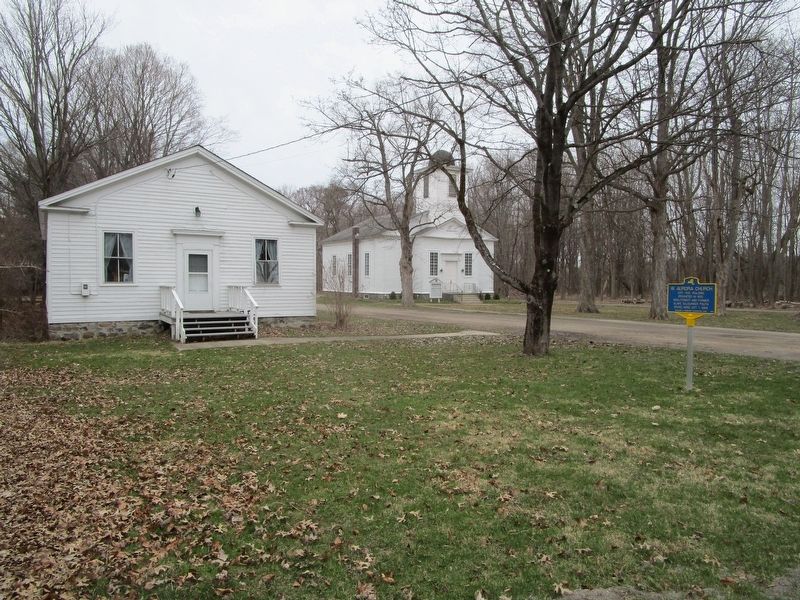
Site of Underground Railway Station ——•—— Sterling Ely, and his brother, L. Sheldon Ely, both Abolitionists, operated an Underground Rail- way Station, between the years 1850 and 1863. At least 26 escaping black . . . — — Map (db m82308) HM
Built in 1840 - replaced log cabin erected when property was acquired from Holland Land Company in 1804. The Baker family - prominent Quakers in this area - lived here for five generations. This home served as one last station of Underground Railway . . . — — Map (db m80830) HM