Marker series published by Missouri’s Civil War Heritage Foundation, Inc., highlighting activities across the state. Not to be confused with the series published by the Missouri Department of Natural Resources.
By Cosmos Mariner, September 9, 2017
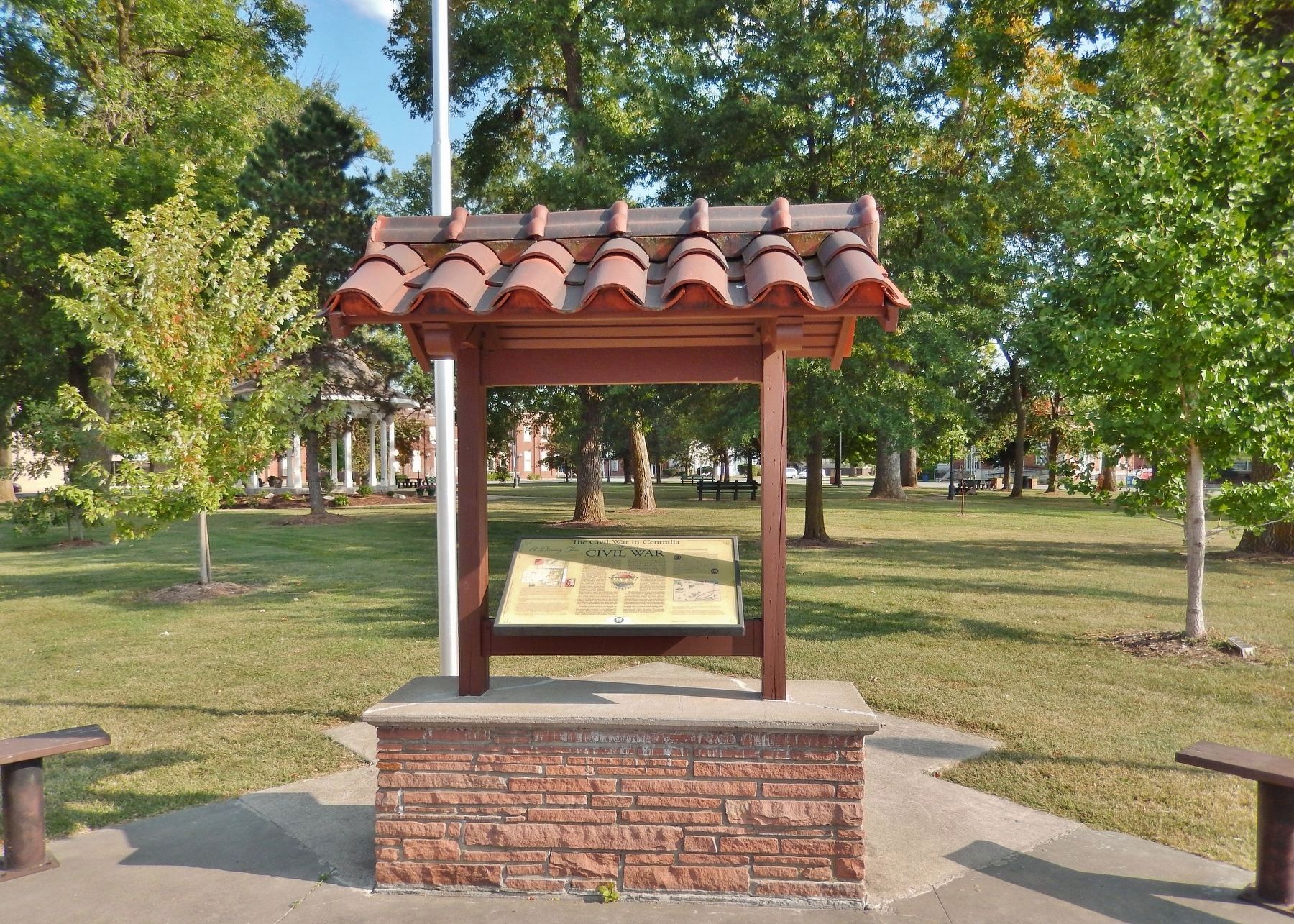
Civil War Marker (wide view; showing marker, kiosk, and City Square Park in background)
A violent encounter between Southern partisan cavalry and Union forces occurred in and near Centralia on September 27, 1864. The Southern forces were irregular Confederate partisan rangers under the overall command of William "Bloody Bill” . . . — — Map (db m116878) HM
Old Auxvasse Presbyterian is one of the oldest congregations west of the Mississippi. But this hill on which the congregation first met in 1828 in a log church earlier hosted travelers along the Trial, some of whom likely were buried here before the . . . — — Map (db m216974) HM
The July 28, 1862, Battle of Moore's Mill opened about one-eighth mile south along the Moore's Mill-Galbreath Mill road, near today's State Road JJ. This area then was heavily timbered.
Lying in ambush east of the road were about 260 . . . — — Map (db m207957) HM
Combat Operations at Moore's Mill
Pursued by more than 700 mounted troops under Union Col. Odon Guitar about 260 Confederate horsemen under Col. Joseph C. Porter enter the vicinity of Moore's Mill (now Calwood) on Monday morning, July . . . — — Map (db m207958) HM
The Civil War divided Missouri, but in Callaway County more soldiers served with the pro-Southern Missouri State Guard (MSG), the Confederate Army or irregular partisans. The MSG was a state-sanctioned force, organized in May 1861 to defend . . . — — Map (db m70386) HM
"The Columns" atop this hill are the venerated remains of Westminster College's original academic building, Westminster Hall, destroyed by fire in 1909. Founded in 1851, Westminster was one of the few Missouri colleges to function in some fashion . . . — — Map (db m70437) HM
Williamsburg and its rural neighborhood, including the Loutre River valley to the east, were home to several famous, even notorious Southern guerrillas.
One such was Capt. Alvin Cobb of "Cobbstown," in western Montgomery County, Mo. A large, . . . — — Map (db m212623) HM
The Civil War on the Missouri-Kansas border was an extension of the raiding and looting that took place during the Bleeding Kansas era of 1854 to 1860. Early in the war, Kansas Jayhawkers and Redlegs dressed in blue Union uniforms looted and . . . — — Map (db m20318) HM
In 1864, the Confederate Army mounted a major incursion into Missouri, designed to liberate the state from federal control. Known as Price's Expedition, a force of 12,000 cavalry and mounted infantry, under the command of former Missouri governor . . . — — Map (db m169299) HM
The City of Pacific, once known as Franklin, takes its name from the railroad that bustles through town. Up to the time of the Civil War only the Pacific Railroad ran from St. Louis to this point.
The main line of the Pacific Railroad was . . . — — Map (db m168408) HM
As far back as anyone can recall, the cave on the right bank of Meramec River, one hundred miles upstream from its confluence with the Mississippi River, was called Saltpeter Cave. Anyone venturing into Saltpeter, or any of the other large . . . — — Map (db m173410) HM
The City of Union was founded in 1825. It was the second county seat of Franklin County, replacing New Port, which served the county from the time it separated from St. Louis County in 1818. In 1859, John T. Vitt constructed the brick building . . . — — Map (db m124309) HM
Washington Railroad Depot Burns
Confederate General Marmaduke's forces were advancing on Washington as October 1864 approached, with fear and widespread panic among the town's residents. Many citizens crossed the river to evade the advance of . . . — — Map (db m239173) HM
Settlers to what we now call Iron County arrived in the first few decades of the 19th century. Little did they know what would unfold just a few more decades later when the Civil War erupted in Missouri.
One of those first settlers was Ephraim . . . — — Map (db m99167) HM
You are standing on the site of the Danville Female Academy, and at your front is the sole surviving building of the Academy, the chapel and dormitory.
The Female Academy was founded in 1853 by the Reverend James H. Robinson at a time when . . . — — Map (db m42744) HM
Missouri achieved statehood in 1821 as a result of the famous "Missouri Compromise." It was decreed that Missouri be admitted as a slave state, but thereafter no state north of the 36º 30' North latitude in the Louisiana Territory would be . . . — — Map (db m44280) HM
More than one hundred and fifty years ago, Brigadier General John Pope faced a tactical dilemma on the Mississippi River. Confederate batteries at Island No. 10 blocked passage through a complex series of river bends. Although Pope held New Madrid, . . . — — Map (db m238834) HM
To further protect New Madrid from Union attack, a smaller fort was built on the east side of town at the mouth of St. John's Bayou. This upper fort, named Fort Bankhead (the original location was washed away by the ever-changing Mississippi River) . . . — — Map (db m82002) HM
In February 1862, Union Gen. John Pope, then stationed in central Missouri, was placed in command of the 20,000-man Army of the Mississippi and ordered to advance on Island #10 and New Madrid. On February 28th, Pope and his men left Commerce, MO and . . . — — Map (db m82006) HM
Northwest Missouri Tinderbox
Conflict and uncertainty were widespread in northwest Missouri in the summer of 1864. Federal forces struggled in a heavy-handed manner to control areas much too large for their capabilities. Raiders from . . . — — Map (db m65997) HM
Bellefontaine Cemetery serves as the final resting place for over 86,000 souls and counting. With 314 acres and fourteen miles of roadways, Bellefontaine is home to dozens of architectural landmarks representing St. Louisans and their families since . . . — — Map (db m155782) HM
Troops Encamped in the Park
In 1861, Lafayette Park became a federal campsite known as Camp Jessie. Jessie Benton Fremont was the wife of Major General John C. Fremont and the daughter of Missouri Senator Thomas Hart Benton.
Sarah . . . — — Map (db m140052) HM
The structure that once occupied this place was the home of United States Senator John Brooks Henderson and his wife Mary Foote Henderson, two people who made their marks on the history of the nation. John Henderson was born in Virginia in 1824, . . . — — Map (db m159508) HM
Father Dickson Cemetery was founded in 1903. The cemetery is named for Moses Dickson, a prominent African American abolitionist who passed away in 1901 and was re-interred here. This was one of the first public cemeteries in St. Louis available to . . . — — Map (db m163583) HM
The Jefferson Barracks National Cemetery was established by joint resolution of Congress in 1866, among the first burial grounds officially designated in the wake of the Civil War. Under the care of the Veterans Administration, the facility is . . . — — Map (db m124986) HM
Belles of St. Louis
In the 1820s , Jefferson Barracks was the largest military installation in the western United States, Consequently, many young men were stationed there fresh out of West Point,. Not surprisingly, many who would become . . . — — Map (db m192914) HM WM
In 1826, the year of Thomas Jefferson's death, Jefferson Barracks, named after him, was established ten miles south of St. Louis. Now a Missouri Air National Guard installation, it is the oldest continuously operating U.S. military post west of the . . . — — Map (db m163572) HM
Ulysses Grant's arrival at Jefferson Barracks in September, 1843, as a new officer out of West Point, commenced a long relationship with St. Louis. In 1848, he married the former Julia Dent of St. Louis County, at the Dents' city home at Fourth and . . . — — Map (db m163566) HM
Nevada City was laid out as Vernon County's seat of government in 1855, and was named for a California town prominent during the Gold Rush. Founding spirit DeWitt C. Hunter had spent some years mining there before returning to western Missouri . . . — — Map (db m34210) HM