John Ballendine built this finely proportioned Georgian House, “Rockledge,” in c. 1760. William Buckland, a premier colonial Chesapeake architect, reportedly designed it. “Rockledge” is a rare example of a Tidewater Virginia . . . — — Map (db m2384) HM
A prominent stone located near this spot was the beginning point of the 1804 survey of Occoquan’s boundaries. A survey line running from the stone enclosed the 31-acre tract subdivided into streets and lots on the town plat. Today the stone is . . . — — Map (db m2458) HM
In 1804, after Virginia’s General Assembly granted a charter, Occoquan was platted on 31 acres of founder Nathaniel Ellicott’s and others’ land. The Plat laid off streets and lots. Structures shown included the public wharf, Ellicott’s Mill and . . . — — Map (db m2365) HM
On Commerce Street, on the left when traveling east.
Commerce Street was a residential and commercial area from the early 19th through mid-20th centuries. Houses, many of which survive, faced the street on lots surveyed on the 1804 town plat. Businesses included the Hammill Hotel and a General Store. . . . — — Map (db m86043) HM
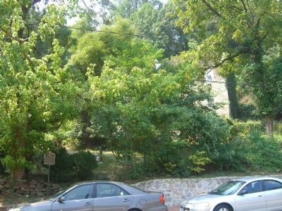
On Commerce Street at Washington Street (County Route 253), on the right when traveling west on Commerce Street.
Ex-slave Lewis H. Bailey organized Ebenezer Baptist Church in 1883. It is one of the oldest African-American Baptist congregations in Eastern Prince William County. The original church, built on this site in 1883–1884, was one of Occoquan’s . . . — — Map (db m2455) HM
John Ballendine established this gristmill at the Occoquan Falls ca. 1755. By 1800 it was owned by Nathaniel Ellicott and housed machinery to unload grain from wagons or barges, grind it, and return it to its carrier. The building, the region’s . . . — — Map (db m2385) HM
This brick, lancet-windowed church, built ca. 1925 is Occoquan’s second Methodist church. The first wood-frame church, located on Commerce St. behind the present structure, burned in the 1916 town fire. Besides its original tenants, other church . . . — — Map (db m2383) HM
Mill Street has been Occoquan's commercial center since the early 1800s. The Alton Hotel, Taverns, a bank, a pharmacy, grocery and hardware stores, and other businesses served local residents and travelers on the main east coast north south highway. . . . — — Map (db m2382) HM
Occoquan founder Nathaniel Ellicott built the first bridge here c. 1800. The “Great Mail Route” from Washington to the south crossed here. In 1878 an iron Pratt Truss Bridge was erected. This bridge was on the main east coast north-south . . . — — Map (db m2392) HM
Occoquan’s Public Wharf was here. This wharf and others at the Occoquan River’s highest navigable point were key to the 19th- and early 20th-century town’s porsperity. Ships were built, barges carried grain to Ellicott's Mill, and flour, logs, fish . . . — — Map (db m2367) HM
On Commerce Street, on the right when traveling east.
Odd Fellows Crescent Lodge No. 3 erected this frame meeting hall in 1889. Volunteer Lodge members and a paid carpenter built it. The first floor was a public meeting room and theater. The Masons, American Legion, church congregations and other . . . — — Map (db m2416) HM
On Washington Street, on the left when traveling north.
This c. 1900 house was Ogle Harris’ Store. Harris, son of a slave, first sold homemade ice cream from the house’s since-razed summer kitchen. In c. 1910 he moved his family from the building, which was then his residence, and began selling . . . — — Map (db m5617) HM
On Commerce Street, on the left when traveling east.
The three-story hotel, named for operator Edward Hammill, may be Occoquan’s first brick building. Tradition says it was built in 1804, but it likely dates from c. 1830. It was the Town’s premier inn. Confederate Col. Wade Hampton made it his . . . — — Map (db m2421) HM
The Dogues, an Algonquian tribe, occupied the Occoquan River Watershed in the early 1600s. In their dialect, Occoquan means “at the end of the water.” They lived in villages, hunted and fished, and raised corn, beans, squash, and . . . — — Map (db m2390) HM