On East Harrison Street west of South Jefferson Avenue, on the right when traveling east.
As the Confederates advance neared town, Union Brig. Gen. Egbert B. Brown belatedly realized that a dozen houses south and west of Fort No. 4 would block his fire. He immediately ordered the houses burned to deprive the enemy of cover, allowing . . . — — Map (db m170780) HM
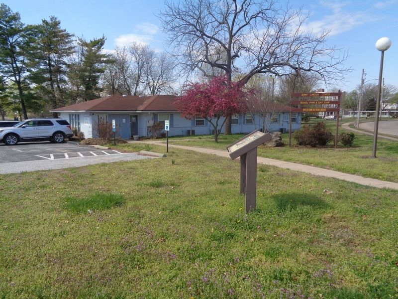
On Park Central East at E St. Louis Street, on the left when traveling east on Park Central East.
On Jan. 6, 1863, Brig. Gen. John S. Marmaduke entered Missouri with nearly 2,600 men to attack Union supply lines and communications and to disrupt the Union thrust into northern Arkansas. Lightly garrisoned but with a vast store of military . . . — — Map (db m170770) HM
On West Walnut Street at South Market Street, on the right when traveling east on West Walnut Street.
This point marks the farthest advance of the Confederates into the city. After finally routing the 72nd Enrolled Missouri Militia, Confederates were forming along Walnut Street for the final assault into the city when drums along Jordan Creek to the . . . — — Map (db m35920) HM
On South Avenue north of North Walnut Street, on the left when traveling north.
On this spot stood the two-story brick Methodist church converted by Federal authorities into the city arsenal. Pressed for manpower to defend Springfield against approaching Confederate raiders, Union Brig. Gen. Egbert B. Brown authorized Brigade . . . — — Map (db m170771) HM
On John Q. Hammonds Parkway south of St. Louis Street, on the right when traveling north.
Across from this site stood Fort No. 5, the second largest of five forts built around Springfield. By January 8, 1863, the fort was only partially finished. It served only as a rallying point during the battle. From this point and along St. Louis . . . — — Map (db m79811) HM
On South Campbell Avenue at West Mt Vernon Street, on the right when traveling north on South Campbell Avenue.
After massing his troops near here in the late afternoon, Col. J.O. Shelby made a final effort to take Fort No. 4, the key to the Union line. The Confederates struck at sunset, but in desperate, nearly point-blank combat, the Union defenders . . . — — Map (db m170775) HM
On South Avenue at West Mount Vernon Street, on the right when traveling south on South Avenue.
Just across South Avenue (behind you) stood Union Fort No. 4, a 160-foot earthen redoubt surrounded by a deep trench. During the night of Jan. 7-8, 1863, two 12-pound howitzers were placed in this fort. The gun barrels were found on the grounds of . . . — — Map (db m170778) HM
On South Avenue north of Grand Street, on the right when traveling north.
Brig. Gen. John S. Marmaduke's Confederate cavalry raiders entered Missouri in three columns, for speed and secrecy. The largest of these, 1,600 men lauded as "Shelby's Brigade" under Col. J.O. Shelby, arrived near Springfield at dawn on Jan. 8, . . . — — Map (db m170782) HM
On West State Street west of South Campbell Street, on the right when traveling east.
In 1863, this was an area of one-story homes known as Dutchtown. On this spot stood a brick college building that had been converted into a military prison by the addition of a wooden stockade. Union forces inexplicably failed to garrison it, which . . . — — Map (db m170774) HM
On South Main Avenue south of West Mt Vernon Street, on the right when traveling north.
Near this point the 250 men of the 72nd Enrolled Missouri Militia met the Confederates' afternoon attack. These local militiamen were from all walks of life. They had some military training but little experience, as they were only called to serve in . . . — — Map (db m170772) HM