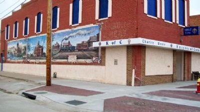
7 entries match your criteria. Great Platte River Road Historical MarkersMarkers highlighting the trading and immigrant routes that followed the Platte River, a main portion of the Oregon, California, and Mormon trails going west across the central Great Plains between 1841 and 1866. By William Fischer, Jr., February 19, 2012 Kearney: From the Beginning Marker and Murals GEOGRAPHIC SORTTitle SortMarker Number SortMarker Number Sort NMarker Number Sort TPublication Order Sort Publication Order Sort AErected Year SortMost Viewed SortMost Recent-Interest SortMost Recently Changed SortSEE FAQ #33 FOR DESCRIPTIONS 1 ► Nebraska, Buffalo County, Kearney — Kearney — From the Beginning — 2 ► Nebraska, Buffalo County, Kearney — 364 — The Great Platte River Road — 3 ► Nebraska, Deuel County, Big Springs — 113 — The Great Platte River Road — 4 ► Nebraska, Keith County, Ogallala — 1 — The Great Platte River Road — 1813 - 1840 — 5 ► Nebraska, Keith County, Ogallala — 2 — The Great Platte River Road — 1841- 1866 — 6 ► Nebraska, Lincoln County, Sutherland — 110 — The Great Platte River Road — 7 ► Nebraska, Lincoln County, Sutherland — 111 — The Great Platte River Road —