Anniston Civil Rights Trail, Alabama Historical Markers
The Anniston Civil Rights Trail project began in 2010 to remember the people who risked their lives in Anniston during the tumultuous 1960s Civil Rights Movement across the South.
By Mark Hilton, August 5, 2017
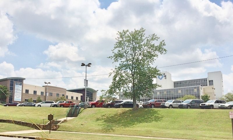
Formerly the Anniston Memorial Hospital, now the Northeast Alabama Regional Medical Center.
On East 10th Street, on the right when traveling east.
When seven injured "Freedom Riders" arrived at the Hospital on
this date, the mob that had attacked them earlier in the day
followed. The Riders were testing desegregation of public
transportation in the South by riding buses. The bus they . . . — — Map (db m106647) HM
On East 10th Street at Wilmer Avenue, on the right when traveling east on East 10th Street.
Desegregation of the Library began when two African American
pastors, Reverends William B. McClain and Nimrod Q. Reynolds,
peacefully attempted to enter the building on September 15, 1963.
Their actions were endorsed by the city of Anniston . . . — — Map (db m106644) HM
On Gurnee Avenue north of West 10th Street, on the right when traveling north.
Front
This was the site of the Greyhound bus terminal where on May 14, 1961, a bus carrying black and white Civil Rights Activists known as "Freedom Riders" was attacked by a mob of whites who were protesting desegregation of public . . . — — Map (db m106621) HM
On East D Street at South Christine Avenue, on the left when traveling east on East D Street.
Saint John, founded at the turn of the 19th century, is the first
African-American Methodist Episcopal Church in South Anniston.
The original structure was built in 1922. The current building was
erected in 1951 on the corner of D Street and . . . — — Map (db m144905) HM
On West 17th Street at Cooper Avenue, on the right when traveling west on West 17th Street.
Seventeenth Street Missionary Baptist Church served as the home of "mass meetings" for black Annistonians who planned and executed Anniston's part of the Civil Rights Movement. Reverends D.C. Washington (1937-1960) and Nimrod Q. Reynolds . . . — — Map (db m106651) HM
On West 4th Street east of Spruce Avenue, on the right when traveling east.
Local "Jim Crow" laws in the first half of the 20th century enforced racial segregation in public transportation facilities throughout the South. The U.S. Supreme Court decision in Boynton v. Virginia (1960) upheld that segregation in these . . . — — Map (db m106602) HM
On Gurnee Avenue south of 12th Street, on the right when traveling south.
The Anniston City Commission, on May 16, 1963, established by resolution the Human Relations Council, consisting of five white men and four black men. The Council's purpose was to "make recommendations concerning human relations," and its members . . . — — Map (db m106627) HM
On West 11th Street at Gurnee Avenue, on the right when traveling west on West 11th Street.
Willie Brewster became the target of white extremists after words spoken at a National States Rights Party encouraged them to commit acts of violence against blacks. As Brewster drove home with co-workers from the night shift at Union Foundry, he . . . — — Map (db m106626) HM
On Noble Street at 9th Street, on the right when traveling north on Noble Street.
Throughout the first half of the 20th century, race relations in the South were dominated by local "Jim Crow" laws. Although in 1960 the Supreme Court ruled that racial segregation violated the Interstate Commerce Act, local laws persisted. . . . — — Map (db m106605) HM
On West 15th Street west of Walnut Avenue, on the right when traveling west.
This district was once the economic and social hub of Anniston's African American community. In its heyday (1940-1950), the District was a "city within a city," with businesses that catered to the black community. Grocery stores, restaurants, . . . — — Map (db m106650) HM