Ashqelon is a coastal city, located on the Via Maris. Its plentiful water sources and fertile soil account for its prominence throughout the ages. Its name, Ashqelon, derived from the term Sheqel, a weight-measure, attests to its role as a trade sea . . . — — Map (db m132462) HM
Before you are remains of the moat and the wall that enclosed the Muslim city. In 1153 CE, the Crusaders conquered Ashqelon from the Muslims. In 1187 the Muslims, led by Saladin, drove the Crusaders out of the city, destroyed it and blocked up the . . . — — Map (db m132466) HM
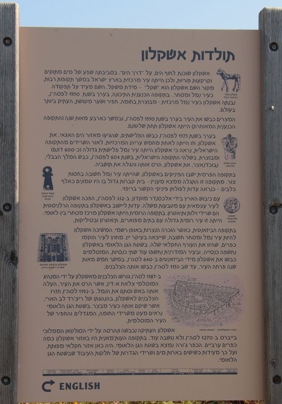
The Middle Bronze period, Ashqelon was a prominent port town, founded ca. 1950 BCE, with a population of roughly 15,000. Its inhabitants farmed for a living and exported their agricultural produce - wine, olive oil, wheat, sheep and cattle - to . . . — — Map (db m132496) HM
This is the most ancient arched gate in the world. It consists of an arched corridor with arched openings on both ends. The gate was constructed in approximately 1850 BCE as part of the city’s fortification system, and is built mostly of mud bricks . . . — — Map (db m132499) HM
The Canaanite city was established in approximately 1950 BCE and some 15,000 people lived here. The 600-dunam city was fortified by a wall and a moat about 100 years after it was established, in defense against the Egyptian threat. The wall stood . . . — — Map (db m132494) HM
Before you are the remains of a sanctuary constructed within the stone glacis near the road leading from the beach to the city.
The silver-coated bronze statuette of a calf was discovered inside a shrine-shaped pottery vessel in a storeroom of . . . — — Map (db m132497) HM
"But the stores laid up within would have excited still more amazement... For here had been stored a mass of corn, amply sufficient to last for years, abundance of wine and oil, besides every variety of pulse and piles of dates."
Josephus Flavius
. . . — — Map (db m220341) HM
Even from space, Makhtesh Ramon appears as a masterpiece of the spirit of the earth.
This is the genesis landscape from which Ilan Ramon's name is taken. This is the most fitting place to commemorate the Space Shuttle Columbia crew, who perished on . . . — — Map (db m126980) HM
The story of the Negev Brigade in the War of Independence
(Nov, 1947 – March, 1949)
The Brigade, whose ranks included local settlers, fought
courageously against superior forces – Arab irregulars and the
invading Egyptian Army . . . — — Map (db m92482) WM
"For the actual top, being of rich soil and softer than any plain, was given in the king to cultivation: in order that, should there ever be a dearth of provision from outside, those who had committed their lives to the protection of the fortress . . . — — Map (db m220352) HM
Generations go by and the mountain remains. Herod built for himself a magnificent fortress-palace, and the Romans and the Jewish rebels added a drama of siege and slaughter. Here the early monks of the Judean desert sought communion with the creator . . . — — Map (db m128331) HM
Masada has been inscribed upon the World Heritage List in accordance with the Convention concerning the Protection of the World Cultural and Natural Heritage, 1972. Inscription on this List confirms the exceptional universal value of Masada . . . — — Map (db m220251) HM
Visitors to Masada in ancient times reached the summit just as we do today, from the east. After climbing to Masada up the Snake Path, they too made their way to the southeastern entrance of the Northern Palace. Here they reached a planned . . . — — Map (db m220357) HM
Who could be entrusted with the defense of the refuge fortresses in the desert built by a king who feared rebellion from within and enemies from without?
The commandants of the desert fortresses were apparently trusted associates of the king, . . . — — Map (db m220358) HM
"There too, he built a palace on the western slope, beneath the ramparts on the crest and inclining towards the north" (Josephus Flavius, The Jewish War VII, 289).
The Northern Palace is without a doubt the architectural pearl of Masada and one . . . — — Map (db m220304) HM
"The former (path) they call the snake, seeing a resemblance to that animal in its narrowness and continual windings... One traversing it must firmly plant each foot alternately. Destruction faces him, for on either side yawn chasms so terrific as . . . — — Map (db m220359) HM
The sleeping and guest quarters of the Northern Palace show great similarity to a palace in Rome attributed to a close associate of Emperor Augustus, Marcus Agrippa, who is known to have been Herod's patron. The king's sleeping quarters were . . . — — Map (db m220303) HM
Here you see the two outer gatehouses, one on top of the other. look through the scope to get an idea of the size of the lower gatehouse. It was built at the time of King Asa (908-867 BCE) or King Jehoshaphat (870-867 BCE), and continued in use . . . — — Map (db m132577) HM
The Assyrian army built a huge stone ramp against the city walls. This ramp allowed the attackers to bring up battering rams to breach the wall. The base of the ramp you see here is about 70 meters wide and 16 meters high.
As in other places in . . . — — Map (db m132530) HM
Lachish was situated close to the western border of the Kingdom of Judah, facing the Philistines cities and on the to Egypt. Because of the city’s location, the kings of Judah built particularly strong fortifications for it, including a number of . . . — — Map (db m132608) HM
The palace apparently served as the seat of the city’s governor representing the king of Judah. The huge palace complex from the time of King Hezekiah extended over more than 12.5 dunams (1.25 hectares) and included a large courtyard, a central . . . — — Map (db m132611) HM
The biblical, city of Lachish is identified with the archaeological mound you see before you, on the edge of Wadi Lachish, along which ran the main road from the coastal plain to the Hebron Mountains.
Settlement began here in the Neolithic . . . — — Map (db m132634) HM
In this room some 20 potsherds were discovered, bearing inscriptions in ink (ostraca) in ancient Hebrew. These letters are dated to the last years before the Babylonian invasion of the Land of Israel (beginning of the sixth century BCE).
The . . . — — Map (db m132606) HM
The entrance to the fortified city from the time of the kings of Judah was via an impressive gateway enclosure consisting of an outer and an inner gatehouse, between which was an open paved plaza.
The gateway was the beating heart of the city . . . — — Map (db m132598) HM
May 29, 1948, the IAF/Machal's first combat operation occurred here. The four planes from Squadron 101 were all the fighters the Air Force had.
The surprise attack significantly helped the Givati and Negev brigades halt the Egyptian column . . . — — Map (db m223890) HM
"The fittings of the interior - apartments, colonnades and baths - were of manifold variety and sumptuous ..."
Josephus Flavius
Beyond the human need for cleanliness, the bathhouse also had a social function. Bathing and the . . . — — Map (db m64079) HM
Why did the king raise doves on the mountain?
There were three columbarium towers on Masada. The one in front of us was used as a dovecot in its ground floor, and as a watchtower in its upper story. In the walls of the dovecot are several . . . — — Map (db m64068) HM
A large and rare concentration of finds from the time of the revolt was found in a corner of the room of the wall in which we stand: inscribed sheets of papyrus, fragments of scrolls, silver shekel coins, textiles, sandals, and glass vessels and . . . — — Map (db m64071) HM
Here the siege of Masada ended. The ramp that the Romans had built up to the summit of the mountain reached to below this point. At the top of the ramp rose the siege tower, and in it was the battering ram with which the Romans assaulted the . . . — — Map (db m64069) HM
"...then, having chosen by lot ten of their number to dispatch the rest... these, having unswervingly slaughtered all, ordained the same rule of the lot for one another, that he on whom it fell should slay first the nine and then himself last of . . . — — Map (db m64101) HM
How to organize community life under siege?
Near the western entrance square were discovered large concentrations of inscribed pottery shards (ostraca) from the period of the revolt. They bear names, combinations of letters or single letters in . . . — — Map (db m64077) HM
"Long since, my brave men, we determined neither to serve the Romans nor any other save God ..."
Josephus Flavius
The rebels' way of life on Masada required a building suitable for community meetings and Torah readings. This . . . — — Map (db m64076) HM
The path that climbed to Masada from the west via the cisterns terminated at this gate. Visitors to the mountain and the beasts of burden that carried water took this path to the summit of Masada. A channel starting at the gate carried to some of . . . — — Map (db m64148) HM