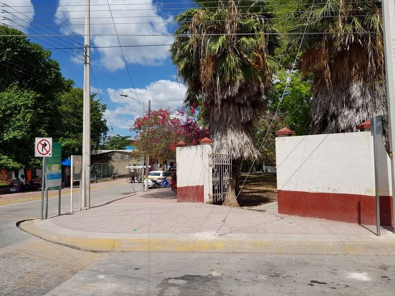
By J. Makali Bruton, March 31, 2019
Bacalar Marker
| On Calle 22 at Calle 7, on the right when traveling west on Calle 22. |
| On Alfredo López Mateos at Calle 10, in the median on Alfredo López Mateos. |
| On Adolfo López Mateos at Calle 10, in the median on Adolfo López Mateos. |
| On Avenida Adolfo López Mateos at Calle 2, on the left when traveling north on Avenida Adolfo López Mateos. |
| On Avenida Adolfo López Mateos at Calle 6, on the left when traveling north on Avenida Adolfo López Mateos. |
| On Avenida 3 just north of Calle 22, on the right when traveling north. |
| On Calle 26 at Calle 7, on the left when traveling west on Calle 26. |
| On Avenida 7 at Calle 18, on the right when traveling north on Avenida 7. |
| On Avenida Alfredo López Mateos at Calle 10, in the median on Avenida Alfredo López Mateos. |
| Near Avenida 3 just east of Calle 22, on the right when traveling north. |
| On Avenida Adolfo López Mateos at Calle 4, on the left when traveling north on Avenida Adolfo López Mateos. |
| On Calle 7 at Calle 22, on the right when traveling south on Calle 7. |
| On Avenida 5 at Calle 20, on the left when traveling north on Avenida 5. |
| On Avenida 3 just north of Calle 22, on the right when traveling north. |
| On Calle 7 just south of Calle 24, on the right when traveling north. |
| On Calle 28 at Avenida 9, on the right when traveling west on Calle 28. |
| On Calle 22 just west of Avenida 3, on the right when traveling west. |
| On Avenida 3 just east of Calle 22, on the right when traveling north. |
| On Avenida Adolfo López Mateos just south of Calle 0, on the right when traveling south. |
| On Avenida Adolfo López Mateos at Calle 8, on the right when traveling north on Avenida Adolfo López Mateos. |
| On Calle 26 at Avenida 5, on the left when traveling east on Calle 26. |
| On Avenida 3 just north of Calle 22, on the right when traveling north. |
| On Calle 26 just west of Avenida 5, on the left when traveling west. |
| On Avenida Adolfo López Mateos just north of Calle 0, on the left when traveling north. |
