9 entries match your criteria.
Historical Markers and War Memorials in Falmouth, England
By Michael Herrick, August 5, 2018
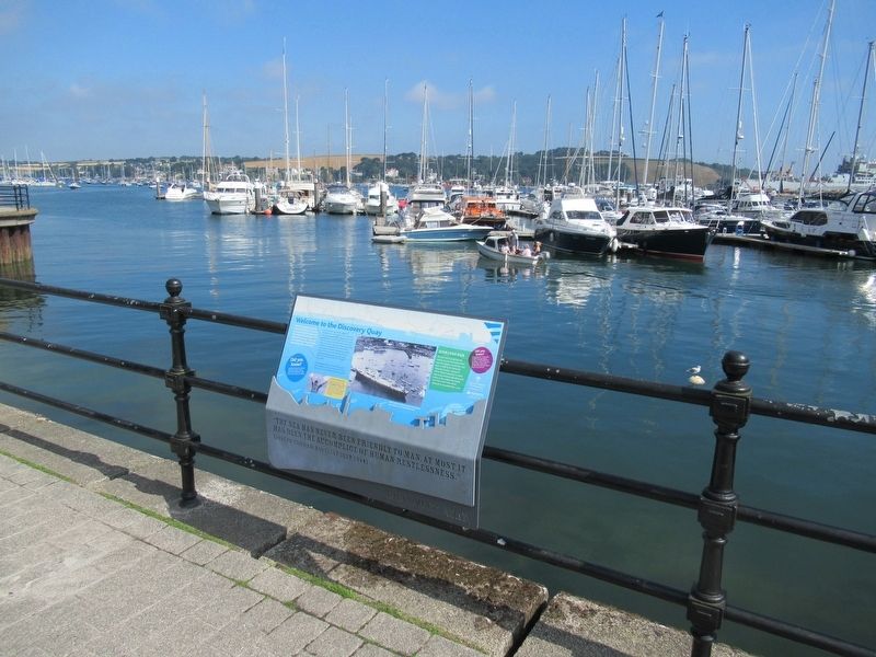
Discovery Quay Marker
| Near Avenue Road at Campbeltown Way, on the right when traveling north. |
| On Pendennis Rise, 0.2 kilometers south of Castle Drive, on the right when traveling south. |
| Near Avenue Road at Campbeltown Way, on the right when traveling north. |
| On Avenue Road at Campbeltown Way, on the right when traveling north on Avenue Road. |
| Near Avenue Road at Campbeltown Way, on the right when traveling north. |
| Near Castle Drive, 0.8 kilometers south of Cliff Road, on the left when traveling south. |
| Near Avenue Road close to Campbeltown Way, on the right when traveling north. |
| Near Avenue Road at Campbeltown Way, on the right when traveling north. |
| On Castle Drive, 0.8 kilometers south of Cliff Road, on the right when traveling south. |
Apr. 25, 2024