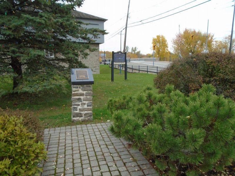
On Main Street at St. Lawrence Street (Provincial Highway 15/43), on the right when traveling west on Main Street.
Established in 1908 by Ernest Thomas
Pastor of the Methodist Church
Merrickville, Ontario Canada
The first Scout Troop in North America
It was founded under the 1908 Scout Promise:
"On my honour, I will do my duty to God
and the King. . . . — — Map (db m142180) HM
On St. Lawrence Street (Provincial Highway 15/43) at Rideau Canal, on the right when traveling south on St. Lawrence Street.
The Merrickville blockhouse is one of four blockhouses constructed on the Rideau Canal. Its architecture is a typical design utilized throughout British North America. The 3.5 foot (1.06 metres) walls were designed to be strong enough to . . . — — Map (db m142312) HM
On Main Street just west of St. Lawrence Street (Provincial Highway 15), on the right when traveling west.
Why the Canals are Twinned
These two canals were constructed in the early 19th century for military reasons. Both Canals grew into commercial highways, survived as recreational waterways and are now important heritage resources. . . . — — Map (db m142314) HM
On Main Street (Provincial Highway 43) at Elgin Street, on the left when traveling east on Main Street.
In 1793 William Merrick (1760-1844), a Loyalist from Massachusetts, acquired from Roger Stevens a sawmill at the "Great Falls" on the Rideau River. Here he built new mills which formed the nucleus of a small community that grew up before 1816 and . . . — — Map (db m142241) HM
On St. Lawrence Street (Provincial Highway 15) at Main Street (Provincial Highway 43), on the left when traveling south on St. Lawrence Street.
The heritage character and integrity
of this property are protected by a
legal agreement between the owner
and the Ontario Heritage Foundation . . . — — Map (db m142264) HM
On St. Lawrence Street (Provincial Highway 15/43) at Rideau Canal, on the right when traveling south on St. Lawrence Street.
The arrangement of the locks here is unique along the waterway with a small basin set between each lock. These basins were built to allow the locks to follow a natural depression in the ground and therefore minimize the amount of . . . — — Map (db m142341) HM
On St. Lawrence Street (Provincial Highway 15/43) at Main Street, on the left when traveling north on St. Lawrence Street.
This is one of four blockhouses which, with some twelve other "defensible buildings", were constructed along the Rideau Canal. The canal, built 1826-32 by Lieutenant-Colonel John By, Royal Engineers, was designed to serve as an alternative . . . — — Map (db m142181) HM
On St. Lawrence Street (Provincial Highway 15) just south of Drummond Street, on the left when traveling south.
This School Bell,
a replica of the original tower bell
is placed in this Cenotaph Park in
Celebration of our School Reunion
July 1995
Bell donated by: Alley Foundry
Cairn erected by: George Cross
in memory of his father
Plaque . . . — — Map (db m142272) HM
On St. Lawrence Street (Provincial Highway 15) just south of Drummond Street, on the left when traveling south.
This oak tree, planted on
May 13, 2017,
descends from acorns gathered
after the Battle of Vimy Ridge,
April 9-12, 1917.
It honours the memory of those
who served including three soldiers
from Merrickville who died during . . . — — Map (db m142269) HM WM
On Main Street just west of St. John Street, on the left when traveling west.
The first Catholics to settle in Merrickville were the families of the Irish, Scottish and French builders of the Rideau Canal, 1826-32. The area was originally served by priests visiting from Perth and Prescott and later from Smiths Falls and . . . — — Map (db m142243) HM
On St. Lawrence Street (Provincial Highway 15/43) at Rideau Canal, on the right when traveling south on St. Lawrence Street.
When construction of the Rideau Canal began, Merrickville was already an established village and was considered by the authorities to be a logical target for an invader. Consequently Colonel John By urged strong measures for the . . . — — Map (db m142194) HM
On Main Street just west of St. Lawrence Street (Provincial Highway 15), on the right when traveling west.
The Caledonian Canal of Scotland, engineered by Thomas Telford and completed in 1822, is twinned with the Rideau Canal to commemorate their historical link, purpose and function, and to recognize the enduring importance of canals to . . . — — Map (db m142184) HM
On St. Lawrence Street (Provincial Highway 15) at Drummond Street, on the left when traveling south on St. Lawrence Street.
In Loving Memory
of those
who served and died
1914-1918
————————
Spirit that made these Heroes dare
To die or leave their children free,
Bid time and Nature gently spare
The Cairn . . . — — Map (db m142276) HM