Covington in St. Tammany Parish, Louisiana — The American South (West South Central)
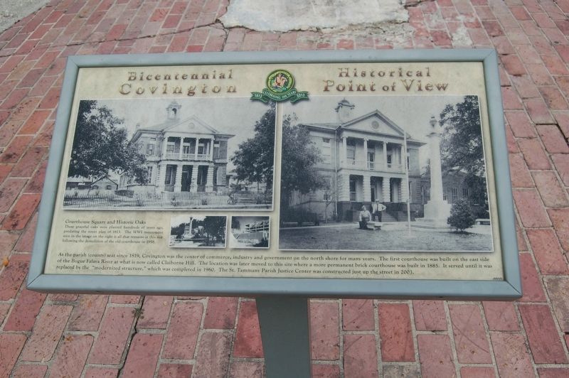
Courthouse Square and Historic Oaks
Courthouse Square and Historic Oaks
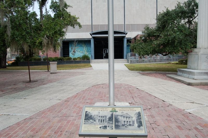
These graceful oaks were planted hundreds of years ago, predating the street plan of 1813. The WWI monument seen in the image on the right is all that remains at this site following the demolition of the old courthouse in 1958.
As the parish (county) seat since 1819, Covington was the center of commerce, industry and government on the north shore for many years. The first courthouse was built on the east side of the Bogue Falava River at what is now called Claiborne Hill. The location was later moved to this site where a more permanent brick courthouse was built in 1885. It served until it was replaced by the "modernized structure" which was completed in 1960. The St. Tammany Parish Justice Center was constructed just up the street in 2003.
Erected 2013 by City of Covington.
Topics. This historical marker is listed in this topic list: Government & Politics.
Location. 30° 28.539′ N, 90° 5.723′ W. Marker is in Covington, Louisiana, in St. Tammany Parish. Marker is on East Boston Street (State Highway 21) east of North New Hampshire Street, on the right when traveling west. Touch for map. Marker is at or near this postal address: 510 East Boston Street, Covington LA 70433, United States of America. Touch for directions.
Other nearby markers. At least 8 other markers are within walking distance of this marker. The Southern Hotel (within shouting distance of this marker); The Covington Bank and Trust Building (about 300 feet away, measured in a direct line); H.J. Smith and Sons Hardware and Museum (about 300 feet away); Columbia Street (about 400 feet away); Reconstruction Period (about 400 feet away); Public "Ox Lot" Parking (about 600 feet away); Columbia Street Landing (about 700 feet away); Ronald Wilson Reagan (about 700 feet away). Touch for a list and map of all markers in Covington.
Credits. This page was last revised on August 26, 2022. It was originally submitted on December 25, 2016, by Cajun Scrambler of Assumption, Louisiana. This page has been viewed 518 times since then and 22 times this year. Photos: 1, 2. submitted on December 25, 2016.

