Southwest Waterfront in Southwest Washington in Washington, District of Columbia — The American Northeast (Mid-Atlantic)
Wheat Row
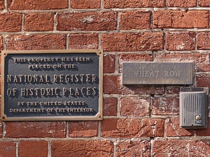
Photographed By Allen C. Browne, November 5, 2016
1. Wheat Row
National Register of Historic Places nomination form
(Submitted on January 18, 2017, by Allen C. Browne of Silver Spring, Maryland.)
Click for more information.
(Submitted on January 18, 2017, by Allen C. Browne of Silver Spring, Maryland.)
Click for more information.
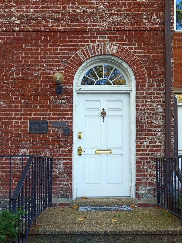
placed on the
National Register
of Historic Places
by the United States
Department of Agriculture
Topics. This historical marker is listed in this topic list: Notable Buildings.
Location. 38° 52.443′ N, 77° 1.065′ W. Marker is in Southwest Washington in Washington, District of Columbia. It is in Southwest Waterfront. Marker is on 4th Street Southwest south of N Street Southwest, on the right when traveling south. Touch for map. Marker is at or near this postal address: 1315 4th Street Southwest, Washington DC 20024, United States of America. Touch for directions.
Other nearby markers. At least 8 other markers are within walking distance of this marker. Harbour Square (within shouting distance of this marker); Lewis House (within shouting distance of this marker); Blending Old and New (about 300 feet away, measured in a direct line); Barney House (about 300 feet away); Linking the "Island" to the City (about 400 feet away); Recreation and River Park (about 600 feet away); Suggs Plaza (about 600 feet away); Military Education at Fort McNair (about 700 feet away). Touch for a list and map of all markers in Southwest Washington.
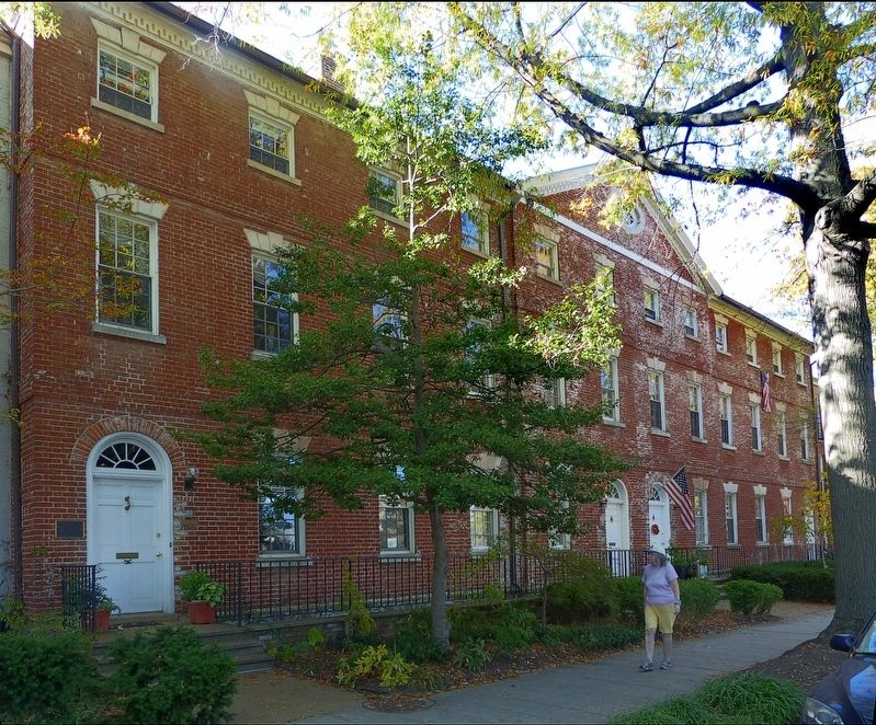
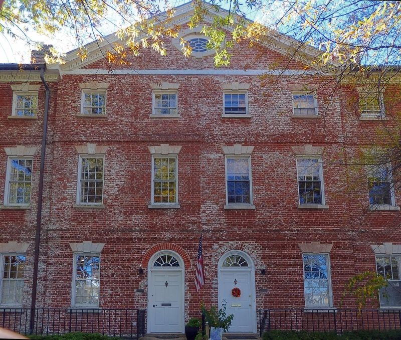
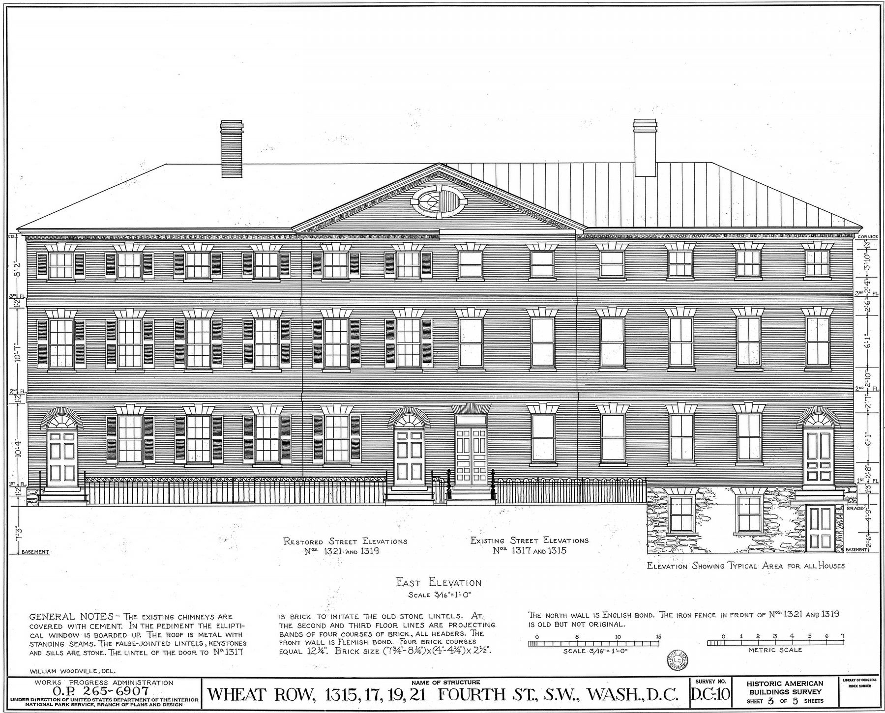
Regarding Wheat Row. Wheat Row comprises 1315-1321 4th Street Southwest in Southwest Washington. Built around 1794 and attributed to architect William Lovering, Wheat Row is named after John Wheat who lived at 1315 as early at 1819. Today along with Lewis House and Barney House these four row houses are part of Chloethiel Woodard's Harbour Square Development having survived urban renewal in the 1960s.
Credits. This page was last revised on January 30, 2023. It was originally submitted on January 18, 2017, by Allen C. Browne of Silver Spring, Maryland. This page has been viewed 1,220 times since then and 99 times this year. Photos: 1, 2, 3, 4, 5. submitted on January 18, 2017, by Allen C. Browne of Silver Spring, Maryland. • Bill Pfingsten was the editor who published this page.
