Richville in Tuscola County, Michigan — The American Midwest (Great Lakes)
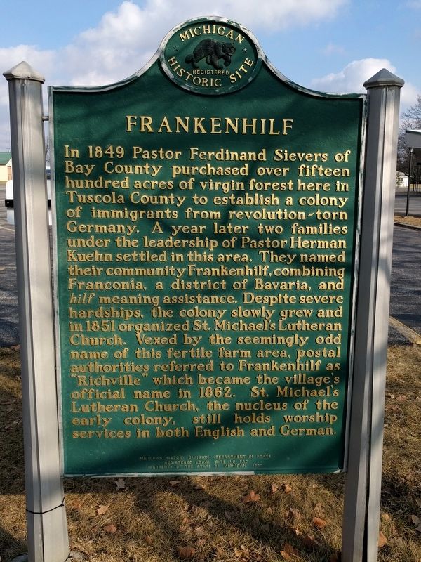
Frankenhilf
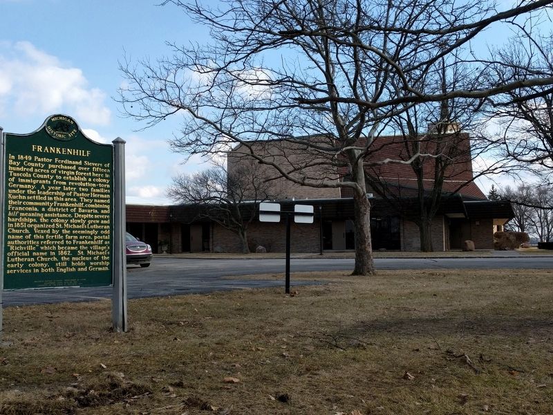
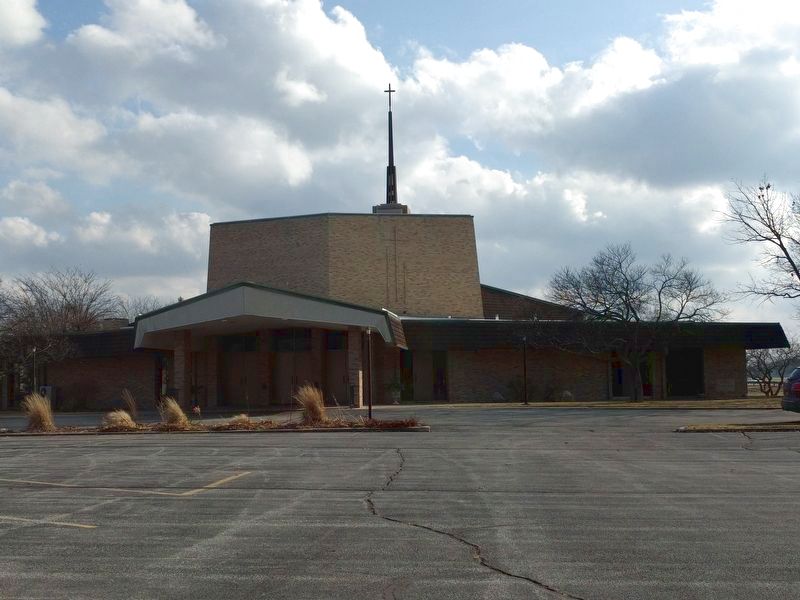
In 1849 Pastor Ferdinand Sievers of Bay County purchased over fifteen hundred acres of virgin forest here in Tuscola County to establish a colony of immigrants from revolution-torn Germany. A year later two families under the leadership of Pastor Herman Kuehn settled in this area. They named their community Frankenhilf, combining Franconia, a district of Bavaria, and hilf meaning assistance. Despite severe hardships, the colony slowly grew and in 1851 organized St. Michael's Lutheran Church. Vexed by the seemingly odd name of the fertile farm area, postal authorities referred to Frankenhilf as "Richville" which became the village's official name in 1862. St. Michael's Lutheran Church, the nucleus of the early colony, still holds worship services in both English and German.
Erected 1977. (Marker Number L540.)
Topics and series. This historical marker is listed in these topic lists: Churches & Religion • Settlements & Settlers. In addition, it is included in the Michigan Historical Commission series list. A significant historical year for this entry is 1849.
Location. 43° 24.514′ N, 83° 40.768′ W. Marker is in Richville, Michigan, in Tuscola County. Marker is at the intersection of South Van Buren Road and Sanilac Road (Route 46), on the right when traveling north on South Van Buren Road. Marker is also 0.1 mile south of West Saginaw Road (Route 15). Touch for map. Marker is at or near this postal address: 3455 South Van Buren Road, Richville MI 48758, United States of America. Touch for directions.
Other nearby markers. At least 8 other markers are within 7 miles of this marker, measured as the crow flies. The Bavarian Colony of Frankenhilf (within shouting distance of this marker); Vassar's Logging Era (approx. 5.6 miles away); A Rich History, A Precious Resource (approx. 6.1 miles away); Star of the West Milling Company (approx. 6.1 miles away); Marv Herzog Fest Platz (approx. 6.2 miles away); Michigan's Oldest Woolen Mill (approx. 6.3 miles away); Frankenmuth Woolen Mill (approx. 6.3 miles away); Rau's Country Store Recalls Bygone Era (approx. 6.4 miles away).
Also see . . . Frankenhilf History. Bavarian Inn website entry (Submitted on February 25, 2017, by Joel Seewald of Madison Heights, Michigan.)
Credits. This page was last revised on February 20, 2022. It was originally submitted on February 25, 2017, by Joel Seewald of Madison Heights, Michigan. This page has been viewed 829 times since then and 107 times this year. Photos: 1, 2, 3. submitted on February 25, 2017, by Joel Seewald of Madison Heights, Michigan.
Editor’s want-list for this marker. View of the church from Sanilac Road (M-46). • Can you help?


