Desert View Village in Phoenix in Maricopa County, Arizona — The American Mountains (Southwest)
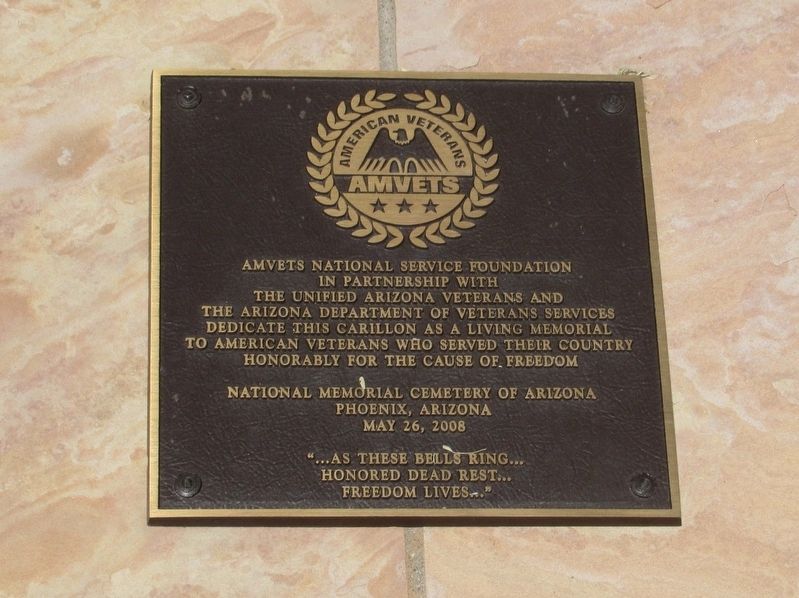
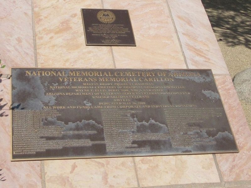
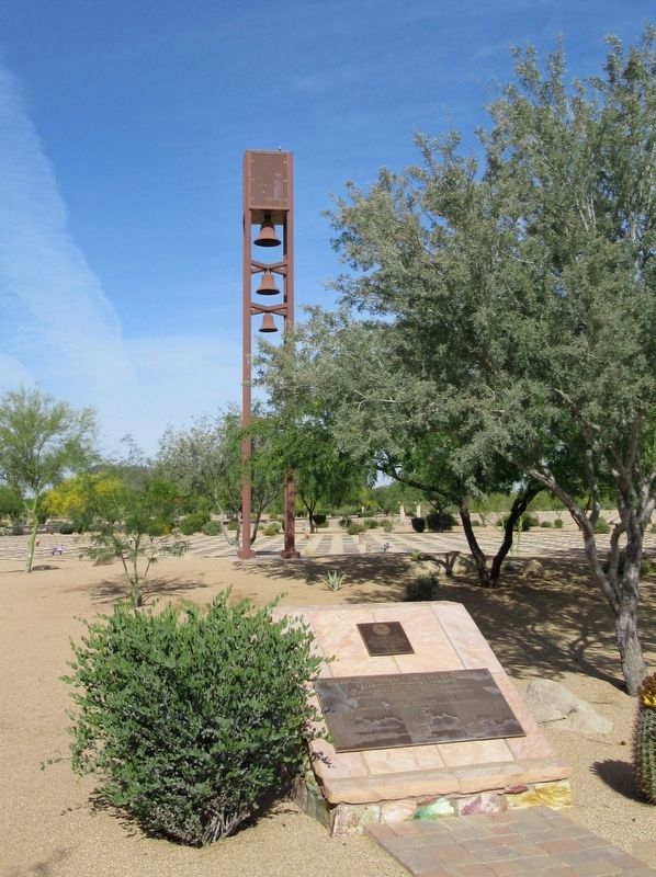
Veterans Memorial Carillon
National Memorial Cemetery of Arizona
In Partnership With
The Unified Arizona Veterans And
The Arizona Department Of Veterans Services
Dedicate This Carillon As A Living Memorial
To American Veterans Who Served Their Country
Honorably For The Cause Of Freedom
National Memorial Cemetery Of Arizona
Phoenix, Arizona
May 26, 2008
“… As These Bells Ring…
Honored Dead Rest…
Freedom Loves…”
Erected 2008.
Topics and series. This memorial is listed in this topic list: Military. In addition, it is included in the National Cemeteries series list.
Location. 33° 41.717′ N, 112° 1.168′ W. Marker is in Phoenix, Arizona, in Maricopa County. It is in Desert View Village. Memorial is at the intersection of E. Pinnacle Peak Road and Cave Creek Road, on the left when traveling west on E. Pinnacle Peak Road. Located in the National Memorial Cemetery of Arizona. Touch for map. Marker is at or near this postal address: 23029 N Cave Creek Road, Phoenix AZ 85024, United States of America. Touch for directions.
Other nearby markers. At least 8 other markers are within 12 miles of this marker, measured as the crow flies. Unidentified Veterans (within shouting distance of this marker); National Memorial Cemetery of Arizona (about 300 feet away, measured in a direct line); The Spire (approx. 6.8 miles away); Frank Lloyd Wright and Arizona (approx. 6.8 miles away); The Original Site of the Desert Mission (approx. 9.1 miles away); St. Paul's M.E. Church (approx. 11.3 miles away); Chief Washakie (approx. 11.6 miles away); Taliesin West (approx. 11.7 miles away). Touch for a list and map of all markers in Phoenix.
Credits. This page was last revised on February 2, 2023. It was originally submitted on April 20, 2017, by Michael Herrick of Southbury, Connecticut. This page has been viewed 338 times since then and 22 times this year. Photos: 1, 2, 3. submitted on April 20, 2017, by Michael Herrick of Southbury, Connecticut.


