Gwynns Falls Trail
Leon Day Park at Franklintown Road
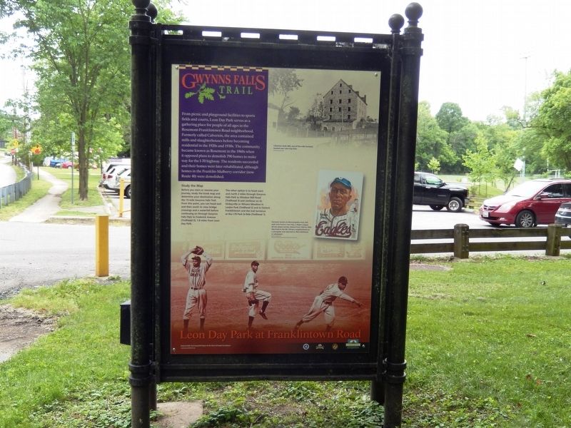
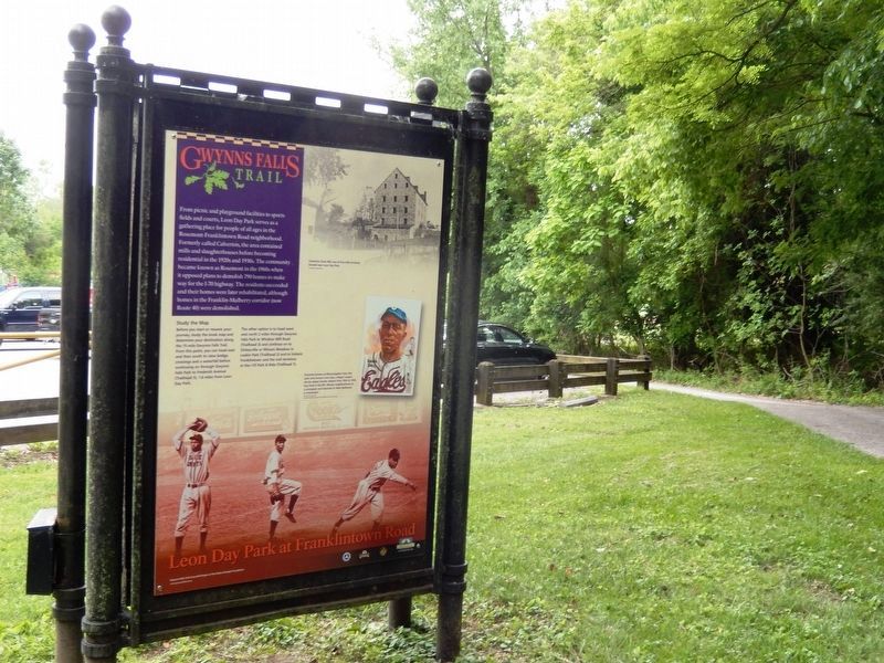
From picnic and playground facilities to sports fields and courts, Leon Day Park serves as a gathering place for people of all ages in the Rosemont-Franklintown Road neighborhood. Formerly called Calverton, the area contained mills and slaughterhouses before becoming residential in the 1920s and 1930s. The community became known as Rosemont in the 1960s when it opposed plans to demolish 790 homes to make way for the I-70 highway. The residents succeeded and their homes were later rehabilitated, although homes in the Franklin-Mulberry corridor (now Route 40) were demolished.
Study the Map
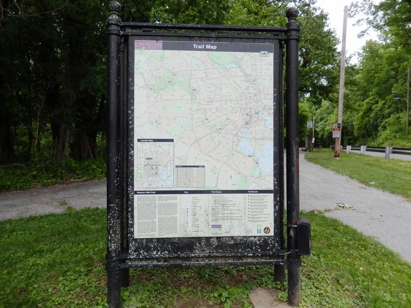
Before you start or resume your journey, study the kiosk map and determine your destination along the 15-mile Gwynns Falls Trail. From this point, you can head east and then south to view bridge crossings and a waterfall before continuing on through Gwynns Falls Park to Frederick Avenue (Trailhead 5), 1.8 miles from Leon Day Park.
The other option is to head west and north 2 miles through Gwynns Falls Park to Windsor Mill Road (Trailhead 3) and continue on to Dickeyville or Winans Meadow in Leakin Park (Trailhead 2) and to historic Franklintown and the trail terminus at the I-70 Park and Ride (Trailhead 1).
(Inscription under the image in the upper right)
Calverton Grain Mill, one of five mills formerly located near
(Inscription beside the image on the bottom right)
Formerly known as Bloomingdale Oval, this park honors Leon Day, a Negro League all-star player (center, below) from 1934 to 1950. Day lived in the Mt. Winans neighborhood as a youngster and returned to West Baltimore in retirement.
Erected by Gwynns Falls Trail Council/A Project of the Parks and People Foundation.
Topics. This historical marker is listed in these topic lists: African Americans • Sports. A significant historical year for this entry is 1934.
Location. 39° 18.008′ N, 76° 40.315′ W. Marker is in Baltimore, Maryland. It is in Gwynns Falls/Leakin Park. Marker is on North Franklintown Road. The marker is near the entrance to the Leon Day Park parking lot. Touch for map. Marker is at or near this postal address: 1242 N Franklintown Rd, Baltimore MD 21216, United States of America. Touch for directions.
Other nearby markers. At least 8 other markers are within 2 miles of this marker, measured as the crow flies. Leon Day Park (about 400 feet away, measured in a direct line); Memorial to John E. Burbage (approx. half a mile away); Bridging Gwynns Falls (approx. 0.9 miles away); Early Transportation Routes (approx. one mile away); Gwynns Falls Park at Windsor Mill Road (approx. 1.2 miles away); An Old Mill Stream (approx. 1.2 miles away);
Credits. This page was last revised on February 17, 2021. It was originally submitted on May 27, 2017, by Don Morfe of Baltimore, Maryland. This page has been viewed 218 times since then and 9 times this year. Photos: 1, 2, 3. submitted on May 27, 2017, by Don Morfe of Baltimore, Maryland. • Bill Pfingsten was the editor who published this page.


