Downtown in Louisville in Jefferson County, Kentucky — The American South (East South Central)
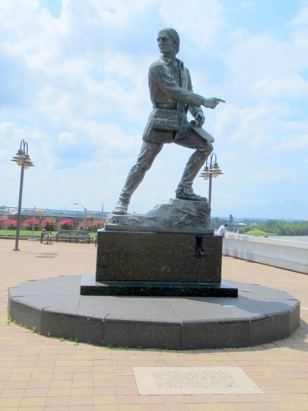
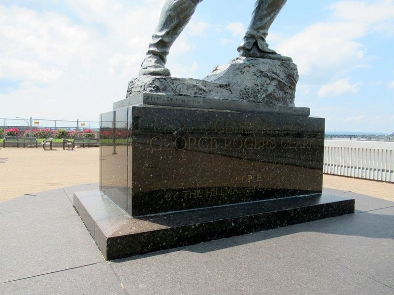
General George Rogers Clark
by
Felix W. de Weldon
A Gift to the People of Louisville
by the Hillman-Hopkins Family
( inscribed in the stones on the terrace )
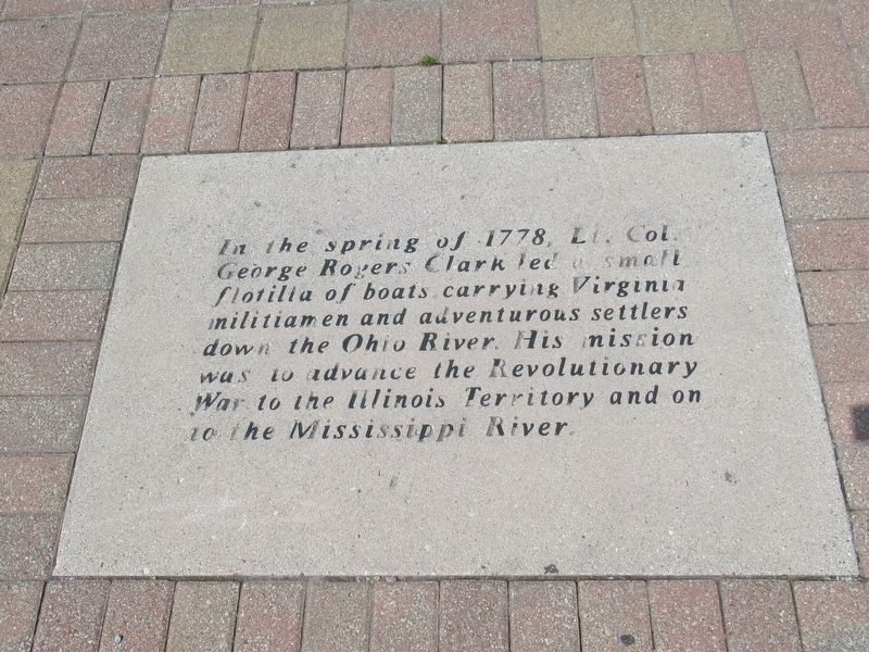
In the spring of 1778, Lt. Col. George Rogers Clark led a small flotilla of boats carrying Virginia militiamen and adventerous settlers down the Ohio River. His mission was to advance the Revolutionary War to the Illinois Territory and on to the Mississippi River.
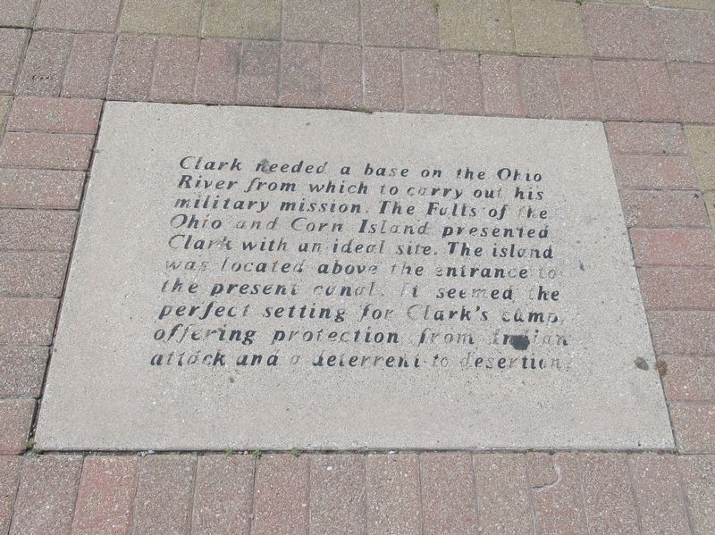
Clark needed a base on the Ohio River from which to carry out his military mission. The Falls of the Ohio and Corn Island presented Clark with an ideal site. The island was located above the entrance to the present canal. It seemed the perfect setting for Clark’s camp, offering protection from Indian attack and a deterrent to desertions.
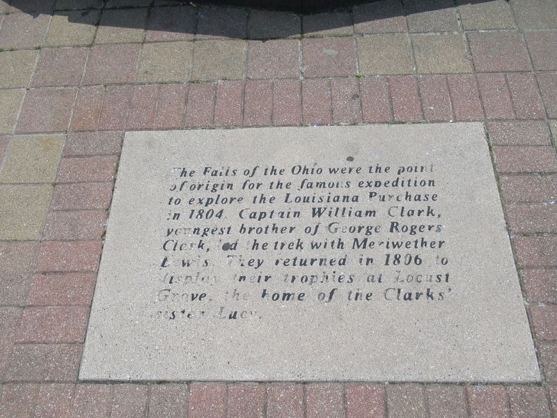
The Falls of the Ohio were the point of origin for the famous expedition to explore the Louisiana Purchase in 1804. Captain William Clark, youngest brother of George Rogers Clark, led the trek with Meriwether Lewis. They returned in 1806 to display their trophies at Locust Grove, the home of the Clark’s sister Lucy.
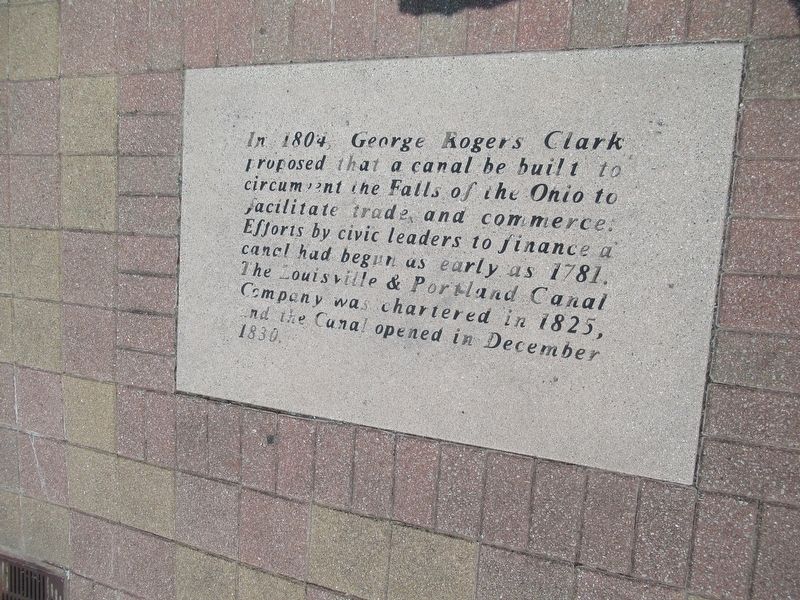
In 1804, George Rogers Clark proposed that a canal be built to circumvent the Falls of the Ohio to facilitate trade and commerce. Efforts by civic leaders to finance a canal had begun as early as 1781. The Louisville & Portland Canal Company was chartered in 1825, and the Canal opened in December 1830.
Erected 1973 by the Hillman-Hopkins Family.
Topics. This historical marker is listed in these topic lists: Industry & Commerce • War, US Revolutionary.
Location. 38° 15.544′ N, 85° 45.468′ W. Marker is in Louisville, Kentucky, in Jefferson County. It is in Downtown. Marker is at the intersection of W Main Street and Place Montpellier, on the right when traveling west on W Main Street. Located in Belvedere Waterfront Park between The Kentucky Center for the Performing Arts and the Ohio River. (On the map, the I-64 is under the park). Touch for map. Marker is in this post office area: Louisville KY 40202, United States of America. Touch for directions.
Other nearby markers. At least 8 other markers are within walking distance of this marker. York (within shouting distance of this marker); Louisville Wharf During The Civil War Years (about 400 feet away, measured in a direct line); William Clark (1770-1838) / Lewis And Clark In Kentucky Louisville (about 500 feet away); Irene Dunne (1898-1990) (about 500 feet away); Al J. Schneider (about 500 feet away); Lewis and Clark in Kentucky / York (about 500 feet away); Belle of Louisville (about 700 feet away); Captain John F. Gilooly (about 700 feet away). Touch for a list and map of all markers in Louisville.
Also see . . . George Rogers Clark on Wikipedia. (Submitted on June 10, 2017, by Michael Herrick of Southbury, Connecticut.)
Credits. This page was last revised on February 12, 2023. It was originally submitted on June 10, 2017, by Michael Herrick of Southbury, Connecticut. This page has been viewed 436 times since then and 26 times this year. Photos: 1, 2, 3, 4, 5, 6. submitted on June 10, 2017, by Michael Herrick of Southbury, Connecticut.
