Orchard Lake in Oakland County, Michigan — The American Midwest (Great Lakes)
Waiting for the Trolleys
and Riding Between the Lakes
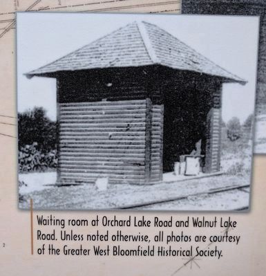
The trolleys made it easy to travel
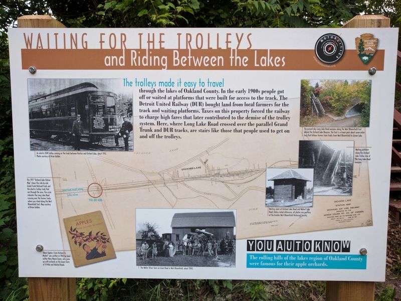
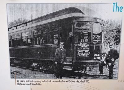
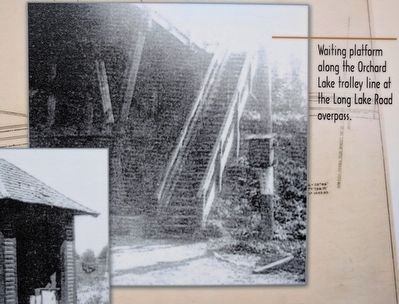
through the lakes of Oakland County. In the early 1900s people got off or waited at platforms that were built for access to the track. The Detroit United Railway (DUR) bought land from local farmers for the track and waiting platforms. Taxes on this property forced the railway to charge high fares that later contributed to the demise of the trolley system. Here, where Long Lake Road crossed over the parallel Grand Trunk and DUR tracks, are stairs like those that people used to get on and off the trolleys.
You Auto Know
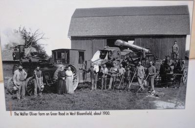
The rolling hills of the lakes region of Oakland County were famous for their apple orchards.
Erected by MotorCities National Heritage Area, National Park Service.
Topics and series. This historical marker is listed in this topic list: Railroads & Streetcars. In addition, it is included in the MotorCities National Heritage Area series list.
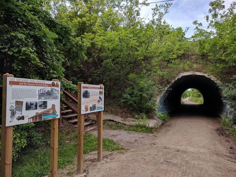
Location. 42° 34.965′ N, 83° 21.462′ W. Marker is in Orchard Lake, Michigan, in Oakland County. Marker can be reached from West Bloomfield Trail. Marker is on the West Bloomfield Trail, a bicycling/hiking trail, about 50 feet south of the Long Lake Road overpass. The West Bloomfield Trail crosses Orchard Lake Road 0.3 miles to the north and 0.5 miles to the south. Touch for map. Marker is in this post office area: West Bloomfield MI 48323, United States of America. Touch for directions.
Other nearby markers. At least 8 other markers are within walking distance of this marker. The Orchard Lake Museum (here, next to this marker); Drawn by Water (about 400 feet away, measured in a direct line); Green School Bell (about 500 feet away); Conglomerate Boulder (about 500 feet away); Apple Island (about 500 feet away); Chief Pontiac (approx. ¼ mile away); a different marker also named Apple Island (approx. ¼ mile away); Gateway to Nature (approx. 0.3 miles away). Touch for a list and map of all markers in Orchard Lake.
Photographed By Joel Seewald, July 2, 2017
3. Middle Left Image Detail
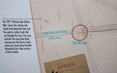
This 1917 "Orchard Lake Station Map" shows the side-by-side Grand Trunk Railroad track and the electric trolley track that ran through the area. The circle indicates the Long Lake Road crossing over the former tracks where you stand along the West Bloomfield Trail. Map courtesy of Brian Golden.
Credits. This page was last revised on September 6, 2020. It was originally submitted on July 5, 2017, by Joel Seewald of Madison Heights, Michigan. This page has been viewed 259 times since then and 36 times this year. Photos: 1, 2, 3, 4, 5, 6, 7, 8, 9. submitted on July 5, 2017, by Joel Seewald of Madison Heights, Michigan.
