Lower East Side in Manhattan in New York County, New York — The American Northeast (Mid-Atlantic)
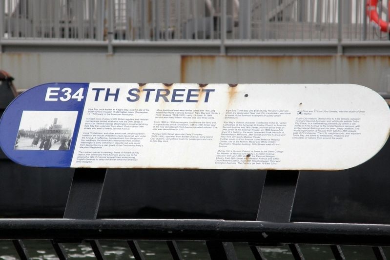
E34th Street
A mixed force of about 4,000 British regulars and Hessian mercenaries landed at what is now the 34th Street in pursuit of General George Washington’s Continental Army. Kips Bay then extended from about 32nd to about 38th streets and west to nearly Second Avenue.
Using 75 flatboats, and other small craft, which had been hidden at the mouth of Newton Creek (Queens), and under the furious, if ineffective, bombardment from the guns of four warships, the Americans abandoned their position. Washington’s army withdrew in disorder but was saved from destruction by a rear guard of the Continental Army’s Maryland Regiments.
The invaders seized Inclenberg, home of Robert Murray (about 37th Street and Park Avenue), giving rise to the apocryphal tale of Colonial sympathizers entertaining English generals to delay the British while the American Army escaped.
More traditional east-west ferries came with the Long Island Rail Road’s service between Kips Bay and Hunter’s Point, Queens (1859-1925), using 19 boats. In 1866 service was every fifteen minutes and cost three cents.
From 1880 to 1930 passengers could leave the ferry and, in a practically direct connection, walk to 34th Street spur of the now demolished Third Avenue elevated railroad. The spur was demolished in 1931.
The East 34th Street Vehicular Ferry Company (1927-1936), operated from Borden Avenue, long Island City, Queens, using three boats for passengers and cars, to Kips Bay dock.
Kips Bay, Turtle Bay, and both Murray Hill and Tudor City, which are designated New York City Landmarks, are home to some of the foremost examples of quality urban architecture.
Kips Bay’s diverse character is reflected in the Saint Vartan Cathedrals of the Armenian Orthodox Church in America, Second Avenue and 34th Street; and half block west of 34th Street is the Estonian House, an 1889 Beaux Arts jewel of a building; the world renowned Rusk Institute of Rehabilitation Medicine, 34th Street and First Avenue and New York University Medical Center.
Further south on First Avenue is the Bellevue Hospital center, site of the McKim, Mead and White (1908) Psychiatric Hospital building, 30th Streets east of First Avenue.
Murray Hill, a Historic District, is home to the Stern College for Women of Yeshiva University, Lexington Avenue between 34th and 35th streets, the Pierpont Morgan Library, East 36th Street and Madison Avenue and Siffen Court Historic District, East 36th Street between Third and Lexington Avenues. The factory, (at both 19 East 32nd Street and 22nd
and 22 East 33rd Streets) was the studio of artist Andy Warhol.
Tudor City Historic District 41st to 43rd Streets, between First and Second Avenues, and which sits astride Tudor City Place, is a trailbreaking planned city within a city. North on First Avenue is the United nations campus, with its Secretariat Building and the later Library addition. The world organization is housed from 42nd to 48th streets, east of First Avenue. The U.N. neighborhood, and adjacent Turtle Bay, are home to embassies, missions and consulates of nations from around the world.
Topics. This historical marker is listed in these topic lists: Landmarks • War, US Revolutionary.
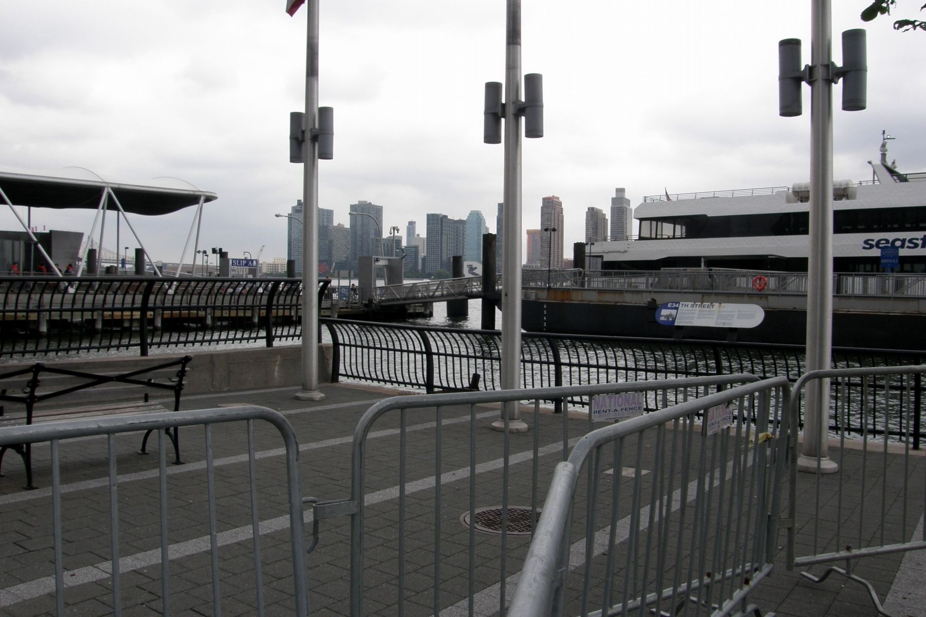
Location. 40° 44.621′ N, 73° 58.278′ W. Marker is in Manhattan, New York, in New York County. It is in the Lower East Side. Marker can be reached from the intersection of East River Esplanade and East 35th Street. Touch for map. Marker is in this post office area: New York NY 10016, United States of America. Touch for directions.
Other nearby markers. At least 8 other markers are within walking distance of this marker. Murray Hill WWI Memorial (about 700 feet away, measured in a direct line); Father Damien (approx. 0.2 miles away); Migrations (approx. ¼ mile away); Trygve Lie Plaza (approx. 0.3 miles away); ACS Children's Center (approx. 0.3 miles away); First Avenue Underpass (approx. 0.3 miles away); Trygve Halvdan Lie (approx. 0.4 miles away); Bayard Rustin (approx. 0.4 miles away). Touch for a list and map of all markers in Manhattan.
Credits. This page was last revised on January 31, 2023. It was originally submitted on July 31, 2017, by Larry Gertner of New York, New York. This page has been viewed 376 times since then and 43 times this year. Photos: 1, 2. submitted on July 31, 2017, by Larry Gertner of New York, New York. • Bill Pfingsten was the editor who published this page.

