Plymouth in Plymouth County, Massachusetts — The American Northeast (New England)
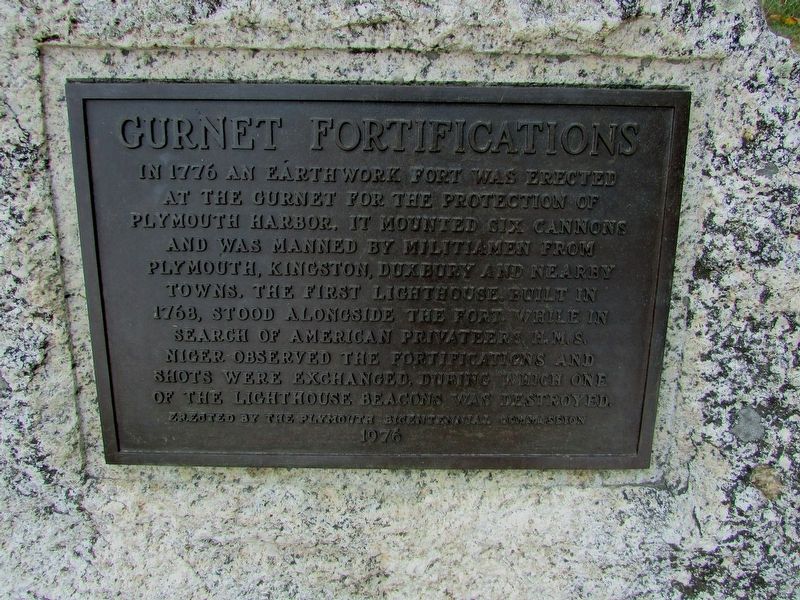
Gurnet Fortifications
Erected by the Plymouth Bicentennial Commission
1976
Erected 1976 by Plymouth Bicentennial Commission.
Topics and series. This historical marker is listed in this topic list: War, US Revolutionary. In addition, it is included in the Lighthouses series list.
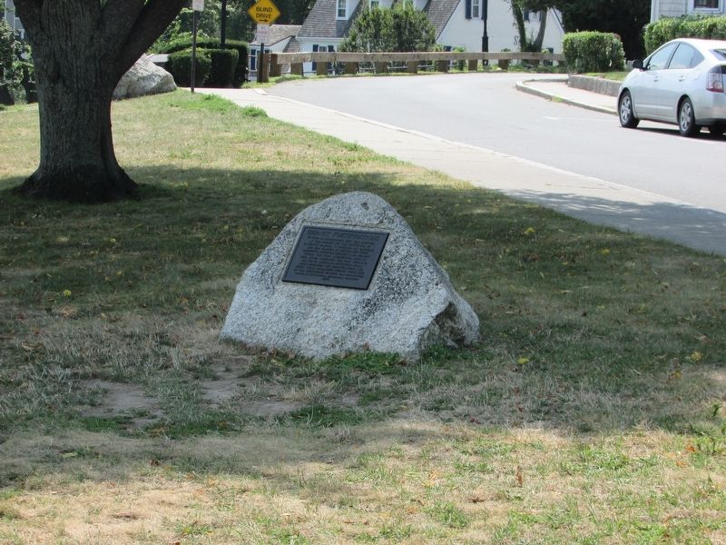
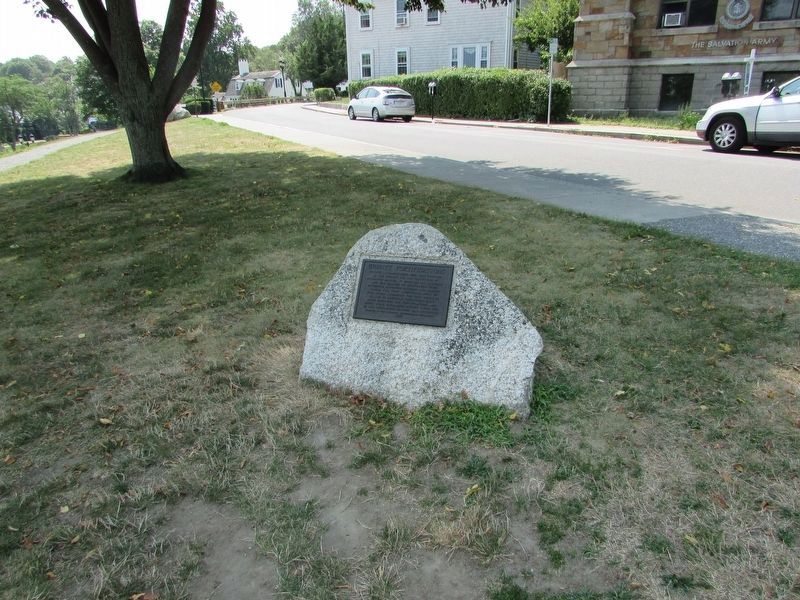
Location. 41° 57.427′ N, 70° 39.744′ W. Marker is in Plymouth, Massachusetts, in Plymouth County. Marker is on Carver Street, on the left when traveling south. Marker is located on Cole's Hill. Touch for map. Marker is in this post office area: Plymouth MA 02360, United States of America. Touch for directions.
Other nearby markers. At least 8 other markers are within walking distance of this marker. First Burying Ground of Mayflower Passengers (within shouting distance of this marker); Coles Hill (within shouting distance of this marker); a different marker also named Cole’s Hill (within shouting distance of this marker); National Day of Mourning (within shouting distance of this marker); Plymouth Waterfront (within shouting distance of this marker); House of Isaac Doten (within shouting distance of this marker); William Bradford (about 300 feet away, measured in a direct line); James Cole (about 300 feet away). Touch for a list and map of all markers in Plymouth.
Credits. This page was last revised on August 25, 2017. It was originally submitted on August 25, 2017, by Bill Coughlin of Woodland Park, New Jersey. This page has been viewed 359 times since then and 27 times this year. Photos: 1, 2, 3. submitted on August 25, 2017, by Bill Coughlin of Woodland Park, New Jersey.


