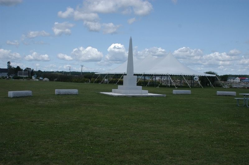
Rye in Rockingham County, New Hampshire — The American Northeast (New England)
New Isles of Shoals Marker
Inscription.
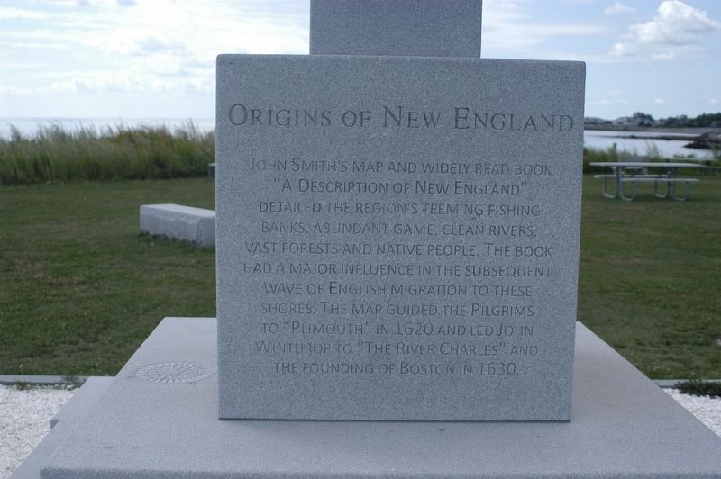
Origins of New England
John Smith’s map and widely read book “A Description of New England” detailed the region’s teeming fishing banks, abundant game, clean rivers, vast forests and native people. The book had a major influence in the subsequent wave of English migration to these shores. The map guided the Pilgrims to “Plimouth” in 1620 and led John Winthrop to the “River Charles” and the founding of Boston in 1630.
New Hampshire Granite Swenson Granite Works
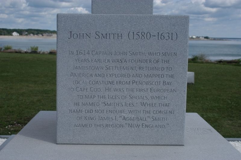
John Smith
John Smith (1580-1631) In 1614 Captain John Smith, who seven years earlier was a founder of the Jamestown settlement returned to America and explored and marked the local coastline from Penobscot Bay to Cape Cod. He was the first European voyager from England to map the Isles of Shoals, which he named “Smith’s Isles.” While that name did not endure, with the consent of King James, I. “Admiral” Smith named this region “New England”
Dedicated August 14, 2014
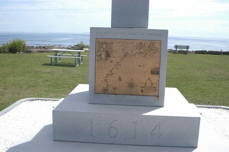
Map from Capt. John Smith’s 1614 Expedition
Compass Rose from John Smith’s map
1614 below
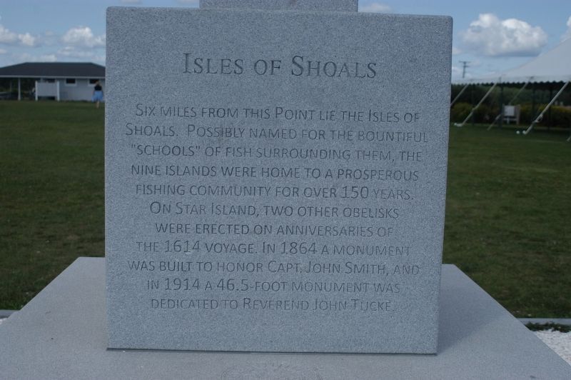
Isles of Shoals
Six miles from this point lie the Isles of Shoals. Possibly named for the bountiful “schools” of fish surrounding them. The nine islands were home to a prosperous fishing community for over 150 years. On Star Island, two other obelisks were erected on anniversaries of the 1614 voyage. In 1864 a monument was built to honor Capt. John Smith, and in 1914 a 46.5 foot monument was dedicated to Reverend John Tucke.
Erected 2014 by Swenson Granite Works.
Topics. This historical marker is listed in these topic lists: Exploration • Settlements & Settlers. A significant historical year for this entry is 1614.
Location. 43° 0.083′ N, 70° 44.604′ W. Marker is in Rye, New Hampshire, in Rockingham County. Marker is on Ocean Boulevard (U.S. A1A) when traveling east. Marker is located at Rye Harbor State Park beyond the existing Isles of Shoals marker. Touch for map. Marker is at or near this postal address: 1730 Ocean Blvd, Rye NH 03870, United States of America. Touch for directions.
Other nearby markers. At least 8 other markers are within 5 miles of this marker, measured as the crow flies. Isles Of Shoals (within shouting distance of this marker); Atlantic Cable Station and Sunken Forest (approx. one mile away); Rye NH War Memorial (approx. 1.7 miles away); Key Facts about Pulpit Rock Tower (approx. 2˝ miles away); Pulpit Rock Fire Control Tower (approx. 2˝ miles away); Portsmouth NH World War II Marker (approx. 5 miles away); William and Mary Raids
(approx. 5 miles away); New Castle Congregational Church (approx. 5 miles away). Touch for a list and map of all markers in Rye.
Credits. This page was last revised on January 29, 2021. It was originally submitted on August 25, 2017, by James R. Murray of Elkton, Florida. This page has been viewed 165 times since then and 13 times this year. Last updated on January 23, 2021, by Bradley Owen of Morgantown, West Virginia. Photos: 1, 2, 3, 4, 5. submitted on August 25, 2017, by James R. Murray of Elkton, Florida. • Bill Pfingsten was the editor who published this page.
