Brooklet in Bulloch County, Georgia — The American South (South Atlantic)
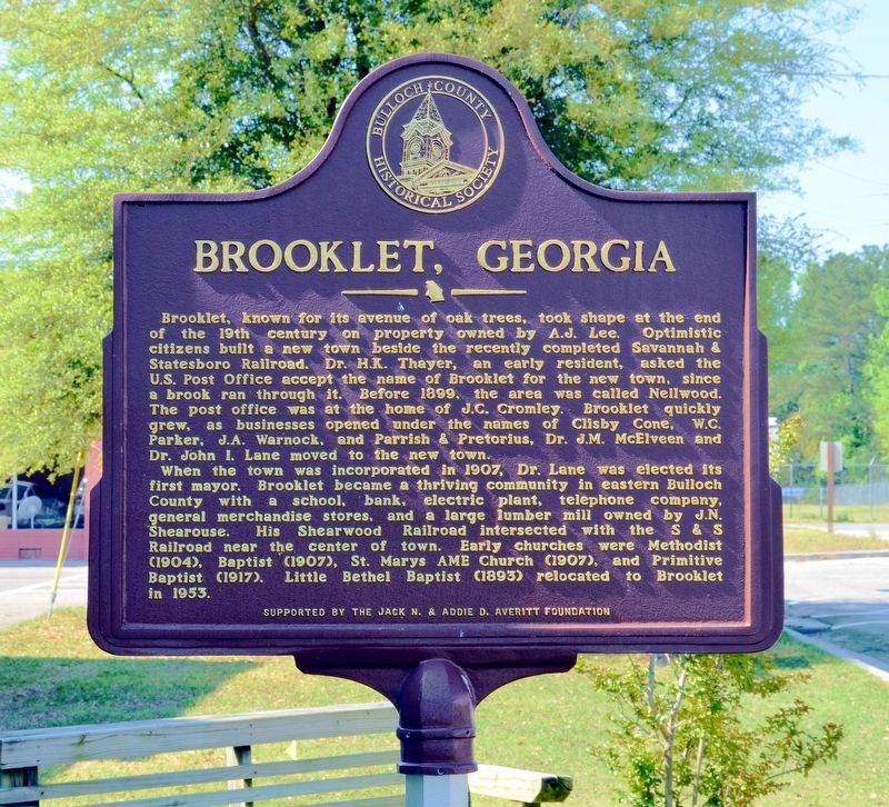
Brooklet, Georgia
When the town was incorporated in 1907, Dr. Lane was elected its first Mayor. Brooklet became a thriving community in eastern Bulloch County with a school, bank, electric plant, telephone company, general merchandise stores, and a large lumber mill owned by J.N. Shearouse. His Shearouse Railroad intersected with the S & S Railroad near the center of town. Early churches were Methodist (1904), Baptist (1907), St. Marys AME Church (1907), and Primitive Baptist (1917). Little Bethel Baptist (1893) relocated to Brooklet in 1953.
Erected by The Bulloch County Historical Society, sponsored by the Jack N. & Addie D. Averitt Foundation.
Topics and series. This historical marker is listed in this topic list: Settlements & Settlers. In addition, it is included in the African Methodist Episcopal (AME) Church, and the Postal Mail and Philately series lists.
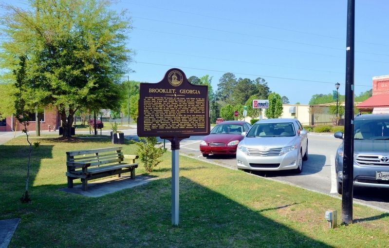
Location. 32° 22.783′ N, 81° 39.767′ W. Marker is in Brooklet, Georgia, in Bulloch County. Marker is at the intersection of Parker Avenue and East Lee Street, on the left when traveling south on Parker Avenue. The marker is actually located on North Parker Street less than 100 feet north of East Lee Street. Touch for map. Marker is at or near this postal address: 110 N Parker Avenue, Brooklet GA 30415, United States of America. Touch for directions.
Other nearby markers. At least 8 other markers are within 8 miles of this marker, measured as the crow flies. Burkhalter Road & Old Indian Trail (approx. 3.9 miles away); John Abbot (1751-1839) (approx. 5.2 miles away); Kiwanis Ogeechee Fair / Kiwanis Club of Statesboro (approx. 5.4 miles away); John Abbot 1751 - 1840 (approx. 5.6 miles away); Middleground Church Primitive Baptist (approx. 5.7 miles away); Upper Black Creek Church (approx. 5.9 miles away); Upper Black Creek Primitive Baptist Church (approx. 5.9 miles away); Savannah & Statesboro Railway (approx. 7.2 miles away). Touch for a list and map of all markers in Brooklet.
Credits. This page was last revised on September 2, 2017. It was originally submitted on September 2, 2017, by David Seibert of Sandy Springs, Georgia. This page has been viewed 773 times since then and 60 times this year. Photos: 1, 2, 3. submitted on September 2, 2017, by David Seibert of Sandy Springs, Georgia.


