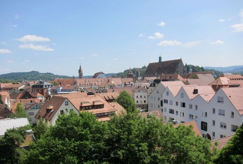
Schwäbisch Gmünd in Ostalbkreis, Baden-Württemberg, Germany — Central Europe
Fünfknopfturm / Five-points Tower
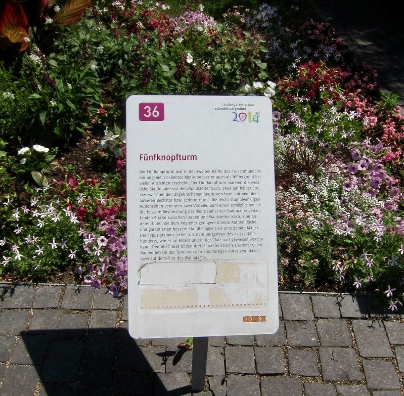
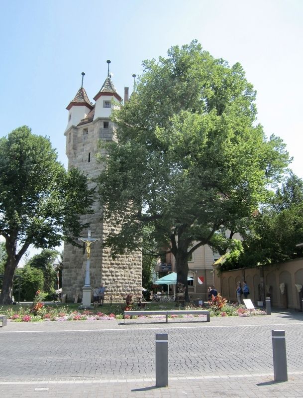
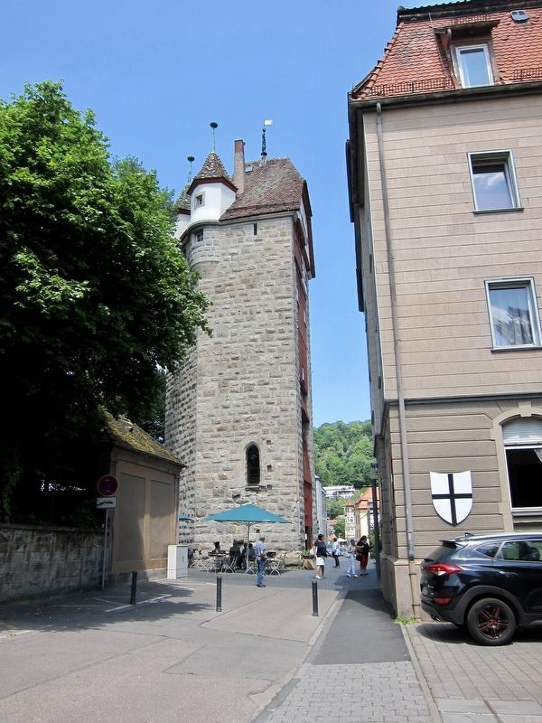
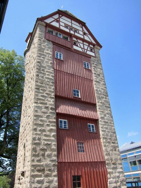
The "Five-points" (lit. five-button) tower was an extremely popular pictorial motif in the second half of the 19th century, as it appears as the backdrop for many views. The Five-points tower marks the western city wall in front of the Waldstetter Brook, halfway between the dismantled city gates and towers, the outer Bocks Gate and Ledertor Tower. The slightly obtuse-angled outer sides of the tower combined two advantages: on the one hand, they made possible a better laying of the road parallel to the city wall between the Graben (moat, now filled in) and Waldstetter Brook, and on the other hand they offered the attacker a smaller direct impact surface and guaranteed more stability than a straight wall. This type of tower originated from the castle building of the 12th-13th Century, as can be found in Alsace and the Palatinate (Rhineland). Finally, the tower was dominated by button- or knob-like attachments, two of them on the ridge of the hipped roof.
Erected 2014 by Landesgartenschau Schwäbisch Gmünd. (Marker Number 36.)
Topics. This historical marker is listed in this topic list: Forts and Castles.
Location. 48° 47.968′ N, 9° 47.532′ E. Marker is in Schwäbisch Gmünd, Baden-Württemberg, in Ostalbkreis. Marker is on Robert-von-Ostertag-Straße just south of Bahnhofstrasse, on the left when traveling south. Touch for map. Marker
is at or near this postal address: Robert-von-Ostertag-Straße 5, Schwäbisch Gmünd BW 73525, Germany. Touch for directions.
Other nearby markers. At least 8 other markers are within walking distance of this marker. Garten der Partnerstadt Bethlehem (USA) / Garden of the Sister City of Bethlehem (USA) (about 90 meters away, measured in a direct line); Die Revolution 1848 in Schwäbisch Gmünd / The Revolution of 1848 in Schwäbisch Gmünd (about 90 meters away); Heimatvertriebene in Schwäbisch Gmünd / German Expellees in Schwäbisch Gmünd (approx. 0.3 kilometers away); Münsterplatz 12 (approx. 0.3 kilometers away); Johanniskirche / St. John's Church (approx. 0.3 kilometers away); Glockenturm / Belltower (approx. 0.3 kilometers away); Fuggerei (approx. 0.4 kilometers away); Katharina Czisch (approx. 0.4 kilometers away). Touch for a list and map of all markers in Schwäbisch Gmünd.
Also see . . . Fünfknopfturm und Unteres Tor (Wikipedia, in German). (Submitted on September 11, 2017.)
Credits. This page was last revised on January 28, 2022. It was originally submitted on September 8, 2017, by Andrew Ruppenstein of Lamorinda, California. This page has been viewed 149 times since then and 9 times this year. Photos: 1, 2, 3, 4, 5. submitted on September 8, 2017, by Andrew Ruppenstein of Lamorinda, California.
