Near Gaffney in Cherokee County, South Carolina — The American South (South Atlantic)
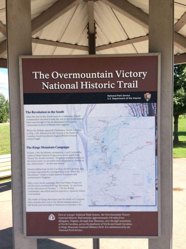
The Overmountain Victory National Historic Trail
Inscription.
The Revolution in the South
After the war in the North came to a stalemate, British commanders decided take the war to the South where there was thought to be an abundance of Loyalist (Americans in favor of British rule) support.
When the British captured Charleston, South Carolina in May 1780, followed by the victory at the battle of Camden, South Carolina in August, British fortunes looked bright.
The Kings Mountain Campaign
In June 1780, the British commander, ordered Major Patrick Ferguson to move north from Ninety Six, South Carolina. Ferguson warned Patriots in the backcountry to proclaim their allegiance to Britain or face destruction "...by fire and sword."
Patriot militia from North Carolina, South Carolina, and Georgia responded by joining militia from "Over the Mountains" (what is today eastern Tennessee and southwestern Virginia).
After two-week campaign, the had Major Ferguson and his men cornered at Kings Mountain. In one hour, on the afternoon of October 7, 1780 the British commander was killed and his total force was captured, killed, or wounded.
The battle of Kings Mountain and the battle of Cowpens three months later, led to the British abandonment of the South and surrender at Yorktown in October 1781.
(caption)
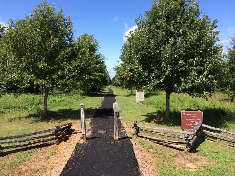
Part of a larger National Trails System, the Overmountain Victory National Historic Trail stretches approximately 330 miles from Abingdon, Virginia, through East Tennessee, over the high mountains of North Carolina, across the Piedmont of North and South Carolina, to Kings Mountain National Military Park. It is administered by the National Park Service.
Erected by National Park Service, U.S. Deparment of the Interior.
Topics. This historical marker is listed in this topic list: War, US Revolutionary. A significant historical date for this entry is October 7, 1780.
Location. 35° 7.879′ N, 81° 47.846′ W. Marker is near Gaffney, South Carolina, in Cherokee County. Marker is at the intersection of Chesnee Highway (State Highway 11) and Hayes Road, on the left when traveling west on Chesnee Highway. Marker is located at the Green River Road Trace access parking lot. Touch for map. Marker is in this post office area: Gaffney SC 29341, United States of America. Touch for directions.
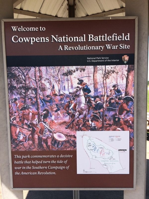
Other nearby markers. At least 8 other markers are within walking distance of this marker. Welcome to Cowpens National Battlefield (here, next to this marker); The Battle of Cowpens (a few steps from this marker); Road to the Revolution (approx. 0.2 miles away); From Pasture to Park (approx. 0.4 miles away); "...A Most Dreary Appearance" (approx. 0.4 miles away); The Robert Scruggs House
(approx. 0.4 miles away); January 17, 1781 (approx. 0.7 miles away); The British Army (approx. 0.7 miles away). Touch for a list and map of all markers in Gaffney.
Also see . . .
1. Overmountain Victory National Historic Trail. National Park Service (Submitted on September 27, 2017.)
2. Overmountain Victory Trail Association. "Keeping the story alive" (Submitted on September 27, 2017.)
3. Overmountain Victory National Historic Trail. Wikipedia (Submitted on September 27, 2017.)
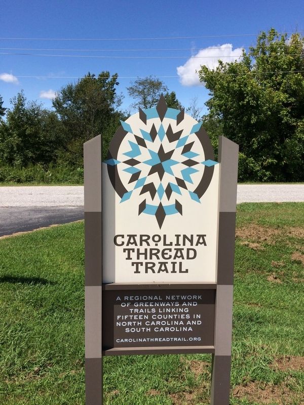
4. Carolina Thread Trail. (Submitted on September 27, 2017.)
5. Cowpens National Battlefield, National Park Service. (Submitted on August 30, 2019.)
Credits. This page was last revised on November 14, 2020. It was originally submitted on September 25, 2017, by Shane Oliver of Richmond, Virginia. This page has been viewed 320 times since then and 12 times this year. Photos: 1, 2, 3, 4, 5. submitted on September 25, 2017, by Shane Oliver of Richmond, Virginia. • Bernard Fisher was the editor who published this page.
