Seneca in Grant County, Oregon — The American West (Northwest)
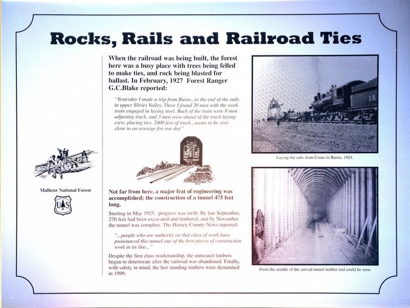
Rocks, Rails and Railroad Ties
When the railroad was being built the forest here was a busy place with trees being felled to make ties, and rock being blasted for ballast. In February 1927, forest ranger G. C. Blake reported:
"Yesterday I made the trip from Burns...to the end of the rails in upper Silvies Valley. There I found 20 men with the work train engaged in laying steel. Back of the train were 8 men adjusting track, and 3 men were ahead of the track-laying crew, placing ties. 2400 feet of track...seems to be very close to an average for one day."
Not far from here, a major feat of engineering was accomplished; the construction of a tunnel 475 feet long.
Starting in May 1925, progress was swift. By late September 270 feet and been excavated and timbered, and by November the tunnel was complete. The Harney County News reported:
"people who are authority on that class of work have pronounced this tunnel one of the best pieces of construction work in its line..."
Despite the first class workmanship, the untreated timbers began to deteriorate after the railroad was abandoned. Finally, with safety in mind, the last remaining timbers were dynamited in 1999.
Erected by Malheur National Forest.
Topics. This historical marker is listed in these topic lists: Horticulture & Forestry • Industry & Commerce • Railroads & Streetcars. A significant historical month for this entry is February 1927.
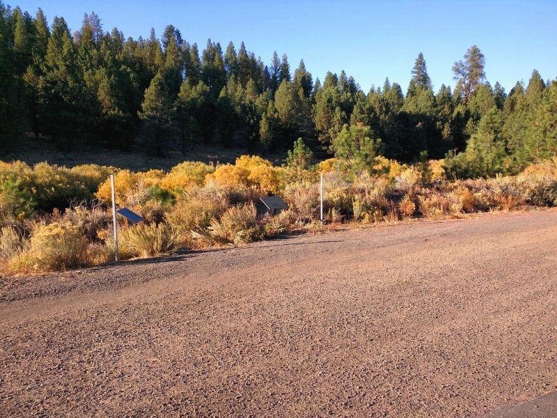
Location. 43° 50.747′ N, 118° 57.312′ W. Marker is in Seneca, Oregon, in Grant County. Marker is on U.S. 395, on the right when traveling south. Touch for map. Marker is in this post office area: Seneca OR 97873, United States of America. Touch for directions.
Other nearby markers. At least 1 other marker is within walking distance of this marker. Railroad to a Brighter Future (here, next to this marker).
Credits. This page was last revised on October 6, 2017. It was originally submitted on October 6, 2017, by Don Hann of Canyon City, Oregon. This page has been viewed 183 times since then and 12 times this year. Photos: 1, 2. submitted on October 3, 2017, by Don Hann of Canyon City, Oregon. • Syd Whittle was the editor who published this page.

