Near Salmon in Lemhi County, Idaho — The American West (Mountains)
Tower Creek
Lewis & Clark Trail
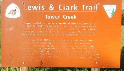
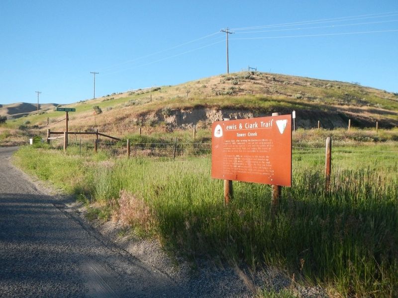
Captain Clark, after viewing the Continental Divide on August 22, 1805, remarked, “… we set out early passed a small creek on the right at 1 mile and the points of four mountains verry steep, high, and rockey. The assent of three was so steep that it is incredible to describe…”
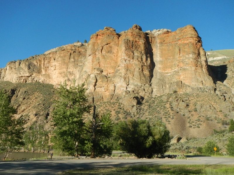
On August 31, 1805, on returning to this locale, the party turned from the Salmon River and traveled up Tower Creek. Clark wrote, “… we proceeded on the road on which I had descended as far as the first run below and left the road and encamped in some old lodges at the place the road leaves the creek and assends the high countrey (sic)… Passes remarkable rock resembling pirimids (sic) on the left side...”
Erected by Bureau of Land Management.
Topics and series. This historical marker is listed in these topic lists: Exploration • Landmarks. In addition, it is included in the Lewis & Clark Expedition series list. A significant historical date for this entry is August 31, 1805.
Location. 45° 19.374′ N, 113° 54.216′ W. Marker is near Salmon, Idaho, in Lemhi County. Marker can be reached from the intersection of Casey Road (U.S. 93) and Tower Creek Road, on the right when traveling north. Touch for map. Marker is at or near this postal address: 988 Casey Road, Salmon ID 83467, United States of America. Touch for directions.
Other nearby markers. At least 8 other markers are within 6 miles of this marker, measured as the crow flies. The Bluff (approx. 0.7 miles away); William Clark's Campsite, August 21 and 25, 1805 (approx. 0.8 miles away); Tower Rock: William Clark's "Clift" (approx. 0.8 miles away); Lewis and Clark: Departure Camp (approx. 1.6 miles away); William Clark's "Pirimids" (approx. 1.6 miles away); Erle and Lula Embley's Cabin (approx. 1.6 miles away); Historic Lemhi Co. (approx. 5½ miles away); Fort Bonneville (approx. 5½ miles away). Touch for a list and map of all markers in Salmon.
Credits. This page was last revised on August 31, 2021. It was originally submitted on November 6, 2017, by Barry Swackhamer of Brentwood, California. This page has been viewed 283 times since then and 24 times this year. Photos: 1, 2, 3. submitted on November 6, 2017, by Barry Swackhamer of Brentwood, California.


