Near Wallace in Shoshone County, Idaho — The American West (Mountains)
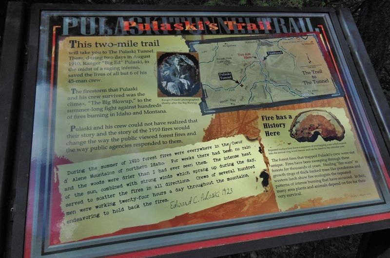
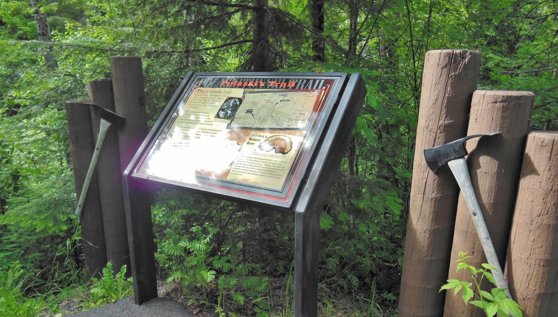
Pulaski's Trail
This two-mile trail
will take you to The Pulaski Tunnel. There, during two days in August 1910, Ranger “Big Ed” Pulaski, in the midst of a raging inferno, saved the lives of all but 6 of his 45-man crew.
The firestorm that Pulaski and his crew survived was the climax, “The Big Blowup,” to the summer-long fight against hundreds of fires burning in Idaho and Montana.
Pulaski and his crew could not have realized that their story and the story of the 1910 fires would change the way the public viewed forest first and the way public agencies responded to them.
“During the summer of 1910 forest fires were everywhere in the Coeur d’ Alene Mountains of northern Idaho. For weeks there had been no rain and the woods were drier than I had ever seen them. The intense heat of the sun, combined with strong winds which sprang up during the day, served to scatter the fires in all directions. Crews of several hundred mem were working twenty-four hours a day throughout the mountains, endeavoring to hold back the fires”
Edward C. Pulaski 1923
Fire has a History Here
“Repeated surface fires leave a sequence of overlapping scars which extend into the annual ring wood tissues and can be dated to the calendar year.”
The forest fires that trapped Pulaski’s crew were not unique. Fires have been sweeping through these forests for thousands of years. Healing “fire scars” in growth rings of thick-barked trees like ponderosa and western larch show fire ecologists the repeated patterns of intense burning that have occurred. In fact, many area plants and animals depend on fire for their very survival.
Erected by U.S. Forest Service, Department of the Interior.
Topics. This historical marker is listed in this topic list: Disasters. A significant historical date for this entry is August 20, 1910.
Location. 47° 27.546′ N, 115° 56.221′ W. Marker is near Wallace, Idaho, in Shoshone County. Marker can be reached from Forest Road 456, on the right when traveling south. Marker is located on the Pulaski Trail, Pulaski Historic Site, Idaho Panhandle National Forest, about a mile south of Wallace on Placer Creek Road/NF-456. Touch for map. Marker is in this post office area: Wallace ID 83873, United States of America. Touch for directions.
Other nearby markers. At least 8 other markers are within 2 miles of this marker, measured as the crow flies. "Big Ed" Pulaski (a few steps from this marker); The Pulaski Tunnel Trail (about 500 feet away, measured in a direct line); The Great Fire of 1910 (about 600 feet away); Historic Wallace South Hill Stairs (approx. one mile away); Rossi Insurance Building (approx. 1.1 miles away); Wallace World War Memorial (approx. 1.2 miles away); Wallace (approx. 1.3 miles away); "The Big Blowup" (approx. 1.3 miles away). Touch for a list and map of all markers in Wallace.
Related markers. Click here for a list of markers that are related to this marker.
Also see . . . Big Blowup of 1910.
After record low precipitation in April and May 1910, severe lightning storms in June ignited numerous fires in the mountainous forest region between Montana and Idaho. Throughout July the fledgling U.S. Forest Service, created by Pres. Theodore Roosevelt in 1905, employed roughly 4,000 firefighters to combat the fires. With the help of military reinforcements, the Forest Service seemed to have the situation under control, but on August 20 a dry cold front brought strong winds into the region. Winds of up to 70 miles (110 km) per hour whipped the flames into a frenzy as individual blazes united to form a massive conflagration. Balls of fire shot into the air, and firebrands fell as far as 50 miles (80 km) away. The fire spread so quickly that many firefighters were forced to seek shelter in creeks and mine shafts. (Submitted on November 13, 2017, by Cosmos Mariner of Cape Canaveral, Florida.)
Credits. This page was last revised on October 21, 2020. It was originally submitted on November 13, 2017, by Cosmos Mariner of Cape Canaveral, Florida. This page has been viewed 170 times since then and 12 times this year. Photos: 1, 2. submitted on November 13, 2017, by Cosmos Mariner of Cape Canaveral, Florida. • Andrew Ruppenstein was the editor who published this page.

