Marker Logo HMdb.org THE HISTORICAL
MARKER DATABASE
“Bite-Size Bits of Local, National, and Global History”
Southfield in Oakland County, Michigan — The American Midwest (Great Lakes)
 

Southfield United Presbyterian Church


Southfield United Presbyterian Church Marker image. Click for full size.
Photographed By Joel Seewald, November 11, 2017
1. Southfield United Presbyterian Church Marker
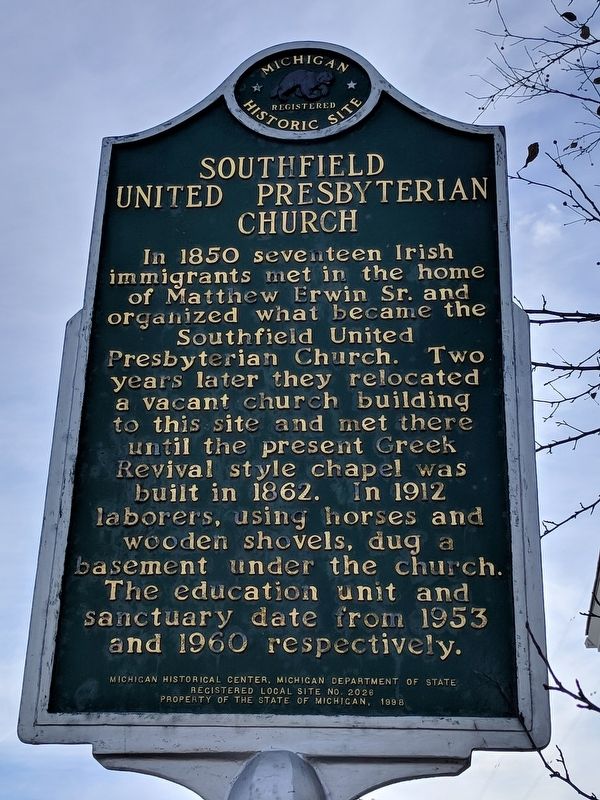
Inscription. In 1850 seventeen Irish immigrants met in the home of Matthew Erwin Sr. and organized what became the Southfield United Presbyterian Church. Two years later they relocated a vacant church building to this site and met there until the present Greek Revival style chapel was built in 1862. In 1912 laborers, using horses and wooden shovels, dug a basement under the church. The education unit and sanctuary date from 1953 and 1960 respectively.
 
Erected 1998 by Michigan Historical Center, Michigan Department of State. (Marker Number L2026.)
 
Topics and series. This historical marker is listed in this topic list: Churches & Religion. In addition, it is included in the Michigan Historical Commission series list. A significant historical year for this entry is 1850.
 
Location. 42° 28.345′ N, 83° 15.369′ W. Marker is in Southfield, Michigan, in Oakland County. Marker is on West Ten Mile Road east of Lois Lane, on the right when traveling east. Touch for map. Marker is at or near this postal address: 21575 West Ten Mile Road, Southfield MI 48075, United States of America. Touch for directions.
 
Other nearby markers. At least 8 other markers are within one mile of this marker, measured as the crow flies. Presbyterian Church (a few steps from this marker); Pioneer Cemetery (approx. 0.3 miles away); Henry Ford (approx. 0.4 miles away); Lawrence Institute of Technology
Paid Advertisement
Click on the ad for more information.
Please report objectionable advertising to the Editor.
Click or scan to see
this page online
(approx. 0.4 miles away); Mary Thompson Farm (approx. 0.9 miles away); Mary Thompson House (approx. 0.9 miles away); Memorial Marker (approx. 0.9 miles away); Southfield Cemetery (approx. 1.1 miles away). Touch for a list and map of all markers in Southfield.
 
Southfield United Presbyterian Church and Marker image. Click for full size.
Photographed By Joel Seewald, November 11, 2017
2. Southfield United Presbyterian Church and Marker
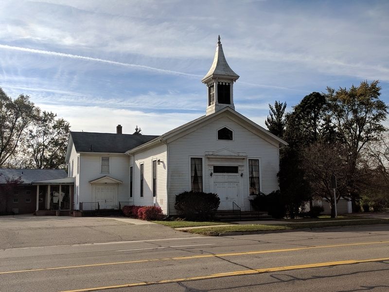
View of the 1862 chapel; marker is on the right.
Southfield United Presbyterian Church and Marker image. Click for full size.
Photographed By Joel Seewald, November 11, 2017
3. Southfield United Presbyterian Church and Marker
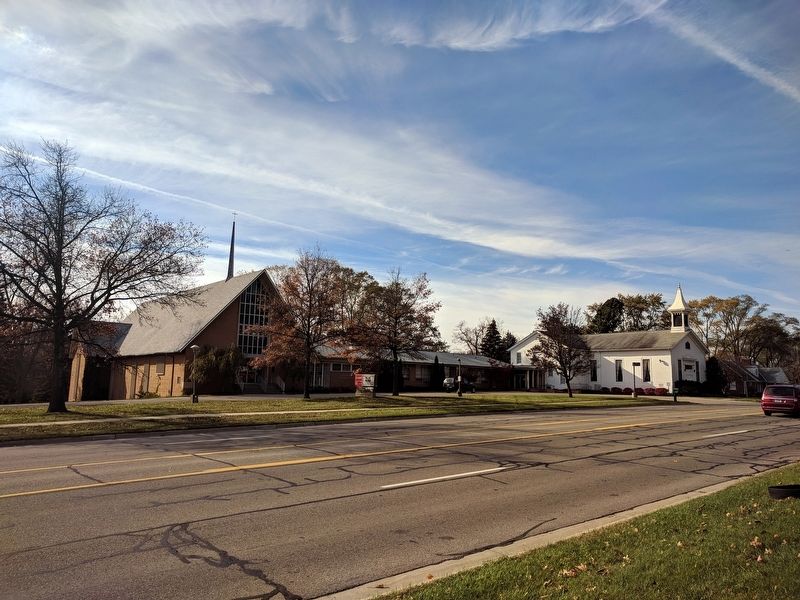
From left to right: 1960 chapel, 1953 education unit, 1862 chapel.
 
 
Credits. This page was last revised on November 14, 2017. It was originally submitted on November 14, 2017, by Joel Seewald of Madison Heights, Michigan. This page has been viewed 285 times since then and 27 times this year. Photos:   1, 2, 3. submitted on November 14, 2017, by Joel Seewald of Madison Heights, Michigan.
Share this page.  
Share on Tumblr
m=110056

CeraNet Cloud Computing sponsors the Historical Marker Database.
This website earns income from purchases you make after using our links to Amazon.com. We appreciate your support.
Paid Advertisement
Apr. 26, 2024