Logan Circle in Northwest Washington in Washington, District of Columbia — The American Northeast (Mid-Atlantic)
The Presidents' Church
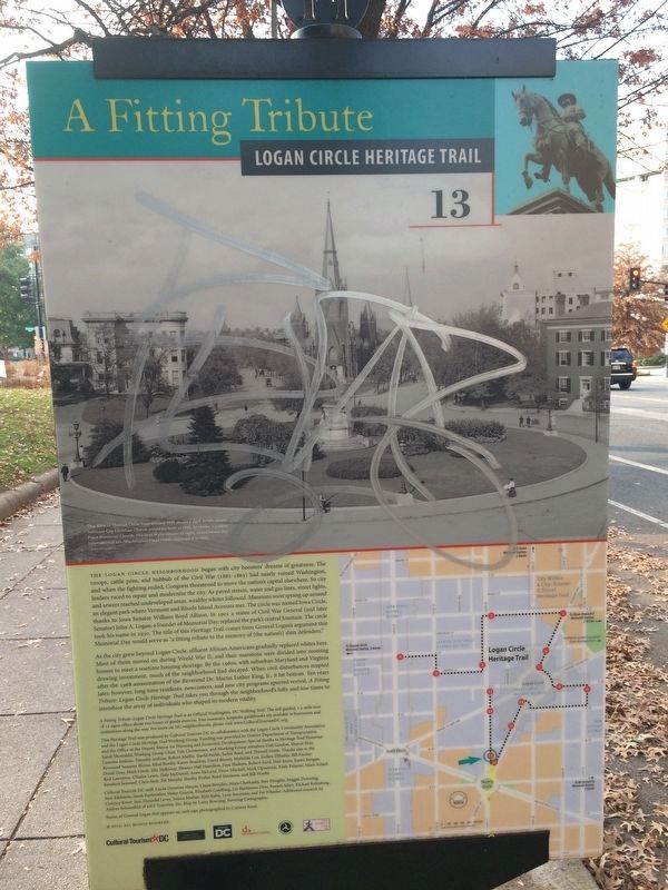
A Fitting Tribute
— Logan Circle Heritage Trail —
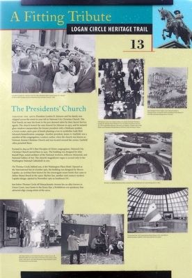
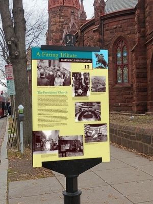
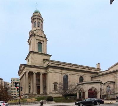
Through The 1960s President Lyndon B. Johnson and his family worshipped across the street to your left at National City Christian Church. The First Family sat near the front in the pew deemed safest by their Secret Service agents. The church hosted the state funeral for Johnson in 1973. and its stained-glass windows memorialize the former president with a Medicare symbol, a NASA rocket, and a pair of hands planting a tree to symbolize Lady Bird Johnson's beautification campaign. Another president, James A. Garfield, was a member of the congregation a century earlier, when the church was known as Vermont Avenue Christian Church and was located around the corner. Garfield often preached there.
Formed in 1843 as DC's first Disciples of Christ congregation, National City Christian Church moved here in 1930. The building was designed by John Russell Pope, noted architect of the National Archives. Jefferson Memorial. and National Gallery of Art The church's magnificent organ is second only to the Washington National Cathedral's in size.
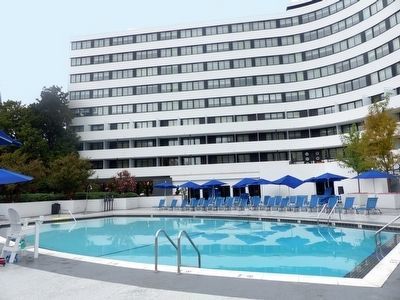
On Thomas Circle, behind you, is the Washington Plaza Hotel. Opened as the International Inn in October 1962, the building was designed by Morris Lapidus. an architect best known for the extravagant resort hotels that came to define Miami Beach in the 1950s. Skyline Inn. another mid-century modern Lapidus design, opened in November 1962 in Southwest DC.
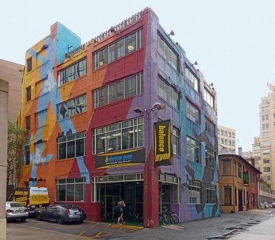
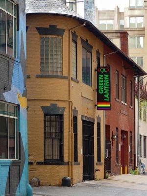
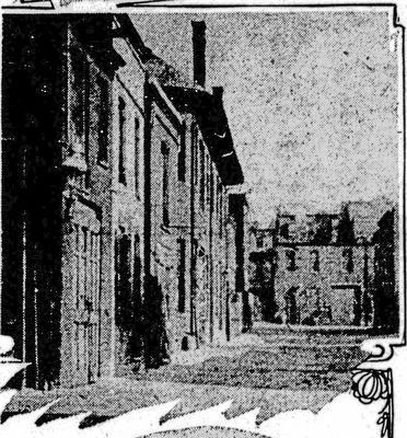
Just below Thomas Circle off Massachusetts Avenue lies an alley known as Green Court, once home to the Krazy Kat, a Prohibition-era speakeasy that attracted edgy young artists of the 1920s.
Erected 2012 by Cultural Tourism DC. (Marker Number 13.)
Topics and series. This historical marker is listed in these topic lists: Churches & Religion • Entertainment • Industry & Commerce. In addition, it is included in the Former U.S. Presidents: #20 James A. Garfield, the Former U.S. Presidents: #36 Lyndon B. Johnson, and the Logan Circle Heritage Trail series lists. A significant historical year for this entry is 1843.
Location. 38° 54.404′ N, 77° 1.907′ W. Marker has been reported damaged. Marker is in Northwest Washington in Washington, District of Columbia. It is in Logan Circle. Marker is at the intersection of 14th Street Northwest and Thomas Circle Northwest when traveling south on 14th Street Northwest. Touch for map. Marker is at or near this postal address: 1226 Vermont Avenue Northwest, Washington DC 20005, United States of America. Touch for directions.
Other nearby markers. At least 8 other markers are within walking distance of this location. Care for the City (within shouting distance of this marker); Hello! My name is Dawn Redwood. (within shouting distance of this marker); Major General George H. Thomas
Credits. This page was last revised on January 30, 2023. It was originally submitted on September 20, 2015, by Allen C. Browne of Silver Spring, Maryland. This page has been viewed 490 times since then and 20 times this year. Last updated on March 8, 2019, by Devry Becker Jones of Washington, District of Columbia. Photos: 1. submitted on September 20, 2015, by Allen C. Browne of Silver Spring, Maryland. 2. submitted on December 2, 2017, by Devry Becker Jones of Washington, District of Columbia. 3, 4, 5, 6, 7, 8. submitted on September 20, 2015, by Allen C. Browne of Silver Spring, Maryland. • Bill Pfingsten was the editor who published this page.
