Oak Ridge in Anderson County, Tennessee — The American South (East South Central)
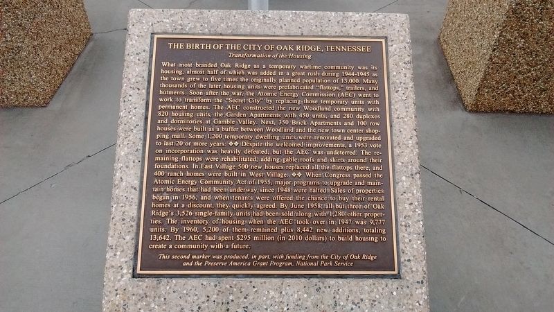
The Birth of the City of Oak Ridge, Tennessee
Transformation of the Housing
Inscription.
What most branded Oak Ridge as a temporary wartime community was its housing, almost half of which was added in a great rush during 1944-1945 as the town grew to five times the originally planned population of 13,000. Many thousands of the later housing units were prefabricated “flattops”, trailers, and Hutments. Soon after the war, the Atomic Energy Commission (AEC) went to work to transform the “Secret City” by replacing those temporary units with permanent homes. The AEC constructed the new Woodland community with 820 housing units, the Garden Apartments with 450 units, and 280 duplexes and dormitories at Gamble Valley. Next, 350 Brick Apartments and 100 row houses were built as a buffer between Woodland and the new town center shopping mall. Some 1,200 temporary dwelling units were renovated and upgraded to last 20 or more years. Despite the welcomed improvements, a 1953 vote on incorporation was heavily defeated, but the AEC was undeterred. The remaining flattops were rehabilitated, adding gable roofs and skirts around their foundations. In East Village 500 new houses replaced all the flattops there, and 400 ranch homes were built in West Village. When Congress passed the Atomic Energy Commission Act of 1955, major programs to upgrade and maintain homes that had been underway since 1948 were halted. Sales
of properties began in 1956, and when tenants were offered the chance to buy their rental homes at a discount, they quickly agreed. By June 1958, all but three of Oak Ridge’s 3,526 single-family units had been sold along with 1,280 other properties. The inventory of housing when the AEC took over in 1947 was 9,777 units. By 1960, 5,200 of them remained plus 8,442 new additions, totaling 13,642. The AEC had spent $295 million (in 2010 dollars) to build housing to create a community with a future.
This second marker was produced, in part, with funding from the City of Oak Ridge and the Preserve American Grant Program, National Park Service.
Erected by The City of Oak Ridge and The National Park Service.
Topics. This historical marker is listed in this topic list: Political Subdivisions. A significant historical month for this entry is June 1958.
Location. 36° 0.744′ N, 84° 15.479′ W. Marker is in Oak Ridge, Tennessee, in Anderson County. Marker is on South Tulane Avenue, on the right when traveling south. Marker is in front of the City of Oak Ridge Municipal Building. Touch for map. Marker is at or near this postal address: 200 South Tulane Avenue, Oak Ridge TN 37830, United States of America. Touch for directions.
Other nearby markers. At least 8 other markers are within walking distance of this marker. A different marker also named The Birth of the City of Oak Ridge, Tennessee (here, next to this marker); a different marker also named The Birth of the City of Oak Ridge, Tennessee
(here, next to this marker); a different marker also named The Birth of the City of Oak Ridge, Tennessee (here, next to this marker); Dedicated to the Memory of Those from Oak Ridge Who Gave Their Lives That Freedom Might Live (here, next to this marker); Violent Clashes (within shouting distance of this marker); 1944 (about 400 feet away, measured in a direct line); K-25 – The Gaseous Diffusion Plant (about 400 feet away); Oak Ridge Hospital (about 400 feet away). Touch for a list and map of all markers in Oak Ridge.
Related markers. Click here for a list of markers that are related to this marker.
Credits. This page was last revised on January 10, 2018. It was originally submitted on January 10, 2018, by Tom Bosse of Jefferson City, Tennessee. This page has been viewed 269 times since then and 27 times this year. Photos: 1, 2. submitted on January 10, 2018, by Tom Bosse of Jefferson City, Tennessee. • Bill Pfingsten was the editor who published this page.

