Newport Beach in Orange County, California — The American West (Pacific Coastal)
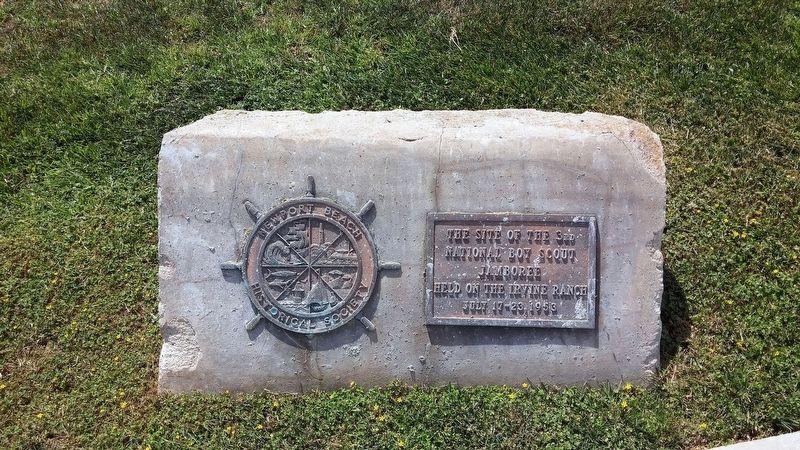
Site of 3rd National Boy Scout Jamboree
The site of the 3rd National Boy Scout Jamboree, held on the Irvine Ranch July 17-23, 1953.
Erected by Newport Beach Historical Society.
Topics. This historical marker is listed in this topic list: Fraternal or Sororal Organizations. A significant historical date for this entry is July 17, 1953.
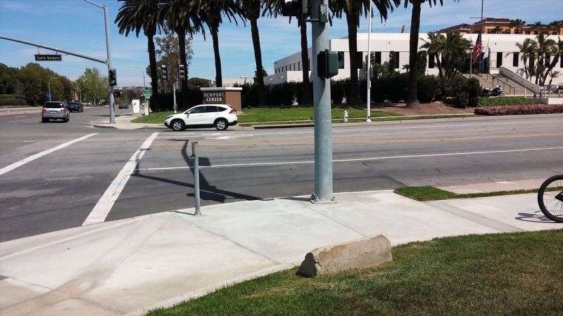
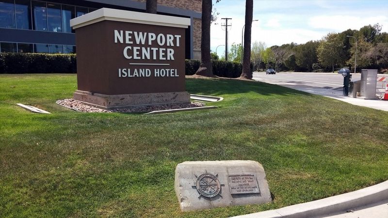
Location. 33° 37.382′ N, 117° 52.875′ W. Marker is in Newport Beach, California, in Orange County. Marker is at the intersection of Jamboree Road and Santa Barbara Dr, on the right when traveling north on Jamboree Road. Touch for map. Marker is in this post office area: Newport Beach CA 92660, United States of America. Touch for directions.
Other nearby markers. At least 8 other markers are within 2 miles of this marker, measured as the crow flies. Third National Jamboree (approx. 0.7 miles away); Roger Seitz (approx. 0.7 miles away); The Original Disneyland Bandstand (approx. 1.1 miles away); Welcome to the Balboa Island Museum (approx. 1.1 miles away); Nakayoshi - Good Friends (approx. 1.2 miles away); 1st Battalion, 1st Marines, 1st Marine Division Memorial (approx. 1.4 miles away); Castaways Park (approx. 1˝ miles away); Old Landing (approx. 1.6 miles away). Touch for a list and map of all markers in Newport Beach.
Regarding Site of 3rd National Boy Scout Jamboree. octehn.com provides additional history: Jamboree Road is one of the major thoroughfares in Orange County, running from just west of Irvine Lake, all the way south to Pacific Coast Highway.
But it used to be just a gravel road running from the Irvine Ranch Boy Scout Troop 36 Clubhouse, near Irvine Boulevard and Myford Road, down to Newport Beach, about 8 miles of road. It was created in 1953, in preparation for the third National Boy Scout Jamboree held July 17-23, 1953.
The Jamboree was the first ever held west of Mississippi River. It was a big event for Orange County, perhaps one of the key events putting Orange County on the map.
The site of the Jamboree is located where today's Newport Center and Eastbluff communities in Newport Beach now stand.
At the height of the festivities, the Jamboree was a city unto itself. People called it, "Jamboree Town". Peggy Goetz, wrote an article about the Jamboree which appeared in the Irvine World News...
"It had a fire company, a bank, a theater, a hospital, a telephone office, a U.S. Post Office, stores and even a zoo. People called it "Tent City" and "Jamboree Town." It had about 50,000 residents living in more than 25,000 tents."
If you know what the Sturgis Motorcycle Rally is to the town of Sturgis, South Dakota, the Boy Scout Jamboree had the same significance in Orange County just over 50 years ago. Today, just the name of Jamboree Road is the only living reminder of that event.
Also see . . .
1. World Scouting Museum. Website homepage (Submitted on January 19, 2018, by Douglass Halvorsen of Klamath Falls, Oregon.)
2. Jamboree Road. Orange County Memories (Submitted on January 19, 2018, by Douglass Halvorsen of Klamath Falls, Oregon.)
3. Jamboree Road. Wikipedia entry (Submitted on January 19, 2018, by Douglass Halvorsen of Klamath Falls, Oregon.)
Credits. This page was last revised on April 26, 2024. It was originally submitted on January 19, 2018, by Douglass Halvorsen of Klamath Falls, Oregon. This page has been viewed 518 times since then and 30 times this year. Photos: 1, 2, 3. submitted on January 19, 2018, by Douglass Halvorsen of Klamath Falls, Oregon. • Andrew Ruppenstein was the editor who published this page.


