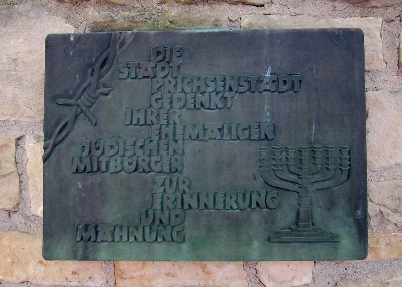
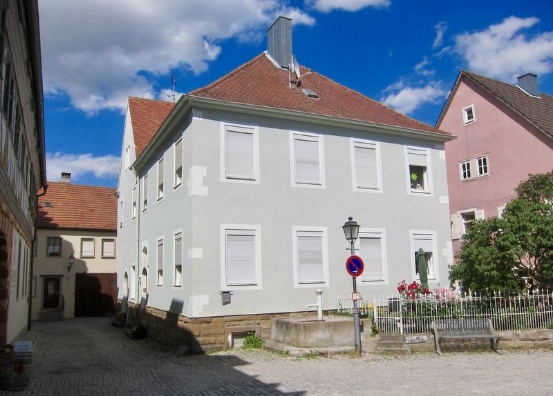
Synagoge / Synagogue
Historischer Stadtrundgang / Historical Town Walk
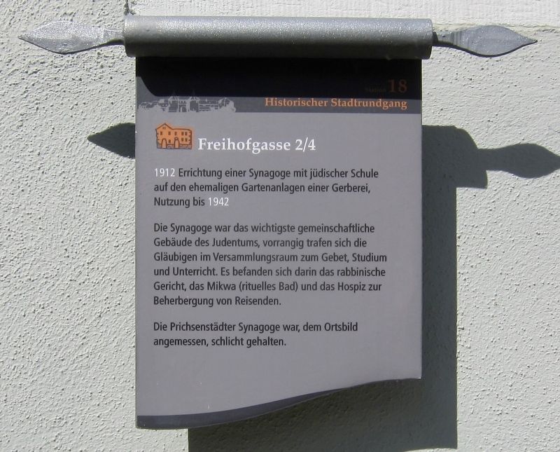
Die Synagoge war das wichtigste gemeinschaftliche Gebäude des Judentums, vorrangig trafen sich die Gläubigen im Versammlungsraum zum Gebet, Studium und Unterricht. Es befanden sich darin das rabbinische Gericht, das Mikwa (rituelles Bad) und das Hospiz zur Beherbergung von Reisenden.
Die Prichsenstädter Synagoge war, dem Ortsbild angemessen, schlicht gehalten.
In Jewish life, the synagogue was the most important community building, with the believers primarily meeting in the congregation room for prayer, study and instruction. It housed a rabbinical court, mikva (ritual bath) and lodgings for the accommodation of travelers.
The Prichsenstadt synagogue was in keeping with the rest of the town - unpretentious. (Marker Number 18.)
1912 Construction of a synagogue with a Jewish school on the former tannery yard, in use until 1942.
Topics. This historical marker is listed in this topic list: Churches & Religion
Location. 49° 49.077′ N, 10° 21.261′ E. Marker is in Prichsenstadt, Bayern (Bavaria), in Kitzingen. Marker is at the intersection of Freihofgasse and Schlossgasse on Freihofgasse. Touch for map. Marker is at or near this postal address: Freihofgasse 2-4, Prichsenstadt BY 97357, Germany. Touch for directions.
Other nearby markers. At least 8 other markers are within walking distance of this marker. Kirchgasse Stadtmauerdurchbruch / "Church Alley" Town Wall Opening (within shouting distance of this marker); Schulinstrasse 7 (within shouting distance of this marker); Schulinstrasse 1 (within shouting distance of this marker); Schulinstrasse 14 (within shouting distance of this marker); Karlsplatz 9 (about 90 meters away, measured in a direct line); Karlsplatz 7 (about 90 meters away); Stadtturm / City Tower (about 150 meters away); Luitpoldstrasse 5/7 (about 180 meters away). Touch for a list and map of all markers in Prichsenstadt.

Credits. This page was last revised on January 28, 2022. It was originally submitted on January 26, 2018, by Andrew Ruppenstein of Lamorinda, California. This page has been viewed 166 times since then and 9 times this year. Photos: 1, 2, 3. submitted on January 26, 2018, by Andrew Ruppenstein of Lamorinda, California.

