Seaside in Clatsop County, Oregon — The American West (Northwest)
Tsunami

Photographed By Barry Swackhamer, September 23, 2017
1. Tsunami Marker
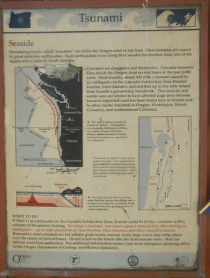
Captions: (map, upper left) The earth's surface consists of a series of "plates." These plates are constantly shifting and sliding over, under, or past each other. When a sudden movement occurs betweenez two plates, we experience an earthquake.; (map, center right) A tsunami can deposit a layer of sea sand in its path. Core samples have been collected along the Necanicum River and the surrounding lowlands for evidence of past tsunamis. Dots show where buried tsunami sand were found.; (diagram, lower left) The Juan de Fuca Plate is moving away from the Juan de Fuca Ridge and is being forced under the overriding North American Plate; this geological process is called subduction.
Devastating waves called “tsunamis” can strike Oregon’s coast at any time. These giant waves are caused by great undersea earthquakes. Such earthquakes can occur along the Cascadia Subduction Zone, one of the largest active faults in North America. This fault zone lies 32 to 70 miles offshore and roughly parallels the coast.
Tsunamis are dangerous and destructive. Cascadia tsunamis have struck the Oregon coast several times in the past 2,000 years. Most recently, about A.D. 1700, a tsunami caused by an earthquake on the Cascadia Subduction Zone flooded beaches, tidal channels, and marshes up to one mile inland from Seaside's present-day boardwalk. This tsunami and earlier ones are known to have affected large areas because tsunami-deposited sand has been found here in Seaside and in other coastal lowlands in Oregon, Washington, British Columbia, and northernmost California.
WHAT TO DO
If there is an earthquake on the Cascade Subduction Zone, Seaside could be hit by a tsunami within minutes of the ground shaking. To escape a tsunami, you must respond immediately after feeling an earthquake -- go to high ground away from the beaches, tidal channels, and other coastal lowlands.
Remember, most tsunamis are not solitary giant waves; instead many large waves may strike shore over the course of several hours. Do not return to the beach after the first tsunami wave. Wait for official word from authorities. For additional information contact your local emergency planning office or the Oregon Department of Geology and Mineral Industries.
Erected by Oregon Department of Geology and Mineral Industries and Oregon Department of Transportation.
Topics and series. This historical marker is listed in this topic list: Disasters. In addition, it is included in the Oregon Beaver Boards series list. A significant historical date for this entry is January 26, 1700.
Location. 45° 59.544′ N, 123° 55.824′ W. Marker is in Seaside, Oregon, in Clatsop County. Marker can be reached from the intersection of South Promenade and Avenue A. Touch for map. Marker is in this post office area: Seaside OR 97138, United States of America. Touch for directions.
Other nearby markers. At least 8 other markers are within 6 miles of this marker, measured as the crow flies. Gilbert Inn - 1892 (about 300 feet away, measured in a direct line); Site of the Lewis and Clark Salt Camp (approx. 0.6 miles away); The Saltworks (approx. 0.6 miles away); Lewis & Clark Salt Cairn (approx. 0.6 miles away); A Convenient Place for Making Salt (approx. 0.8 miles away); Ekkoli: A Whale of a Tale (approx. 4.8 miles away); Ecola (approx. 5.7 miles away); "Cannon Beach" (approx. 5.7 miles away). Touch for a list and map of all markers in Seaside.
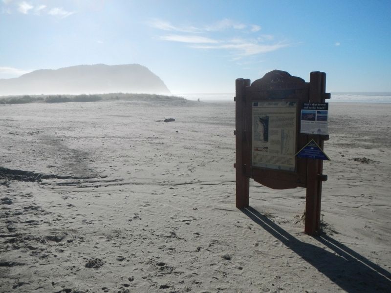
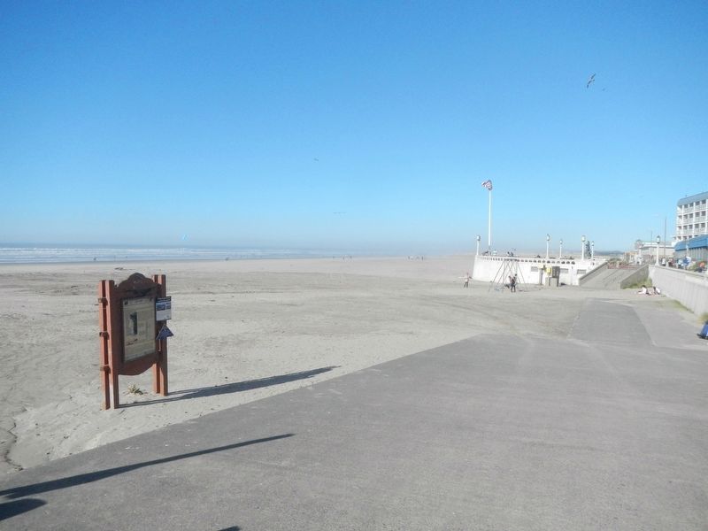
More about this marker. This marker if found on the beach at the end of Avenue A.
Also see . . . 1700 Cascadia earthquake - Wikipedia. The 1700 earthquake took place at about 21:00 on January 26, 1700 (NS). Although there are no written records for the region from the time, the timing of the earthquake has been inferred from Japanese records of a tsunami that does not correlate with any other Pacific Rim quake. The Japanese records exist primarily in the prefecture of Iwate, in communities such as Tsugaruishi, Kuwagasaki and Ōtsuchi. (Submitted on February 8, 2018, by Barry Swackhamer of Brentwood, California.)
Credits. This page was last revised on February 9, 2018. It was originally submitted on February 8, 2018, by Barry Swackhamer of Brentwood, California. This page has been viewed 245 times since then and 8 times this year. Photos: 1, 2, 3. submitted on February 8, 2018, by Barry Swackhamer of Brentwood, California.

