Oregon City in Clackamas County, Oregon — The American West (Northwest)
Baker Cabin Historical Society
Inscription.
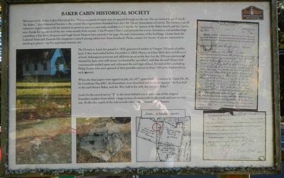
Welcome to the Baker Cabin Historical Site. This is one panel of many that are spaced throughout the site. You are invited to see them all. The Baker Cabin Historical Society is the present day organization founded from the Old Timers Association of Carver. The Society is an all volunteer organization with the mission to preserve, protect, and make available to the public the history of the Baker family and the Carver area. Funds for the operation of this site come mainly from the rental of the Pioneer Church and grounds for events. Donations and memberships contribute a fair share. Bequests and Eagle Scout Projects have provided for upgrades and maintenance of the buildings. Grants from the Cultural Trust and Tourism Development Council among others have been beneficial. Please contact the Society if you are interested in assisting in the preserving this important historical site.
The Donation Land Act passed in 1850, guaranteed settlers in Oregon 320 acres of public land, if they had settled before December 1, 1850. Horace and Jane filed claim to 640 acres of land. Subsequent petitions and affidavits attest to the fact that the 320 acres previously claimed by Jane, were still vacant (unclaimed by any other), and that she and Horace had continuously resided upon and cultivated the said tract of land. Several settlers, including Phillip Foster, who were queried of their possible interest in those 320 acres, disavowed any such interest.
When the final papers were signed on July 24, 1877, granting the Donation to Claim No. 68 by Certificate No. 4967, the boundaries were described and it was designated "the East half to the said Horace Baker, and the West half to his wife, the said Jane Baker."
Look for the carved "X" in the stone behind you which is one of the original boundary markers from which a large section of countryside to the south and east was laid out. To this day, much of the title records refer to this location and reference.
Erected by Baker Cabin Historical Society.
Topics. This historical marker is listed in these topic lists: Landmarks • Settlements & Settlers. A significant historical date for this entry is July 24, 1877.
Location. 45° 23.33′ N, 122° 29.804′ W. Marker is in Oregon City, Oregon, in Clackamas County. Marker can be reached from South Gronlund Road near Carver Road, on the right when traveling west. Touch for map. Marker is at or near this postal address: 1800 South Gronlund Road, Oregon City OR 97045, United States of America. Touch for directions.
Other nearby markers. At least 8 other markers are within 5 miles of this marker, measured as the crow flies. Baker Cabin Pioneer Church (within shouting distance of this marker); Baker Site (within shouting distance of this marker); The Baker Cabin
(about 400 feet away, measured in a direct line); The Baker Cabin Overview (about 500 feet away); The Baker Family (about 500 feet away); Area Commerce (about 500 feet away); Grinding Rock (about 500 feet away); Willamette Falls, circa 1880 (approx. 5 miles away). Touch for a list and map of all markers in Oregon City.
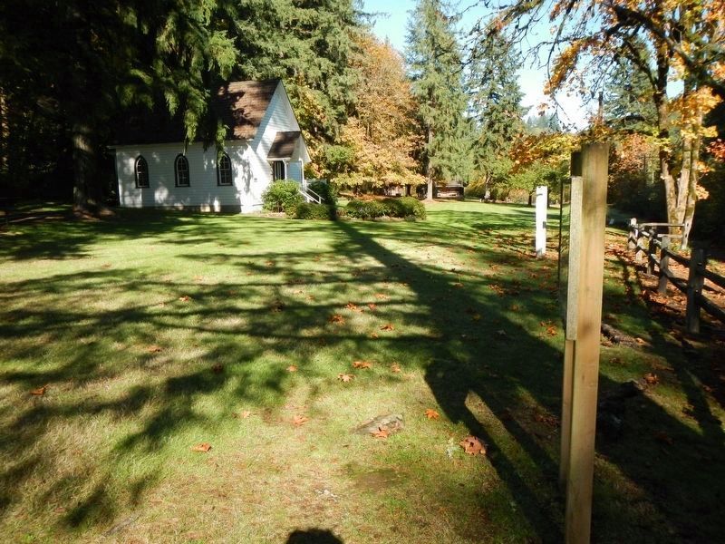
More about this marker. This marker is located on the grounds of Baker Cabin Historical Site.
Credits. This page was last revised on February 20, 2018. It was originally submitted on February 20, 2018, by Barry Swackhamer of Brentwood, California. This page has been viewed 261 times since then and 21 times this year. Photos: 1, 2. submitted on February 20, 2018, by Barry Swackhamer of Brentwood, California.

