Great River in Suffolk County, New York — The American Northeast (Mid-Atlantic)
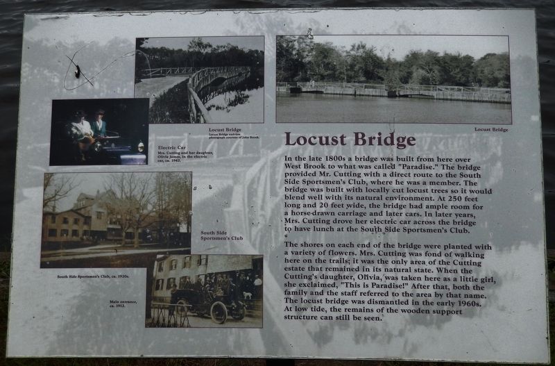
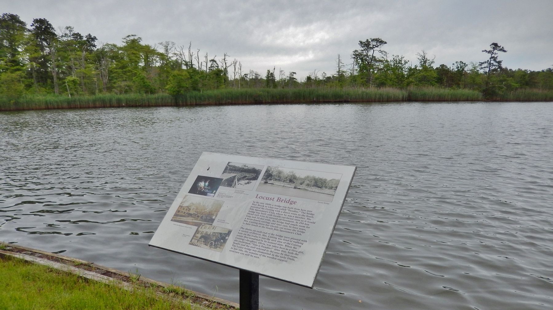
Locust Bridge
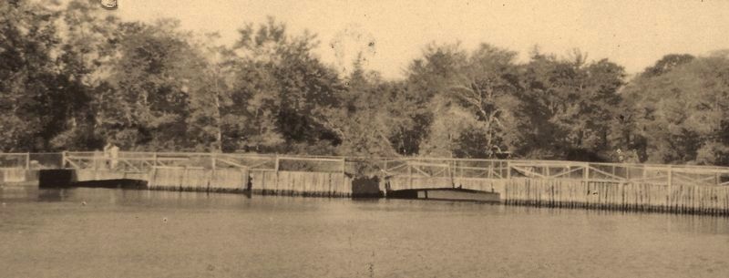
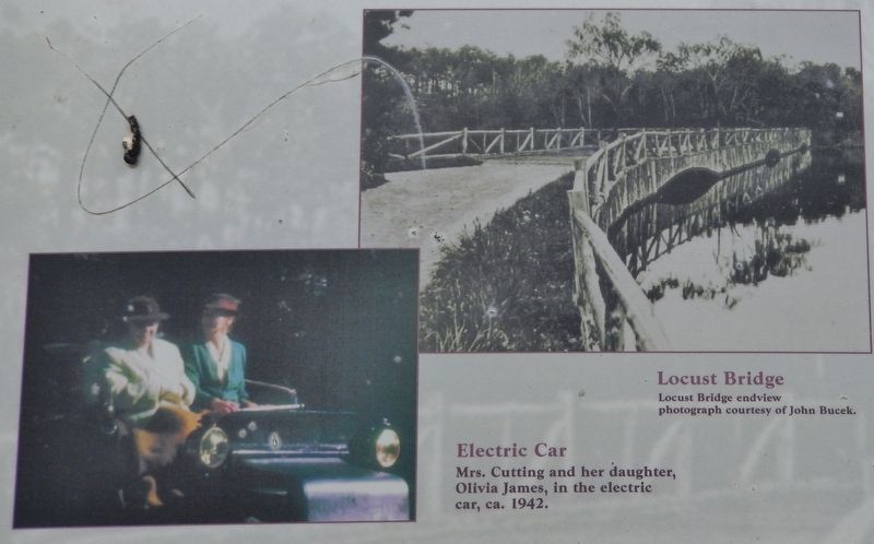
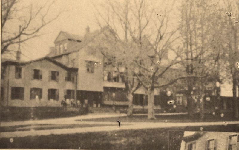
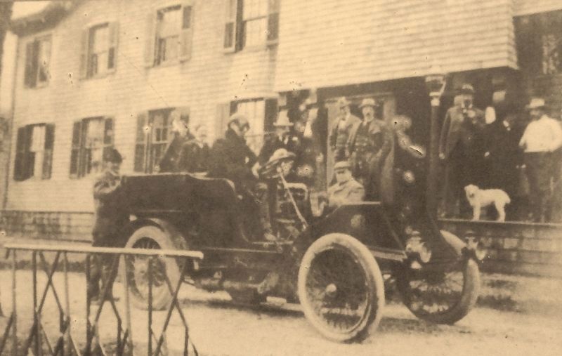
In the late 1800s a bridge was built from here over West Brook to what was called "Paradise." The bridge provided Mr. Cutting with a direct route to the South Side Sportsmen's Club, where he was a member. The bridge was built with locally cut locust trees so it would blend well with its natural environment. At 250 feet long and 20 feet wide, the bridge had ample room for a horse-drawn carriage and later cars. In later years, Mrs. Cutting drove her electric car across the bridge to have lunch at the South Side Sportsmen's Club.
The shores on each end of the bridge were planted with a variety of flowers. Mrs. Cutting was fond of walking here on the trails; it was the only area of the Cutting estate that remained in its natural state. When the Cutting's daughter, Olivia, was taken here as a little girl, she exclaimed, "This is Paradise!" After that, both the family and the staff referred to the area by that name. The locust bridge was dismantled in the early 1960s. At low tide, the remains of the wooden support structure can still be seen.
Topics. This historical marker is listed in this topic list: Bridges & Viaducts.
Location. 40° 44.559′ N, 73° 9.352′ W. Marker is in Great River, New York, in Suffolk County. Marker can be reached from Ruland Road south of Montauk Highway (New York State Route 27A) when traveling south. Marker is located inside Bayard Cutting Arboretum State Park, along the Connetquat River Trail on the northeast side of the park. Touch for map. Marker is at or near this postal address: 440 Montauk Highway, Great River NY 11739, United States of America. Touch for directions.
Other nearby markers. At least 8 other markers are within walking distance of this marker. The Connetquot River (within shouting distance of this marker); Neighbor Across the Way (about 400 feet away, measured in a direct line); Spike Tooth Harrow (approx. ¼ mile away); Oliver Farm Plow (approx. ¼ mile away); Hay Rake (approx. ¼ mile away); Manure Spreader (approx. ¼ mile away); Sickle Bar Mower (approx. ¼ mile away); The Country Home (approx. 0.6 miles away). Touch for a list and map of all markers in Great River.
More about this marker. The marker overlooks the Connetquat River and former site of the subject bridge.
Also see . . . South Side Sportsmen's Club. Wikipedia entry:
In 1886, a club was chartered under the name of "The South Side Sportsmen's Club of Long Island". The first article of the constitution of the association stated, "This club is established for the protection of game birds and fish and for the promotion of social intercourse among its members." By 1907 there were one hundred members including George Slade, William Bayard Cutting, John Cochrane, Frank Hall, George De Witt, Esq., Daniel Fearing, Frederic Rhinelander, W.K. Vanderbilt, Alfred Wagstaff, Jr., Esq., and H.B. Hollins. Included among guests was Ulysses S. Grant. (Submitted on March 8, 2018, by Cosmos Mariner of Cape Canaveral, Florida.)
Credits. This page was last revised on January 28, 2021. It was originally submitted on March 8, 2018, by Cosmos Mariner of Cape Canaveral, Florida. This page has been viewed 244 times since then and 19 times this year. Photos: 1, 2, 3, 4, 5, 6. submitted on March 8, 2018, by Cosmos Mariner of Cape Canaveral, Florida. • Andrew Ruppenstein was the editor who published this page.
