Near Acarlar in Selçuk, İzmir, Turkey — West Asia or Southeast Europe
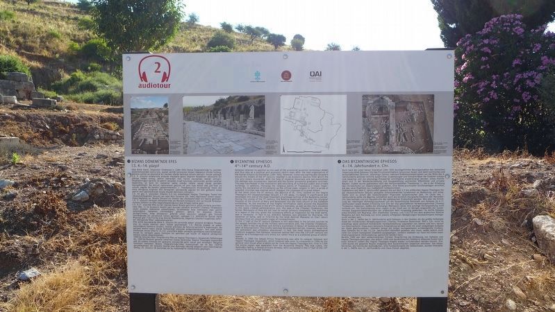
Byzantine Ephesos
4th - 14th century A.D.
English Text:
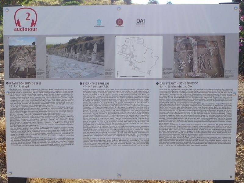
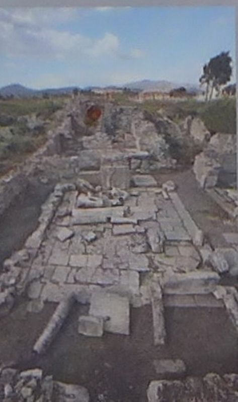
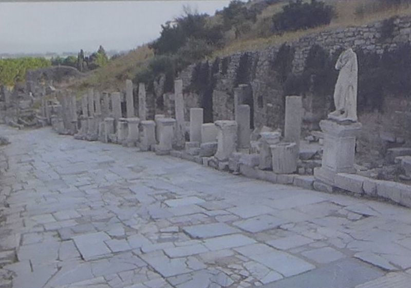
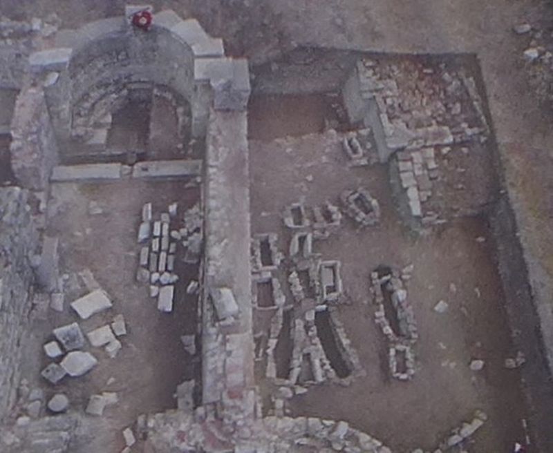
Ephesos retained its position as the seat of the provincial governor (proconsul Asiae) and thus also as a political and economic centre even after the new organization of the Roman Empire by Diocletian (284-305). However, numerous earthquake disasters around the middle of the 4th century resulted in an economic decline from which the city only slowly recovered. With the help of imperial donations and tax exemptions the damage was successively repaired and the former prosperity gradually returned. This was manifested in the restoration and rebuilding of numerous public and private buildings. In addition, following the religious edicts of Theodosius I (most importantly, the declaration of Christianity as the official state religion in 391) a series of splendid churches was erected which changed the cityscape to a great extent.
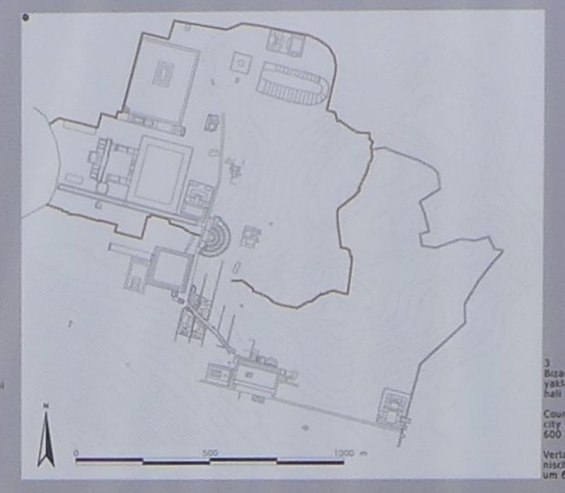
At the latest since the 5th century, the Basilica of St. John, located on the Hagios Theologios Hill (Ayasoluk/today Selçuk) 2.5 km away, increased in significance and developed into one of the most important pilgrimage centres of the Byzantine period. During the course of the 7th century, the Basilica eventually took the liturgical function of the Church of Mary and developed into the main church of the Ephesian archbishop. As the erection of the mighty fortification walls around the Byzantine remnant city of Ephesos in the 6th/7th century indicates, as well as the city's elevation to the newly created administrative unit, the seat of the (Thema) Thrakesion, the former Metropolis of Asia did not lose its earlier primacy completely. The stationing of a legion in the city, given the increasing efforts at expansion by the Arab world, was a necessity; in fact in ca. 654/655 Ephesos was attacked by Mua'wiya, the Governor of Syria, and in 715/716 by the Arab Admiral Masiama on their return journeys from an unsuccessful siege of Constantinople.
In the 1st half of the 9th century Ephesos is still described in the ancient sources as the largest fortified city of the military administrative unit, the (Thema) Thrakesion. In A.D. 890 it lost its political and military supremacy in favour of Samos and shortly after of Smyrna/Izmir. This briefly sketched development did not, however, mean that the settlement was ultimately abandoned: in fact, the most recent archaeological evidence suggests that Ephesos remained settled well into the 13th/14th century not however as a homogenous civic entity but rather more as a scattered group of settlements.
Already in 1090 the Seljuk Prince Tengribirmis was able to conquer Ephesos and Hagios Theologos (Ayasoluk), which however was soon re-conquered in 1096 by the general
John Ducas after a battle not far from the Hagios Theologos Hill. First in 1304 the entire region was separated from the Byzantine Empire. The new rulers, the Aydinoglu Family, a Seljuk princely dynasty, were succeeded in the 1st half of the 15th century by the Ottoman Dynasty.
Erected by Republic of Turkey Ministry of Culture and Tourism, and the Österreichisches Archaeology Institute.
Topics. This historical marker is listed in these topic lists: Forts and Castles • Settlements & Settlers.
Location. 37° 56.166′ N, 27° 20.742′ E. Marker is near Acarlar, İzmir, in Selçuk. Marker is on Efes Yolu just south of Dr. Sabri Yayla Boulevard (Route D515) when traveling south. The marker is in an archaeological park that is about 3 km (2 miles) southeast of Selçuk. Touch for map. Marker is in this post office area: Acarlar, İzmir 35920, Turkey. Touch for directions.
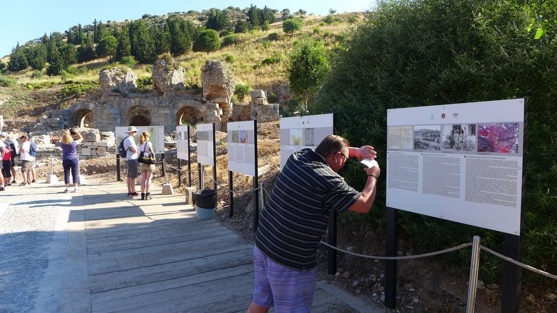
Other nearby markers. At least 8 other markers are within walking distance of this marker. Roman Ephesos (here, next to this marker); The Hellenistic Ephesos (here, next to this marker); The Early Ephesos (here, next to this marker); Ancient Ephesos (here, next to this marker); Research History of Ephesos (a few steps from this marker); Baths at the 'State Agora' (within shouting distance
of this marker); Processional Way (within shouting distance of this marker); The 'State Agora' (within shouting distance of this marker). Touch for a list and map of all markers in Acarlar.
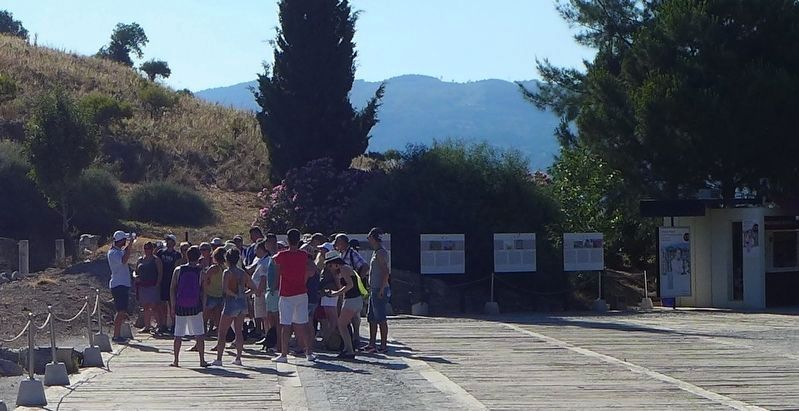
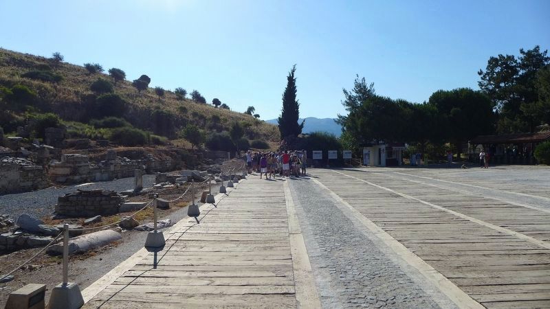
More about this marker. This marker is one of the many markers that are situated at the archaeological park that displays the ruins of the ancient city of Ephesus. One web site boasts that the ruins that one can see and experience at Ephesus are, "better than Rome itself," and although some of the artifacts found in this area have been dated back to about 6,000 BC, most of what the visitors to the archaeological park see, date back to the glory years of Greece and Rome.
Credits. This page was last revised on February 2, 2022. It was originally submitted on March 14, 2018, by Dale K. Benington of Toledo, Ohio. This page has been viewed 196 times since then and 8 times this year. Photos: 1, 2, 3, 4, 5, 6, 7, 8, 9. submitted on March 14, 2018, by Dale K. Benington of Toledo, Ohio.
