Covington in St. Tammany Parish, Louisiana — The American South (West South Central)
Reconstruction Period
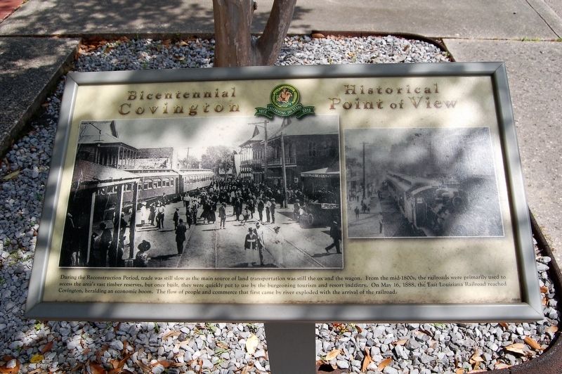
Bicentennial Covington - Historical Point of View
During the Reconstruction Period, trade was still slow as the main source of land transportation was still the ox and the wagon. From the mid-1800s, the railroads were primarily used access the area's vast timber reserves, but once built, they were quickly put to use by the burgeoning tourism and resort industry. On May 16, 1888, the East Louisiana Railroad reached Covington, heralding an economic boom. The flow of people and commerce that first came by river exploded with the arrival of the railroad.
Erected by City of Covington, Louisiana.
Topics. This historical marker is listed in these topic lists: Industry & Commerce • Railroads & Streetcars • Settlements & Settlers.
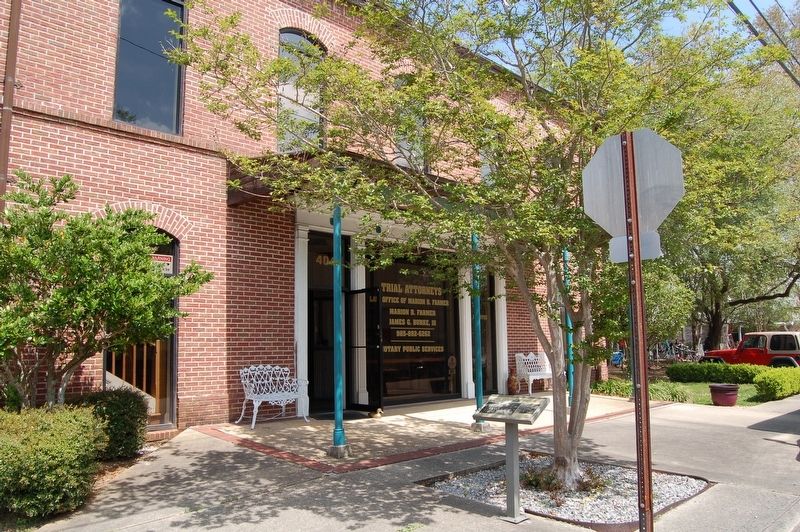
Location. 30° 28.603′ N, 90° 5.748′ W. Marker is in Covington, Louisiana, in St. Tammany Parish. Marker is at the intersection of East Gibson Street and North New Hampshire Street, on the right when traveling west on East Gibson Street. Touch for map. Marker is at or near this postal address: 404 East Gibson Street, Covington LA 70433, United States of America. Touch for directions.
Other nearby markers. At least 8 other markers are within walking distance of this marker. Public "Ox Lot" Parking (within shouting distance of this marker); Ronald Wilson Reagan (about 300 feet away, measured in a direct line); Bicentennial Covington #1 (about 400 feet away); Courthouse Square and Historic Oaks (about 400 feet away); H.J. Smith and Sons Hardware and Museum (about 400 feet away); The Southern Hotel (about 500 feet away); The Covington Bank and Trust Building (about 500 feet away); Doodlebug (about 600 feet away). Touch for a list and map of all markers in Covington.
Credits. This page was last revised on March 29, 2018. It was originally submitted on March 29, 2018, by Cajun Scrambler of Assumption, Louisiana. This page has been viewed 200 times since then and 17 times this year. Photos: 1, 2. submitted on March 29, 2018.

