Potomac Yard in Alexandria, Virginia — The American South (Mid-Atlantic)
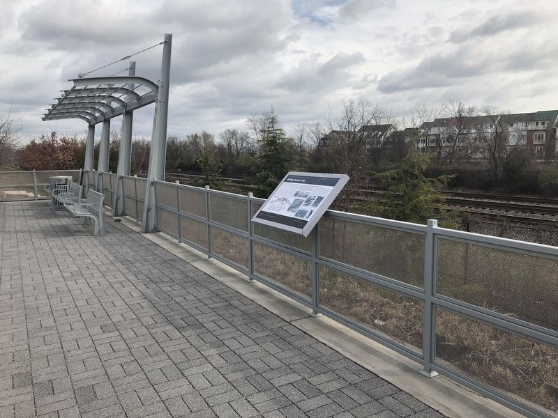
Building Potomac Yard
City of Alexandria Est. 1749
— Potomac Yard —
Potomac Yard was located between Washington D.C. and Alexandria because the site already served as the confluence of many shipping routes; was centrally located on the eastern seaboard; and would alleviate troublesome train congestion from smaller yards in the region. When Potomac Yard opened in 1906, it encompassed 450 acres of land, was about 2.5 miles long, and contained 52 miles of track.
Potomac Yard was a rail classification yard that facilitated distribution of freight between northbound and southbound trains for six railroad companies. Most trains entering the Yard were composed of rail cars bound for different destinations. One train entering the Yard might contain cars bound for five or more cities. To increase efficiency, these trains were "switched" (or dismantled) and reassembled into different trains where all the cars were headed to the same location, or at least a destination along the same route. Potomac Yard was called a "classification yard" because each rail car was classified by its contents and destination and those classifications helped Potomac yard workers determine how to reassemble the trains.
Besides miles of track, the Yard contained numerous buildings and structures over the years. Yard management was done from the Central Operations building, Yardmaster's Office, and Accountant's Office. Refueling took place at the tall coaling tipples or the Diesel Oil Pump House. Repairs were done at the Blacksmith's Shop, Carpenter's Shop, and Machine Shop. Laborers slept and ate at on-site bunkhouses and kitchens. The Yard also contained livestock pens, fire stations, storage sheds, and water treatment facilities.
The Mutual Ice Company
Established in 1900, the Mutual Ice Company stood just east of the Yard and supplied ice for cars carrying perishable items such as meat and fruit. Before the days of mechanical refrigeration, blocks of ice were conveyed from the ice warehouse on overhead platforms and lowered into rail cars through roof hatches. At its peak, Mutual Ice loaded 700 tons of ice onto 500 cars each day. However, the onset of refrigerated cars in the 1950s made icing obsolete and Mutual Ice closed its doors in 1969.
Erected by City of Alexandria.
Topics and series. This historical marker is listed in these topic lists: Industry & Commerce • Railroads & Streetcars. In addition, it is included in the Virginia, The City of Alexandria series list. A significant historical year for this entry is 1906.
Location. 38° 49.776′ N, 77° 2.837′ W. Marker is in Alexandria, Virginia. It is in Potomac Yard. Marker is at the intersection of Potomac Avenue
Other nearby markers. At least 8 other markers are within walking distance of this marker. The Alexanders & Agriculture (approx. 0.2 miles away); The People of Potomac Yard (approx. ¼ mile away); Virginia's First Highways (approx. ¼ mile away); The Bluemont Line (approx. half a mile away); Crossroads of Transportation (approx. half a mile away); The Rail Yard Hump (approx. half a mile away); Potomac Yard in Transition (approx. half a mile away); Corporal Charles William Hill (approx. half a mile away). Touch for a list and map of all markers in Alexandria.
Credits. This page was last revised on January 27, 2023. It was originally submitted on March 30, 2018, by Devry Becker Jones of Washington, District of Columbia. This page has been viewed 447 times since then and 45 times this year. Photos: 1, 2, 3. submitted on March 30, 2018, by Devry Becker Jones of Washington, District of Columbia. • Bernard Fisher was the editor who published this page.


