Eaton in Madison County, New York — The American Northeast (Mid-Atlantic)
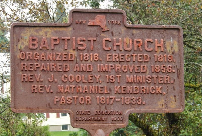
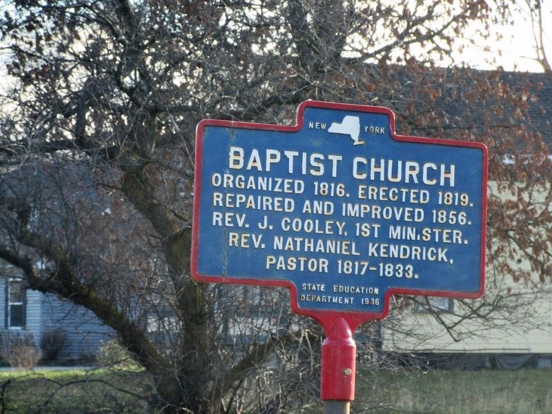
Baptist Church
Repaired and improved 1856.
Rev. J. Cooley, 1st Minister.
Rev. Nathaniel Kendrick,
Pastor 1817-1833.
State Education Department 1936
Erected 1936 by New York State Education Department.
Topics. This historical marker is listed in this topic list: Churches & Religion. A significant historical year for this entry is 1816.
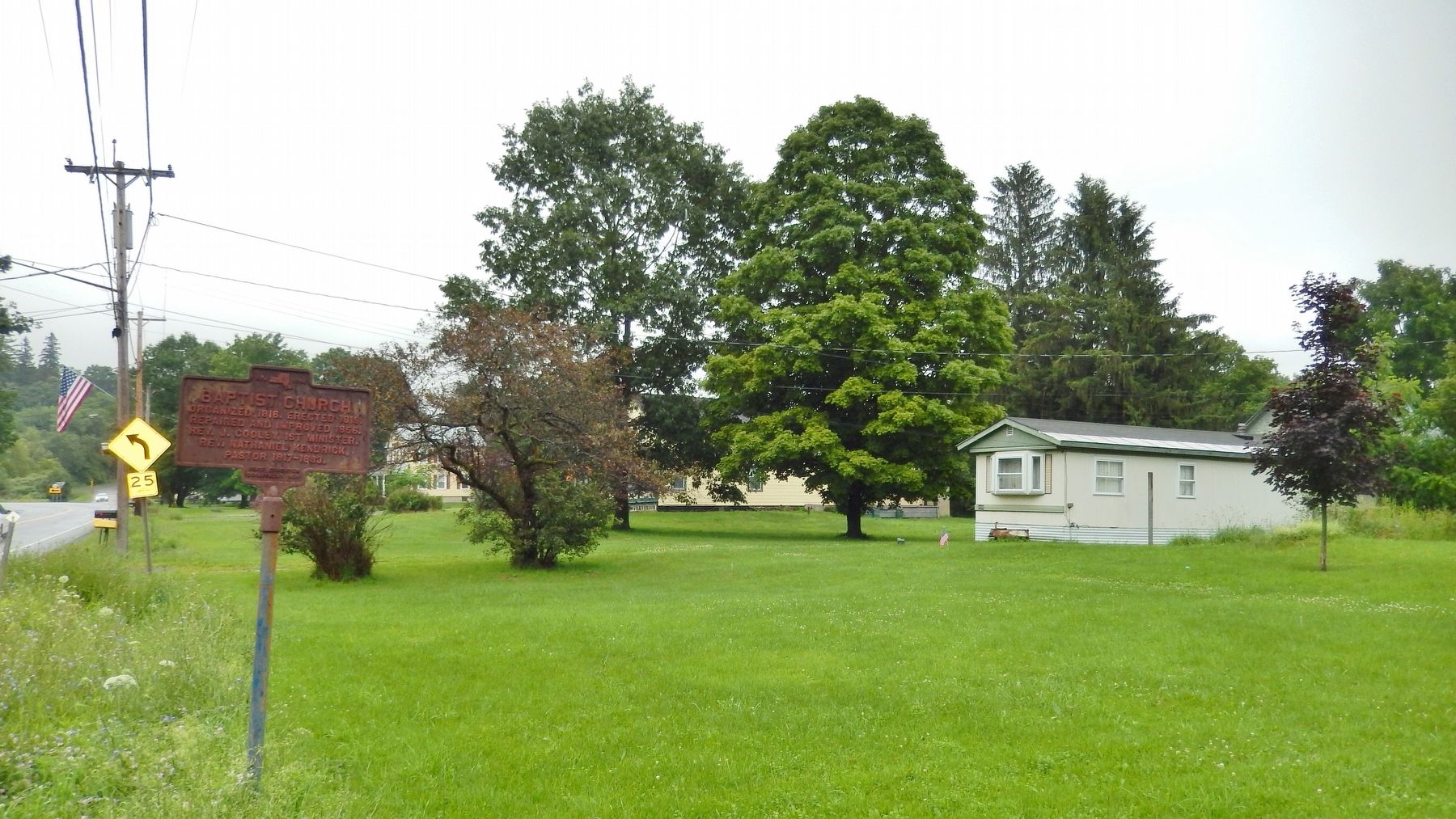
Location. 42° 51.009′ N, 75° 36.535′ W. Marker is in Eaton, New York, in Madison County. Marker is on New York State Route 26 east of Church Street, on the right when traveling east. Marker is located beside the highway, next to a vacant lot. Touch for map. Marker is in this post office area: Eaton NY 13334, United States of America. Touch for directions.
Other nearby markers. At least 8 other markers are within 2 miles of this marker, measured as the crow flies. WTM Engine Works (about 600 feet away, measured in a direct line); Eaton Church (approx. 0.2 miles away); Old Union School (approx. 0.2 miles away); Morse House (approx. 0.3 miles away); Home of Cyrus and Elizabeth Heminway Finney (approx. 0.4 miles away); Morse Mill Dam (approx. half a mile away); Toll Gate No. 2 (approx. 1.4 miles away); Toll Gate No. 1 (approx. 1˝ miles away). Touch for a list and map of all markers in Eaton.
More about this marker. Marker is significantly weathered.
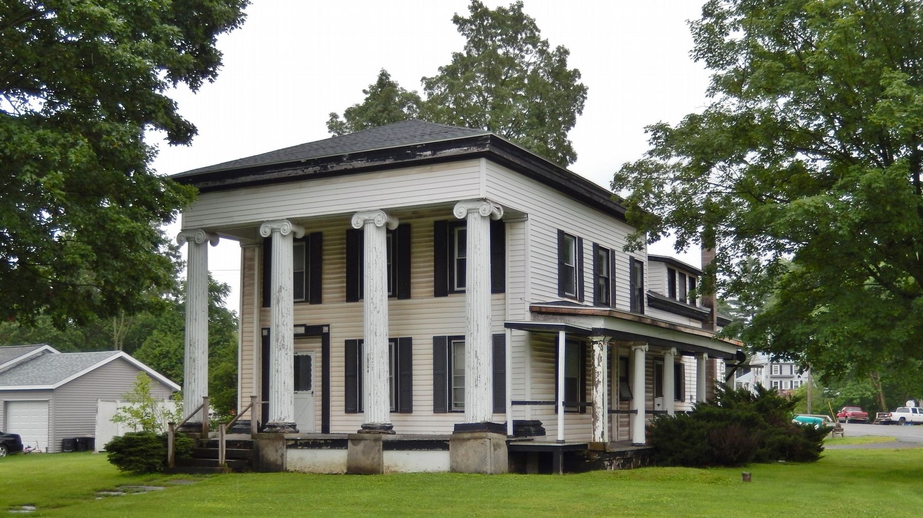
Regarding Baptist Church. Nothing remains at this location of the church described by this marker.
Credits. This page was last revised on July 7, 2022. It was originally submitted on April 25, 2018, by Cosmos Mariner of Cape Canaveral, Florida. This page has been viewed 175 times since then and 16 times this year. Photos: 1, 2. submitted on April 25, 2018, by Cosmos Mariner of Cape Canaveral, Florida. 3. submitted on July 1, 2022, by Mira Earls of Cortland, New York. 4. submitted on April 25, 2018, by Cosmos Mariner of Cape Canaveral, Florida. • Andrew Ruppenstein was the editor who published this page.


