South Haven in Van Buren County, Michigan — The American Midwest (Great Lakes)
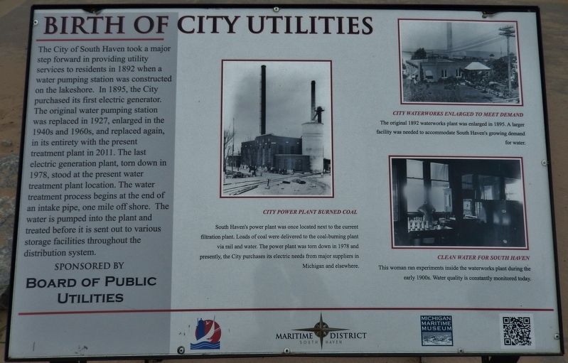
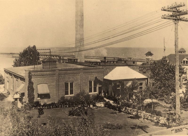
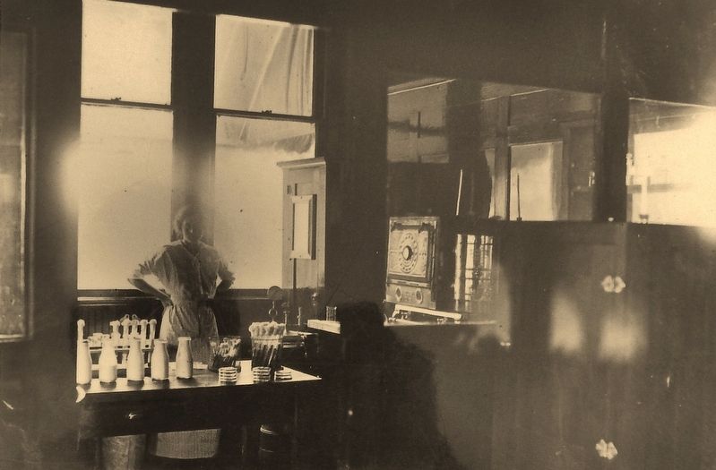
Birth of City Utilities
Erected by Board of Public Utilities & Michigan Maritime Museum.
Topics. This historical marker is listed in these topic lists: Charity & Public Work • Industry & Commerce. A significant historical year for this entry is 1892.
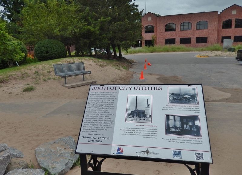
Location. 42° 24.115′ N, 86° 16.978′ W. Marker is in South Haven, Michigan, in Van Buren County. Marker can be reached from Water Street, 0.1 miles west of St. Joseph Street, on the right when traveling west. Marker is located on the South Haven Harbor Walk, east of South Beach Park, and directly across Water Street from the old public utilities building. Touch for map. Marker is at or near this postal address: 10 Water Street, South Haven MI 49090, United States of America. Touch for directions.
Other nearby markers. At least 8 other markers are within walking distance of this marker. Lifesaving Station (a few steps from this marker); History of the Channel Piers (within shouting distance of this marker); South Haven Lighthouse (within shouting distance of this marker); Resort Industry (within shouting distance of this marker); Over a Century of Tourism (within shouting distance of this marker); The Lightkeeper's Dwelling (about 400 feet away, measured in a direct line); Lumber Industry (about 600 feet away); Entertainment Around the Harbor (approx. ¼ mile away). Touch for a list and map of all markers in South Haven.
More about this marker. Marker is a large composite plaque, mounted horizontally on waist-high posts. Marker is part of South Haven's Harbor Walk series.
Related markers. Click here for a list of markers that are related to this marker. South Haven Harbor Walk
Also see . . . South Haven Harbor Walk. This South Haven Harbor Walk map shows the location of this and other historical markers in South Haven. (Submitted on June 26, 2018, by Cosmos Mariner of Cape Canaveral, Florida.)
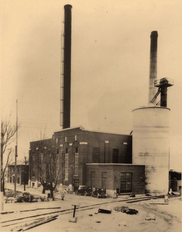
2. Marker detail: City Power Plant Burned Coal
South Haven's power plant was once located next to the current filtration plant. Loads of coal were delivered to the coal-burning plant via rail and water. The power plant was torn down in 1978 and presently, the City purchases its electric needs from major suppliers in Michigan and elsewhere.
Credits. This page was last revised on August 18, 2022. It was originally submitted on June 25, 2018, by Cosmos Mariner of Cape Canaveral, Florida. This page has been viewed 182 times since then and 12 times this year. Photos: 1, 2, 3, 4, 5. submitted on June 26, 2018, by Cosmos Mariner of Cape Canaveral, Florida. • Andrew Ruppenstein was the editor who published this page.
