Avery Island in Iberia Parish, Louisiana — The American South (West South Central)
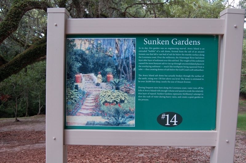
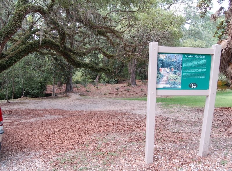
Sunken Gardens
In its day, this garden was an engineering marvel. Avery Island is an extruded "bubble" of a salt dome, formed from the salt of an ancient Jurassic sea that left a vast bed of salt far below the marshy surface along the Louisiana coast. Over the millennia, the Mississippi River laid down layer after layer of sediment over this salt bed. The weight of the sediment caused the more buoyant salt to rise up through unconsolidated places in the overlaying sediment - much like toothpaste being squeezed from a tube - thus creating domes of salt below the Gulf Coast's soft subsurface.
The Avery Island salt dome has actually broken through the surface of the earth, rising over 150 feet above sea level. The dome is estimated to be over 26,000 feet deep, nearly the size of Mount Everest.
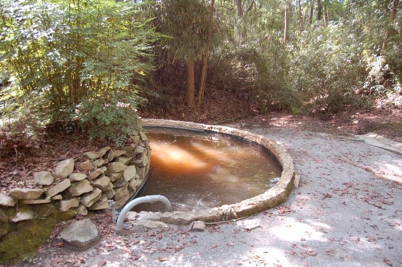
During frequent rains here along the Louisiana coast, water runs off the hills of Avery Island with enough volume and speed to erode the relatively thin layer of topsoil. Sunken Gardens represents McIlhenny's attempt to slow the rush of water during heavy rains, and create a quiet garden in the process. (Marker Number 14.)
Topics. This historical marker is listed in this topic list: Horticulture & Forestry.
Location. 29° 54.497′ N, 91° 54.791′ W. Marker is on Avery
Other nearby markers. At least 8 other markers are within walking distance of this marker. Bird City (about 400 feet away, measured in a direct line); McIlhenny (about 500 feet away); Bamboo (about 600 feet away); Buddah (approx. 0.2 miles away); Boat House (approx. 0.2 miles away); This Buddah (approx. 0.2 miles away); The Cleveland Oak (approx. 0.3 miles away); Bayou Petite Anse (approx. 0.4 miles away). Touch for a list and map of all markers in Avery Island.
More about this marker. Stop #14 on the Jungle Garden self driving tour.
Credits. This page was last revised on July 29, 2022. It was originally submitted on July 5, 2018, by Cajun Scrambler of Assumption, Louisiana. This page has been viewed 332 times since then and 47 times this year. Photos: 1, 2, 3. submitted on July 5, 2018.


