Broadfield in Glynn County, Georgia — The American South (South Atlantic)
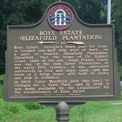
Boys Estate
(Elizafield Plantation)
←—1/2 mi.—«
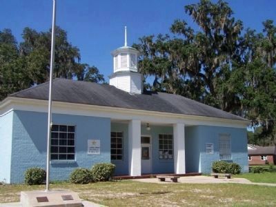
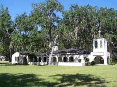
Boys Estate, Georgia's town just for boys, is located one-half mile west of here, on a part of historic Elizafield Plantation. Elizafield, first the home of Dr. Robert Grant, later of his son, Hugh Fraser Grant, was one of the rich River Plantations of the early 19th century. It was cultivated intensively in rice and sugar cane, and the ruins of a large sugar mill built of tabby are still in evidence.
In 1935, Cator Woolford gave this tract to Georgia for a State Park, and in 1945 it was made available by the Legislature for the establishment of Boys Estate.
Erected 1957 by Georgia Historical Commission. (Marker Number 063-22.)
Topics and series. This historical marker is listed in these topic lists: Education • Notable Places. In addition, it is included in the Georgia Historical Society series list. A significant historical year for this entry is 1935.
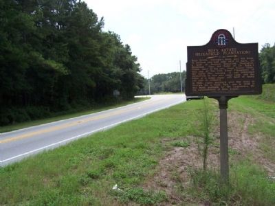
Location. 31° 18.502′ N, 81° 27.635′ W. Marker is in Broadfield, Georgia, in Glynn County. Marker is on Ocean Highway (U.S. 17) north of Georgia Highway 99, on the right when traveling south. Touch for map. Marker is in this post office area: Brunswick GA 31525, United States of America. Touch for directions.
Other nearby markers. At least 8 other markers are within walking distance of this marker. Hopeton-on-the-Altamaha (within shouting distance of this marker); Hofwyl-Broadfield Plantation Historic Site (approx. 0.2 miles away); Hofwyl-Broadfield Plantation State Historic Site (approx. 0.2 miles away); If Trees Could Speak… (approx. 0.3 miles away); Enslavement, Resistance, Creativity, and Resilience (approx. 0.4 miles away); Hofwyl Dairy (approx. 0.4 miles away); The Legacy of the Land and the Stewards of Hofwyl-Broadfield (approx. half a mile away); Twentieth-Century Changes (approx. half a mile away).
Credits. This page was last revised on August 22, 2020. It was originally submitted on October 5, 2008, by Mike Stroud of Bluffton, South Carolina. This page has been viewed 1,542 times since then and 45 times this year. Photos: 1, 2, 3, 4. submitted on October 5, 2008, by Mike Stroud of Bluffton, South Carolina. • Bill Pfingsten was the editor who published this page.


