Near Balsam Grove in Transylvania County, North Carolina — The American South (South Atlantic)
Restoring A Forest
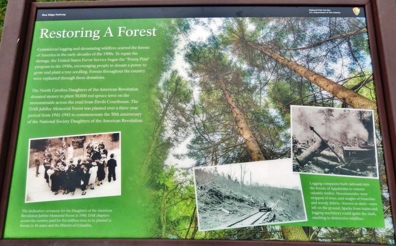
The North Carolina Daughters of the American Revolution donated money to plant 50,000 red spruce trees on the mountainside across the road from Devils Courthouse. The DAR Jubilee Memorial Forest was planted over a three-year period from 1941-1943 to commemorate the 50th anniversary of the National Society Daughters of the American Revolution.
Erected by National Park Service, U.S. Department of the Interior.
Topics. This historical marker is listed in these topic lists: Fraternal or Sororal Organizations • Horticulture & Forestry • Industry & Commerce.
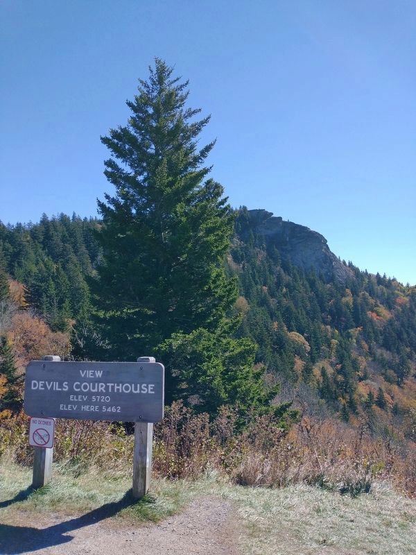
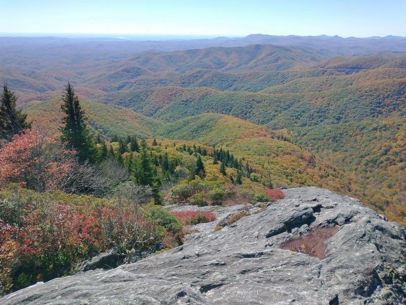
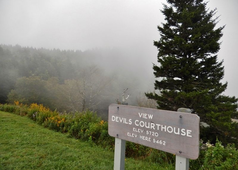
Location. 35° 18.312′ N, 82° 53.958′ W. Marker is near Balsam Grove, North Carolina, in Transylvania County. Marker is on Blue Ridge Parkway (at milepost 422.4), 0.9 miles north of Lake Logan Road (State Highway 215), on the left when traveling south. Marker is located at the Devil's Courthouse overlook, on a platform beside the sidewalk, near the northeast corner of the parking lot. Touch for map. Marker is in this post office area: Balsam Grove NC 28708, United States of America. Touch for directions.
Other nearby markers. At least 8 other markers are within 8 miles of this marker, measured as the crow flies. Devil's Courthouse (a few steps from this marker); North Carolina Confederate Veterans Memorial Forest (approx. 0.4 miles away); Forest Decline (approx. 4 miles away); Highest Elevation on Blue Ridge Parkway (approx. 4 miles away); Looking Glass Rock (approx. 4.2 miles away); a different marker also named Looking Glass Rock (approx. 6.9 miles away); Civilian Conservation Corps (approx. 7.3 miles away); Getting Out the Timber (approx. 7.4 miles away).
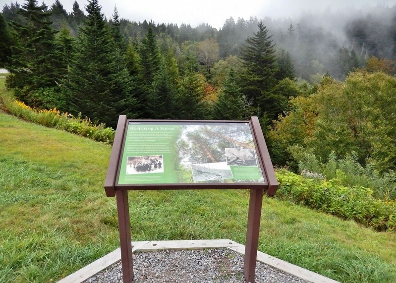
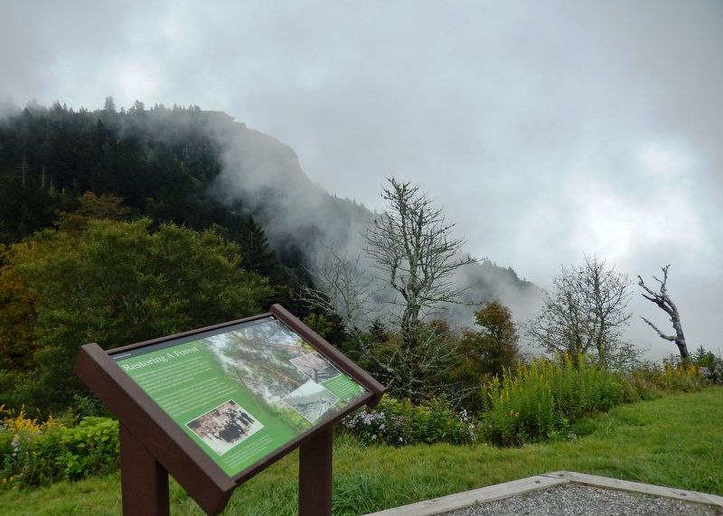
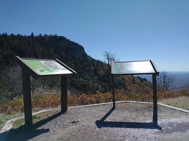
More about this marker. Marker is a large composite plaque, mounted horizontally on waist-high posts.
Related markers. Click here for a list of markers that are related to this marker. North Carolina Confederate Veterans Memorial Forest
Also see . . .
1. North Carolina Confederate Veterans Memorial Forest. For the Confederate forest one acre of trees was to be planted by the Forest Service for each five dollar donation raised by the U.D.C. which was given a choice of locations. The site finally chosen had been logged in the early 1900’s leaving a barren, flood-prone mountainside.
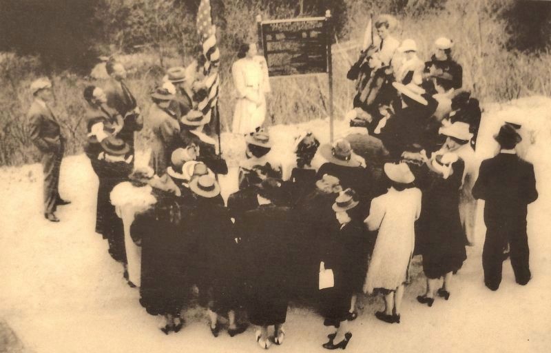
2. Marker detail: North Carolina Confederate Veterans Memorial Forest dedication ceremony
The dedication ceremony for the Daughters of the American Revolution Jubilee Memorial Forest in 1940. DAR chapters across the country paid for five million trees to be planted in forests in 36 states and the District of Columbia.
2. The "Penny Pine" program. In 1939, the President General, Mrs. Henry M. Robert, chose the Penny Pine program as one of her Golden Jubilee National Projects. Each state was to have a memorial forest, beginning in 1939 and culminating in 1941 on the NSDAR 50th Anniversary. Each chapter across the country was to pledge, at the very least, one acre of pine seedlings. Five dollars an acre at a penny each equals 500 trees. The Civilian Conservation Corp (CCC), under the supervision of the U.S. Forestry Service, would do the actual work of planting and care. (Submitted on September 18, 2018, by Cosmos Mariner of Cape Canaveral, Florida.)

3. Marker detail: Logging company "slash"
Logging companies built railroads into the forests of Appalachia to remove valuable timber. Mountainsides were stripped of trees, and tangles of branches and woody debris—known as slash—were left on the ground. Sparks from trains and logging machinery could ignite the slash, resulting in destructive wildfires.
Credits. This page was last revised on October 29, 2023. It was originally submitted on September 15, 2018, by Cosmos Mariner of Cape Canaveral, Florida. This page has been viewed 278 times since then and 25 times this year. Photos: 1, 2, 3, 4, 5. submitted on September 18, 2018, by Cosmos Mariner of Cape Canaveral, Florida. 6, 7, 8. submitted on October 23, 2023, by Tom Bosse of Jefferson City, Tennessee. 9. submitted on September 18, 2018, by Cosmos Mariner of Cape Canaveral, Florida. • Andrew Ruppenstein was the editor who published this page.
