Adairville in Logan County, Kentucky — The American South (East South Central)
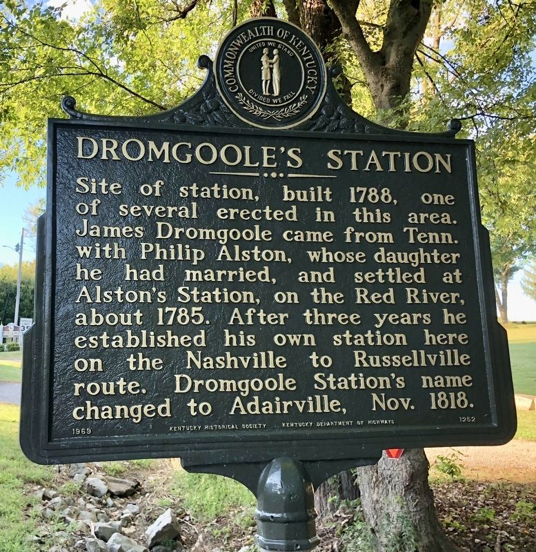
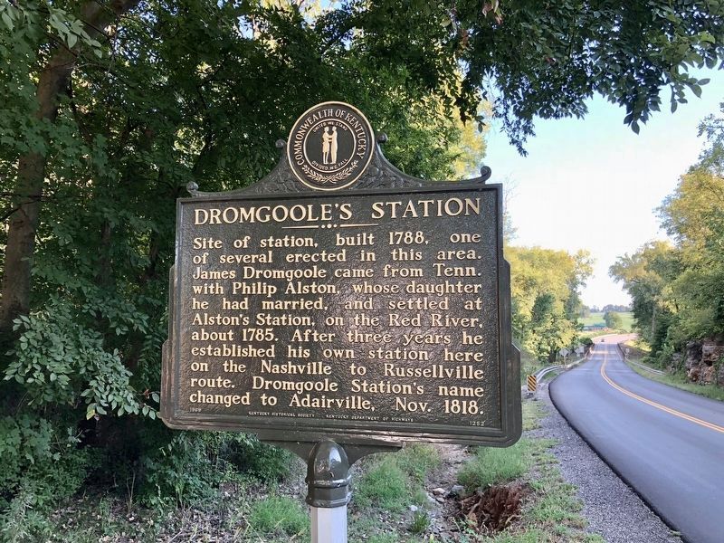
Dromgoole's Station
Erected 1969 by Kentucky Historical Society, Kentucky Department of Highways. (Marker Number 1252.)
Topics and series. This historical marker is listed in these topic lists: Notable Places • Settlements & Settlers. In addition, it is included in the Kentucky Historical Society series list. A significant historical month for this entry is October 1818.
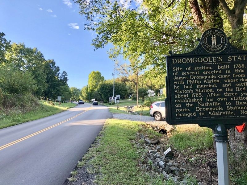
Location. 36° 39.761′ N, 86° 51.063′ W. Marker is in Adairville, Kentucky, in Logan County. Marker is on U.S. 431 south of 1st Street, on the left when traveling south. Located at the southern city line. Touch for map. Marker is in this post office area: Adairville KY 42202, United States of America. Touch for directions.
Other nearby markers. At least 8 other markers are within 11 miles of this marker, measured as the crow flies. Jackson-Dickinson Duel (approx. 0.3 miles away); Boyhood Home, 1793-1802 (approx. 0.8 miles away); Tennessee / Kentucky (approx. 1˝ miles away in Tennessee); Red River Meeting House (approx. 2.8 miles away); Site of The Red River Meeting House (approx. 4˝ miles away); Brodnax-Conn House (approx. 4.9 miles away); Virgil Munday Chapman (approx. 9 miles away); Springfield (approx. 10.8 miles away in Tennessee). Touch for a list and map of all markers in Adairville.
Regarding Dromgoole's Station. Adairville is named for the eighth Governor of Kentucky John Adair (January 9, 1757 – May 19, 1840) He was an American pioneer, soldier, and politician.
Credits. This page was last revised on September 16, 2018. It was originally submitted on September 16, 2018, by Mark Hilton of Montgomery, Alabama. This page has been viewed 750 times since then and 51 times this year. Photos: 1, 2, 3. submitted on September 16, 2018, by Mark Hilton of Montgomery, Alabama.


