Greater South River City in Austin in Travis County, Texas — The American South (West South Central)
Ollie O. Norwood Estate
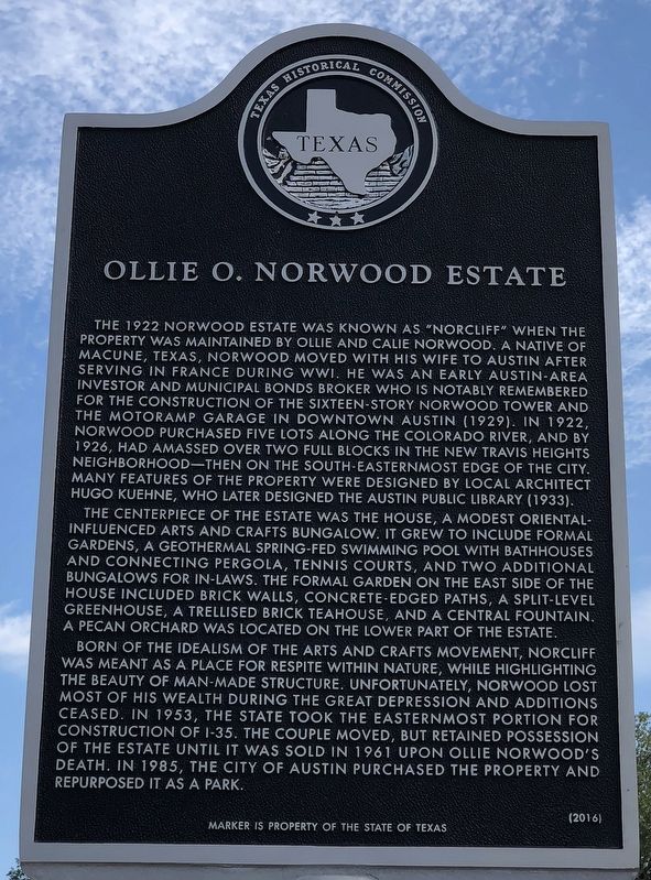
The 1922 Norwood Estate was known as "Norcliff" when the property was maintained by Ollie and Calie Norwood. A native of Macune, Texas, Norwood moved with his wife to Austin after serving in France during WWI. He was an early Austin-area investor and municipal bonds broker who is notably remembered for the construction of the sixteen-story Norwood Tower and the Motoramp Garage in downtown Austin (1929). In 1922, Norwood purchased five lots along the Colorado River, and by 1926, had amassed over two full blocks in the new Travis Heights Neighborhood — then on the south-easternmost edge of the city. Many features of the property were designed by local architect Hugo Kuehne, who later designed the Austin Public Library (1933).
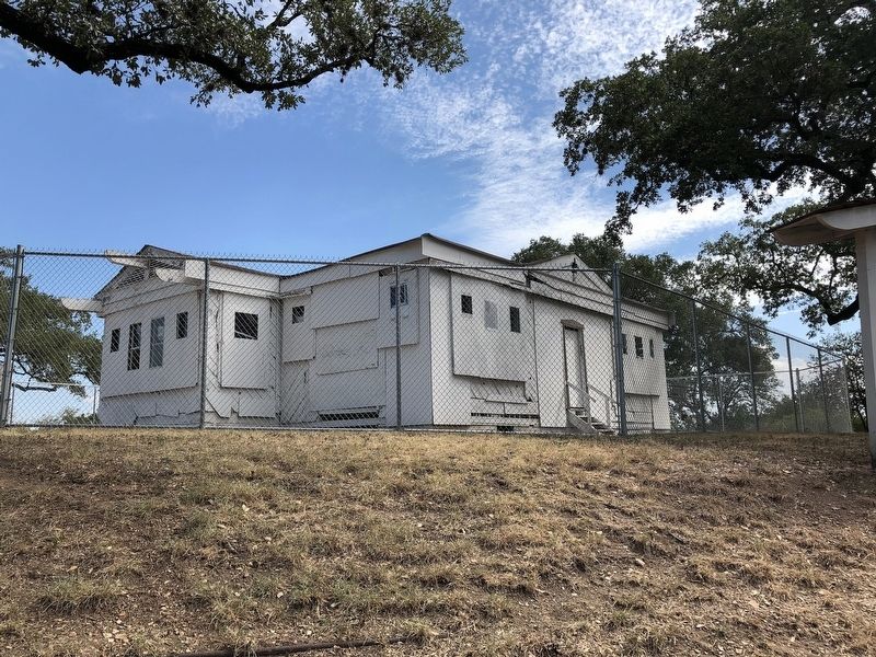
The centerpiece of the Estate was the house, a modest Oriental-Influenced Arts and Crafts bungalow. It grew to include formal gardens, a geothermal spring-fed swimming pool with bathhouses and connecting pergola, tennis courts, and two additional bungalows for in-laws. The formal garden on the east side of the house included brick walls, concrete-edged paths, a split-level greenhouse, a trellised brick teahouse, and a central fountain. A pecan orchard was located on the lower part of the estate.
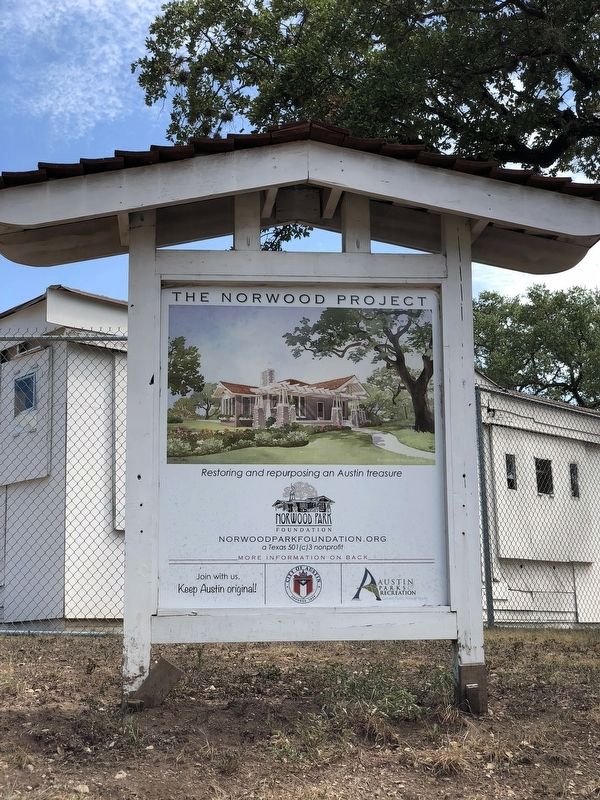
Born of the idealism of the Arts and Crafts movement, Norcliff was meant as a place for respite within nature, while highlighting the beauty of man-made structures. Unfortunately, Norwood lost most of his wealth during the Great Depression and additions ceased. In 1953, the state took the easternmost portion for construction of I-35. The couple moved, but retained possession of the estate until it was sold in 1961 upon Ollie Norwood's death. In 1985, the City of Austin purchased the property and repurposed it as a park.
Marker is property of the State of Texas
Erected 2016 by Texas Historical Commission. (Marker Number 18478.)
Topics. This historical marker is listed in these topic lists: Architecture • Industry & Commerce. A significant historical year for this entry is 1922.
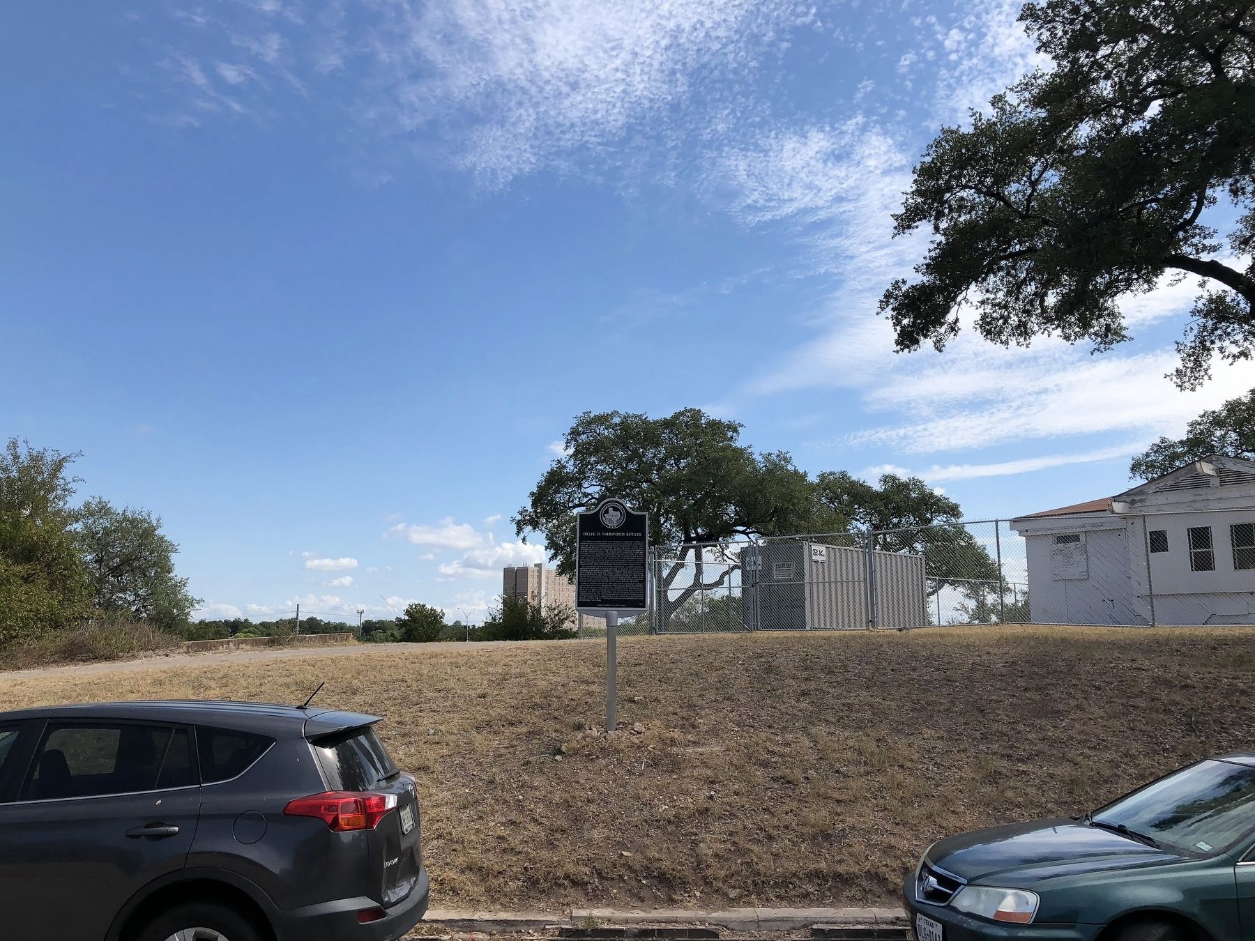
Location. 30° 14.982′ N, 97° 44.24′ W. Marker is in Austin, Texas, in Travis County. It is in Greater South River City. Marker is on Edgecliff Terrace north of East Riverside Drive, on the right when traveling west. Touch for map. Marker is at or near this postal address: 1012 Edgecliff Terrace, Austin TX 78704, United States of America. Touch for directions.
Other nearby markers. At least 8 other markers are within walking distance of this marker. National Fish Hatchery (approx. 0.4 miles away); The Academy (approx. 0.4 miles away); The “Austin Statesman” (approx. 0.7 miles away); Walter and Mae Simms House (approx. 0.7 miles away); Texas School for the Deaf (approx. 0.7 miles away); Reuter House (approx. ¾ mile away); Texas Dental Association (approx. 0.8 miles away); Site of the Headquarters of the United States Army for 5th Military District (approx. 0.8 miles away). Touch for a list and map of all markers in Austin.
Credits. This page was last revised on February 1, 2023. It was originally submitted on September 18, 2018, by QuesterMark of Fort Worth, Texas. This page has been viewed 502 times since then and 47 times this year. Photos: 1, 2, 3, 4. submitted on September 18, 2018, by QuesterMark of Fort Worth, Texas. • Bernard Fisher was the editor who published this page.


